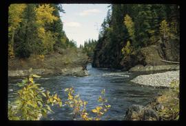
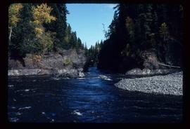
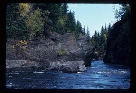
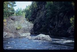
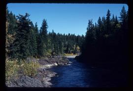
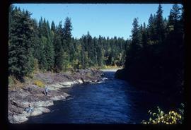
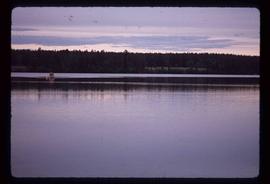
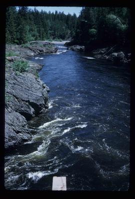
Image depicts a riverboat on the Fraser River, possibly in Longworth, B.C.
Image depicts a boat launch with several people nearby; it is possibly at War Lake in Carp Lake Provincial Park.
Image depicts a boat launch; it is possibly at War Lake in Carp Lake Provincial Park.
Image depicts a boarded up building in Stewart B.C. There is also a sign that reads: "No U Turns."
Image depicts an abandoned cabin and shed on Blackwater Road.
Image depicts Blackwater River, B.C.
Image depicts the Blackwater River.
Image depicts Blackwater River.
Image depicts Blackwater River, B.C.
Image depicts a view of Blackwater in the country near Punchaw, B.C.
Image depicts a view of Blackburn Schools, possibly taken from Tabor Mountain.
Image depicts the a flock of ducks on Big Bar Lake north of Clinton, B.C..
Image depicts two individuals on a canoe on Big Bar Lake north of Clinton, B.C..
Image depicts the Berg Glacier and Mt. Robson.
Image depicts the Berg Glacier at Berg Lake in the Mt. Robson Provincial Park.
Image depicts the Berg Glacier and Berg Lake near Mt. Robson.
Image depicts Bellos Road, most likely in Red Rock, B.C.
Image depicts a Beehive Burner along the Nechako on River Road. Map coordinates 53°55'34.1"N 122°44'58.0"W
Image depicts a beehive burner, as well as rail road tracks, at an unknown location.
Image depicts an esker at Bednesti Lake, B.C.
Image depicts what appears to be a small ranch. The slide is labelled "Becher's Prairie," possibly meaning Becher's Prairie Provincial Park in B.C.
Image depicts a field of hay somewhere in Beaver Valley.
Image depicts the canoe group preparing to canoe on Beaver Pond, which is the start of Kibbee Lake.
Image depicts a section of road running through the Bear River Gorge.
Image depicts what is possibly Bear River, flowing out from an opening in the Bear Glacier.
Image depicts what is possibly Bear River flowing past what is likely a section of the Bear Glacier.
Image depicts what is possibly Bear River in the Bear Glacier Provincial Park.
Image depicts the Bear River.
Image depicts what is possibly Bear River in the Bear Glacier Provincial Park.
Image depicts a view of Bear Pass, likely from Glacier Highway and somewhere in or near Bear Glacier Provincial Park, located north-east of Stewart, B.C.
Image depicts a dog on a road, and a view of the mountains in Bear Glacier Provincial Park.
Image depicts the Bear Glacier stretching through a mountain range.
Image depicts Sue Sedgwick with a dog, standing with the Bear Glacier in the background.
Image depicts Sue and Kent Sedgwick with two dogs, standing with the Bear Glacier in the background.