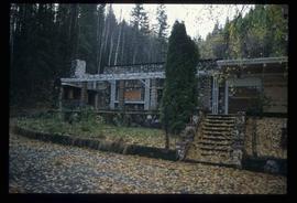
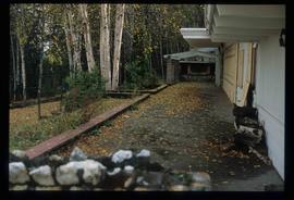
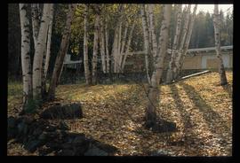
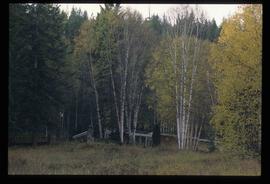
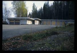
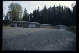
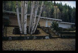
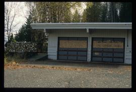
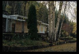
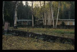
Print preview Close

Showing 531 results

Archival description
482 results with digital objects Show results with digital objects
Highway 97
2012.13.1.3.021 · Item · Oct. 1975
Part of J. Kent Sedgwick fonds

Image depicts Highway 97 at 15th Ave. looking north. Map coordinates 53°54'36.0"N 122°46'55.5"W

Highway 97
2012.13.1.3.022 · Item · Oct. 1975
Part of J. Kent Sedgwick fonds

Image depicts Highway 97 at 15th Ave. looking north. Map coordinates 53°54'42.1"N 122°46'53.1"W

Highway 97
2012.13.1.3.164 · Item · May 2001
Part of J. Kent Sedgwick fonds

Image depicts a section of Highway 97 looking south. Map coordinates 53°55'10.3"N 122°46'54.9"W

Highway
2012.13.1.7.246 · Item · Mar. 2003
Part of J. Kent Sedgwick fonds

Image depicts a highway, possibly Highway 97, in Prince George, B.C.

Handshake
2012.13.1.133.09 · Item · 1985
Part of J. Kent Sedgwick fonds

Image depicts a man and woman shaking hands in a building at an uncertain location, possibly in Cottonwood Park. The man standing behind the two is possibly Elmer Mercier, a former mayor of Prince George, B.C.

Gravel
2012.13.1.124.18 · Item · Oct. 1975
Part of J. Kent Sedgwick fonds

Image depicts layers of gravel at the BCR site in Prince George, B.C.

Gravel
2012.13.1.124.19 · Item · Oct. 1975
Part of J. Kent Sedgwick fonds

Image depicts layers of gravel at the BCR site in Prince George, B.C.

Ginter House
2012.13.1.14.03 · Item · Dec. 1997
Part of J. Kent Sedgwick fonds

Image depicts the Ginter House and the surrounding woods, in Prince George, B.C.