2012.13.1.106
·
Subsérie
·
1978
Parte de J. Kent Sedgwick fonds
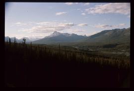
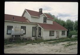
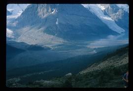
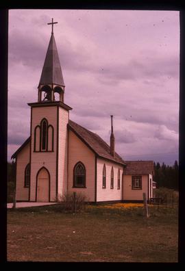
File contains slides depicting places along Route 80 in the USA.