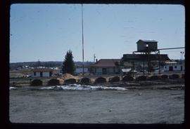
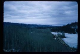
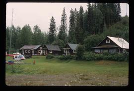
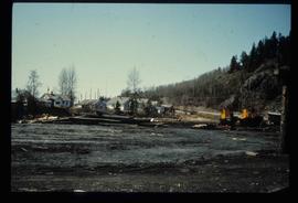
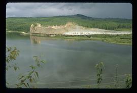
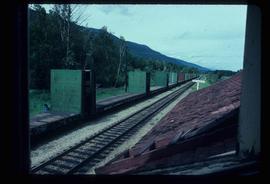
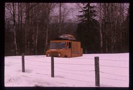
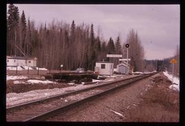
Image depicts the CN Station, with bundles of wood sitting near the tracks, in Giscome, B.C. Map coordinates 54°04'32.3"N 122°21'42.3"W
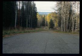
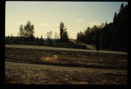
Image depicts a road near the Ginter House in Prince George, B.C.
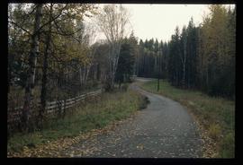
Image depicts a road near the Ginter House in Prince George, B.C.
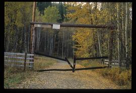
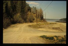
Image depicts a private driveway, most likely leading to the Ginter Property in Prince George, B.C.
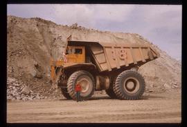
Image depicts a loading truck at the Gibraltar mine site north of Williams Lake, B.C.
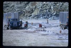
Image depicts a number of workers putting in blasting powder at the Gibraltar mine site north of Williams Lake, B.C.
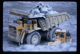
Image depicts an 80 tonne truck full of rocks at the Gibraltar mine site north of Williams Lake, B.C.
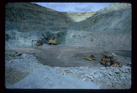
Image depicts the Gibraltar mine site north of Williams Lake, B.C.
Image depicts an unknown woman standing in front of a truck that either weighs 80 tonnes, or is capable of carrying that much; the slide is simply labelled "80 tons." It is located at the Gibraltar mine site.
Image depicts a helicopter in Germansen Landing, B.C.
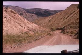
Image depicts a road near or on Gang Ranch in the Upper Fraser Canyon.
File consists of reproductions and typescript documents relating to the "From Trail to Rail" book written by Audrey L'Heureux and promotion of the book at the Alexander Mackenzie Trail Association annual meeting in 1989.
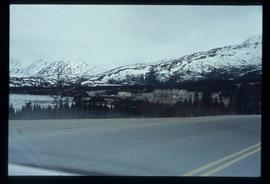
Image depicts the small town of Fraser, B.C. Located on the Klondike Highway.
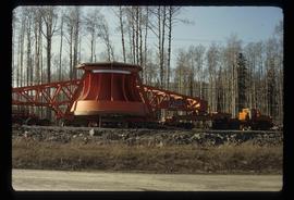
Image depicts a turbine on the back of an industrial vehicle, located somewhere in Fort St. John, B.C. The slide is labelled "Site one dam; turbine prop. (Russian.)"
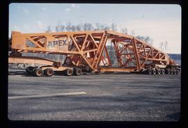
Image depicts a turbine on a large industrial vehicle somewhere in or near Fort St. John, B.C.
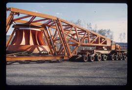
Image depicts a turbine on the back of an industrial vehicle, located somewhere in Fort St. John, B.C.
File consists of notes and reproductions relating to a brochure about the Fort George Railway and the "Little Prince" 24? gauge steam engine. Includes: "Fort George Railway" brochure prepared by Kent Sedgwick (May 1988); "Fort George Railway Society" typescript letter to George Finsterle from Kent Sedgwick (1 May 1989); and "Fraser-Fort George Regional Museum" brochure (1988).
Image depicts the former location of the Giscome mill foreman's house on the hill with Eaglet Lake in the background. Map coordinates 54°04'28.0"N 122°22'05.8"W
Image depicts the former location of employee houses on mill site in Giscome, B.C. Map coordinates 54°04'23.4"N 122°22'16.9"W
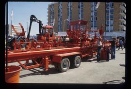
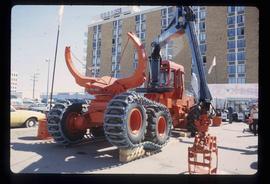
Image depicts several pieces of heavy machinery used in forestry. The Coast Inn of the North is seen in the background.
Image depicts several pieces of heavy machinery used in forestry. The Coast Inn of the North is seen in the background.
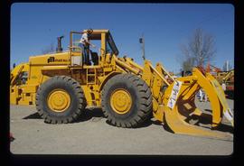
Image depicts an unidentified individual examining a piece of heavy machinery used in the forestry industry. It is located in Prince George, B.C.
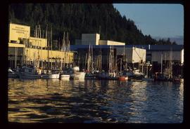
Image depicts numerous boats docked by a buildings identified as the "Prince Rupert Fishermen's Co-operative Association."
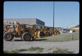
Image depicts numerous tractors at Finning Tractor and Equipment Co. Ltd. located along Highway 97 in Prince George, B.C.
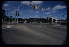
Image depicts the intersection of 5th Ave and Highway 97 looking northeast. Map coordinates 53°55'14.0"N 122°46'54.8"W
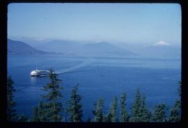
Image depicts a ferry entering Horseshoe Bay in the Howe Sound region.
File consists of notes, clippings, and reproductions relating to ferry boat service in and around Prince George. Includes material regarding the Fraser River Fort George ferry; the Isle Pierre ferry; and the Miworth ferry. File also includes photographs depicting a building at Isle Pierre in the 1970s and the ferry crossing at Isle Pierre in 2005.
Image depicts employee houses on mill site in Giscome, B.C. Tug boats are in the foreground on the right. Map coordinates 54°04'23.4"N 122°22'16.9"W
File contains slides depicting places along the east line of the BC Railway.
File contains slides depicting places along the east line of the BC Railway. Some are duplicates of the images found in the "East Line, Dome Creek - Lamming Mills - Misc" file.
Image depicts the site of Giscome's first quarry, with a train passing by and Eaglet Lake located in the foreground.
File consists notes and reproductions relating to the Dunster station and Mcbride station. Includes: "Re: Dunster Station - Grants, etc". typescript letter from Derek Trimmer, Heritage Advisory Committee, to Karen Craigue, Dunster Community Association (21 Apr. 1988) and "Proposal for the Acquisition, Restoration and use of the Dunster C.N.R. Station" typescript document prepared by Heritage Committee of Dunster Community Association (Feb. 1986). Also includes a photograph depicting the Dunster station (1980?).
Image depicts the train tracks at the old Dunster Station in Dunster, B.C.
Image depicts a strangely shaped orange vehicle somewhere in Dome Creek, B.C.
Image depicts the CN Station in Dome Creek, B.C.
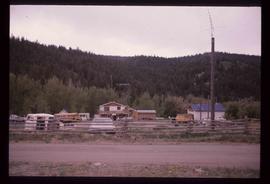
Image depicts a house and numerous rundown vehicles in Dog Creek, B.C.
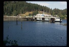
Image depicts a ferry docked at Haida Gwaii, B.C.
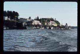
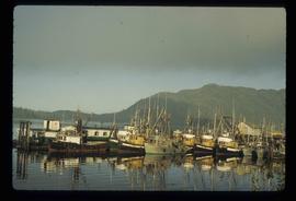
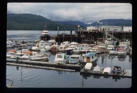
Image depicts numerous docked boats in Prince Rupert, B.C.
Image depicts numerous docked boats somewhere in Prince Rupert, B.C.
Image depicts numerous boats docked in Prince Rupert, B.C.
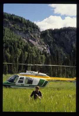
Image depicts the "Divides Lake Waterfall" as well as a man in front of a helicopter in the foreground.
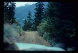
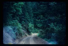
Image depicts a dirt road leading through a forest.
Image depicts a dirt road leading through a forest with what appears to be an area for turning around at the end.
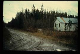
Image depicts a dirt road and a possibly abandoned building at an uncertain location.
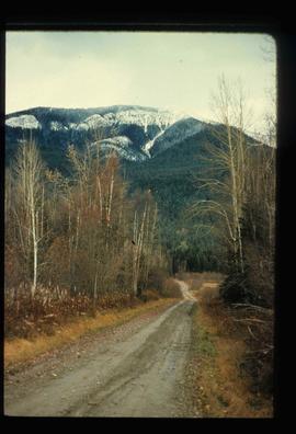
Image depicts a dirt road leading through numerous trees toward a mountain. The location is uncertain, likely on the way to Longworth, B.C.
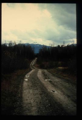
Image depicts a dirt road leading through numerous trees toward a mountain. The location is uncertain, likely on the way to Longworth, B.C.
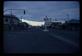
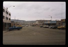
Image depicts a street of businesses and Mile "0" of the Alaskan Highway in Dawson Creek, B.C.
Image depicts Mile "0" of the Alaskan Highway in Dawson Creek, B.C.
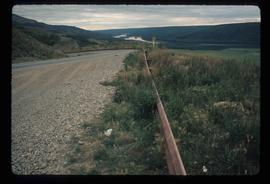
Image depicts a road with a guardrail and open fields somewhere near Dawson Creek, B.C.
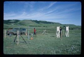
Image depicts two unidentified individuals and a van on a farm at an uncertain location, possibly a place called Cypress Hill, with an atmometer and a sunshine recorder.
