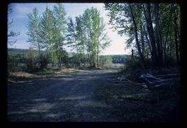
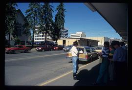
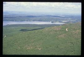
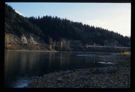
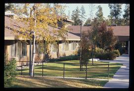
File contains slides depicting logging and equipment. Most appear to be locations around Prince George.
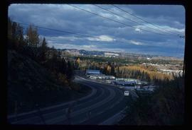
File contains slides depicting Prince George.
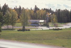
Image depicts Mr. P.G. and the Tourism Information site at the intersection of Highway 16 and 97. Map coordinates 53°53'46.5"N 122°46'00.7"W
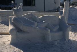
Image depicts a snow sculpture of the Mr. P.G. lounging on a couch, possibly during the Winter City Conference, in Prince George, B.C. Taken at the Prince George Civic Center. Map coordinates 53°54'45.6"N 122°44'59.6"W
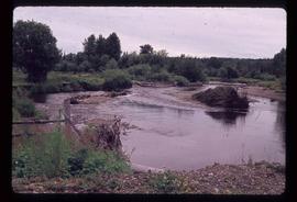
Image depicts Mud River, also known as the Chilako River, at Blackwater Road, Prince George, B.C.
Image depicts natural meadows, possibly east of Prince Georg, B.C.
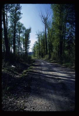
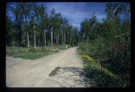
Image depicts a nature trail on Cottonwood Island.
Image depicts a nature trail on Cottonwood Island.
Image depicts a nature trail on Cottonwood Island.
Image depicts a nature trail on Cottonwood Island.
Image depicts a nature trail on Cottonwood Island.
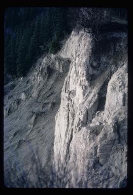
Image depicts a cutbank on the Nechako River in Prince George, B.C.
Image depicts the cutbanks on the other side of the Nechako, taken from the nature trail at Island Cache. Map coordinates 53°55'34.6"N 122°45'52.4"W
Image depicts the cutbanks on the other side of the Nechako, taken from the nature trail at Island Cache. Map coordinates 53°55'34.6"N 122°45'52.4"W
Image depicts the cutbanks on the other side of the Nechako, taken from the nature trail at Island Cache. Map coordinates 53°55'34.6"N 122°45'52.4"W
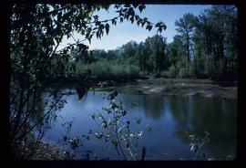
Image depicts what is possibly a small section of the Nechako River on Cottonwood Island.
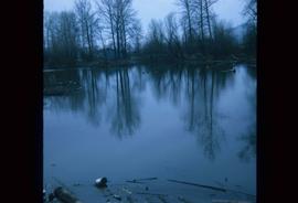
Image depicts a body of water in Island Cache. It is possibly a small section of the Nechako River.
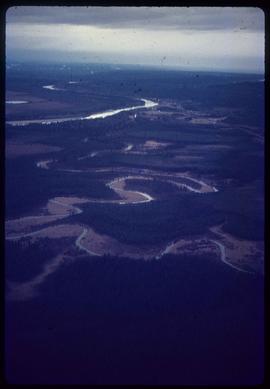
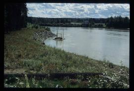
Image depicts the Nechako River on Cottonwood Island.
Image depicts the Nechako River from Cottonwood Island.
Image depicts the bank of the Nechako River at Island Cache.
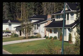
Image depicts a subdivision of Prince George, B.C.
Image depicts the Nechako Subdivision in Prince George, B.C.
File consists of original and photocopied newspaper clippings regarding Cottonwood Island and Island Cache, predominantly from the Prince George Citizen.
Subseries consists of newspapers collected by Kent Sedgwick and documents regarding the newspaper history of Prince George and region. Includes newspaper clippings relating to the history of newspapers in Prince George; issues of "The Spruce Needle" Prince George community newspaper; issues of the "Prince George Echo" newspaper; special editions of the Prince George Citizen Newspaper; and issues of "The Islander" magazine from Victoria.
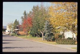
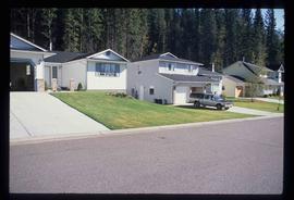
Image depicts a neighbourhood on North Meadows Road in Prince George, B.C.
Image depicts a neighbourhood on North Meadows Road in Prince George, B.C.
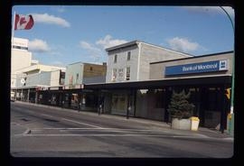
Image depicts the north side of 3rd Ave in Prince George, B.C.
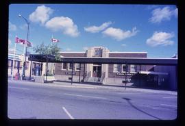
Image depicts the Canadian Forces Recruiting Centre on the north side of 3rd Ave in Prince George, B.C.
Photograph depicts Northern Hardware at 1386 3rd Avenue.
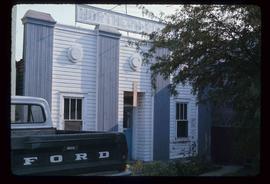
Image depicts an old building with a sign labelled "Northern Rooms" in an uncertain location somewhere in Prince George, B.C.
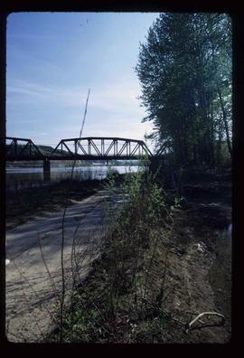
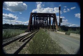
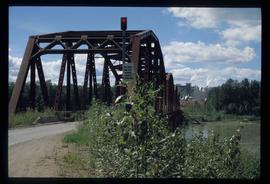
Image depicts the Northwood Bridge in Prince George, B.C.
Image depicts the Northwood Bridge in Prince George, B.C.
Image depicts the Northwood Bridge crossing in Prince George B.C.
Image depicts the Northwood pulpmill in Prince George B.C.
Image depicts the Northwood pulpmill in Prince George B.C.
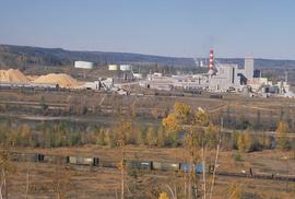
Image depicts the Northwood Pulpmill in Prince George, B.C. taken from above the Nechako River looking east. Map coordinates 53°56'00.0"N 122°44'29.7"W
Image depicts the Northwood pulpmill in Prince George B.C.
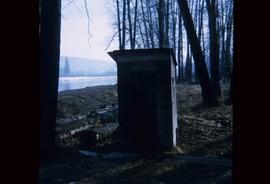
Image depicts what is likely an outhouse at Island Cache.
Image depicts a group of individuals on the sidewalk outside Spee-Dee Printers on Brunswick Street in Prince George, B.C.
Image depicts a view over Tabor Mountain.
Image depicts the Fraser River at Paddlewheel park, with a train on the other side of the river, in Prince George B.C.
Image depicts the Fraser River at Paddlewheel park, with a train on the other side of the river, in Prince George B.C.
Photograph depicts a parking lot and alleyway behind the Europe Hotel on 3rd Avenue.
Subseries consists of material collected and created by Kent Sedgwick for research regarding parks and outdoor recreation in Prince George. Material on parks includes Fort George Park (renamed to Lheidli T’enneh Memorial Park in 2015); Cottonwood Island Park; Connaught Hill; Moore's Meadow; L.C. Gunn Park; the Nechako Cutbanks; Paddlewheel Park; Monkman Provincial Park; Fraser Canyon Park; and Carp Lake. Also includes information on the creation of plaques and monuments, including the Alexander Mackenzie monument; the “Arrival of Steel” CN railway plaque; heritage interpretative signs for the Grand Trunk Pacific Railway; the Millar addition; and flooding and rivers. The files consists of various pamphlets and correspondence regarding the development of parks and the creation of interpretive materials.
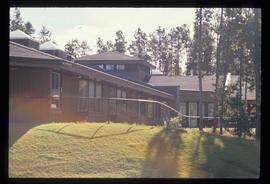
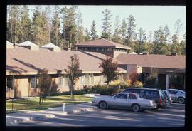
Image depicts Parkside Intermediate Care Home on Ospika Boulevard in Prince George. Map coordinates 53°55'02.6"N 122°47'41.6"W
Image depicts Parkside Intermediate Care Home on Ospika Boulevard in Prince George. Map coordinates 53°55'02.6"N 122°47'41.6"W
Image depicts Parkside Intermediate Care Home on Ospika Boulevard in Prince George. Map coordinates 53°55'02.6"N 122°47'41.6"W
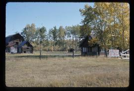
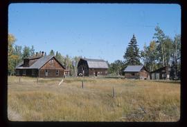
Image depicts the Pearson Homestead.
Image depicts the Pearson Homestead.
Image depicts a view of Peden Hill in Prince George, B.C.
