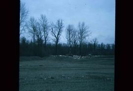
Image depicts a bulldozer and truck in an unknown location.
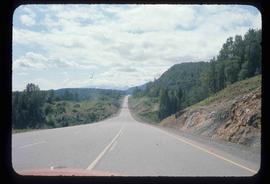
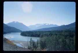
Image depicts a stretch of road through the Bulkley Valley.
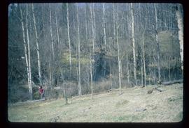
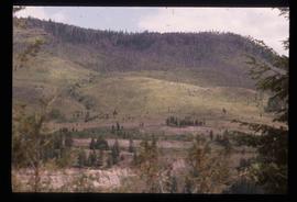
Image depicts a section of forest in the Bulkley Valley.
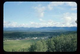
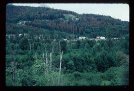
Image depicts a view of Bulkley Valley.
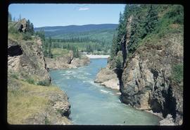
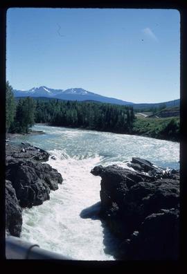
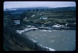
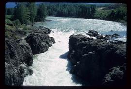
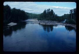
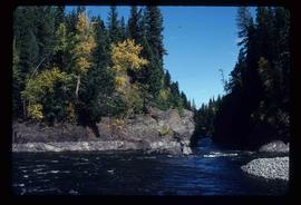
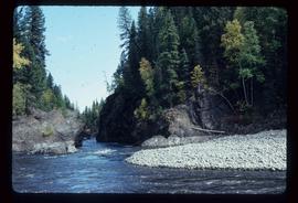
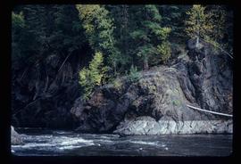
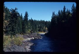
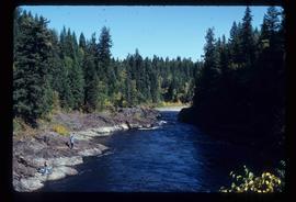
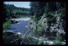
Image depicts the Bulkley River near Moricetown, B.C.
Image depicts the Bulkley River near Moricetown, B.C.
Image depicts the Bulkley River near Moricetown, B.C.
Image depicts the Bulkley River near Moricetown, B.C.
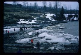
Image depicts numerous unknown individuals standing by the Bulkley River near Moricetown, B.C.
Image depicts a small group of people standing near the Bulkley River at Moricetown, B.C.
Image depicts the Bulkley River.
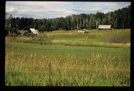
Image depicts several old buildings in a field, one of which has a caved-in roof, in Newlands, B.C. Map coordinates 54°06'28.2"N 122°12'01.0"W
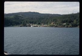
Image depicts numerous buildings and a dock on the shore of Haida Gwaii, B.C..
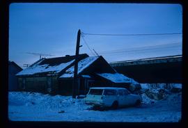
Image depicts a vehicle parked beside a small, wooden house in Upper Fraser, B.C. Map coordinates 54°07'05.7"N 121°56'38.9"W
File consists of notes, clippings, and reproductions relating to British Columbia historical bibliographies and reference material. Includes: "Rural British Columbia: A Bibliography of Social and Economic Research" typescript document compiled by Dean S. Goard (1967); "Photo chronicler of B.C. a century ago" clipped article from Canadian Photography magazine (Feb. 1977); and "A Guide to British Columbia Stop of Interest Plaques" pamphlet by the Parks Branch of British Columbia (1969).
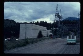
Image depicts the Bridge River No. 1 hydroelectric station on the shore of Seton Lake (rear side of powerhouse).
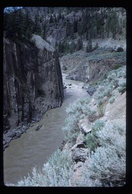
Image depicts the Bridge River near Lillooet, B.C.
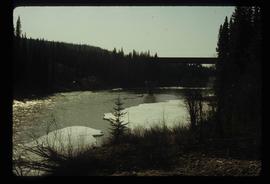
Image depicts a river in Tumbler Ridge, B.C. The bridge crossing it appears to be either half-missing or incomplete.
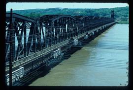
Image depicts a bridge in Prince George, B.C.
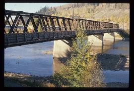
Image depicts a bridge in Prince George, B.C.
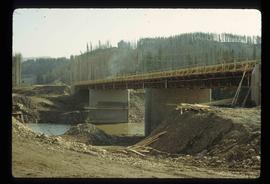
Image depicts a bridge under construction in Tumbler Ridge, B.C.
Image depicts a bridge in Prince George, B.C.
File contains slides depicting locations in and around Bralorne, B.C.
Image depicts an area of Barlone, B.C. surrounded by trees.
File contains slides depicting the Bowron Lake Provincial Park.
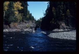
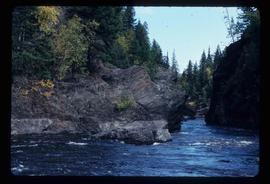
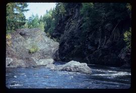
Image depicts what appears to be a log jam on what is possibly the Bowron River. The slide is simply labelled "Bowron Canyon."
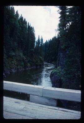
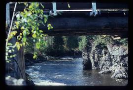
Image depicts what is possibly the Bowron River from a bridge. The slide is simply labelled "Bowron Canyon."
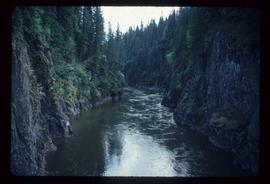
Image depicts what is possibly the Bowron River. The slide is simply labelled "Bowron Canyon."
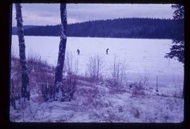
Image depicts Bobtail Lake.
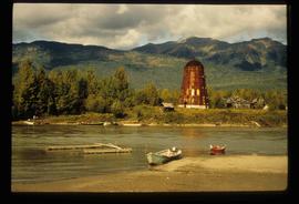
Image depicts several boats on what appears to be a river, and an old beehive burner in Penny, B.C.
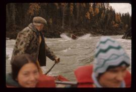
Image depicts a group of people in boats, with Ray Mueller steering one of them, on the Fraser River in the Grand Canyon, B.C.
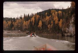
Image depicts a group of people in boats on the Fraser River in the Grand Canyon, B.C.
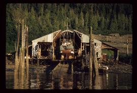
Image depicts a boat docked inside what appears to be a type of boathouse, possibly located in Metlakatla near Prince Rupert, B.C.
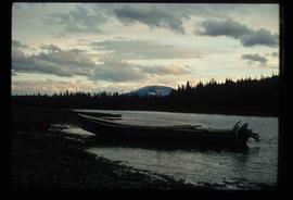
Image depicts a riverboat on the Fraser River, possibly in Longworth, B.C.
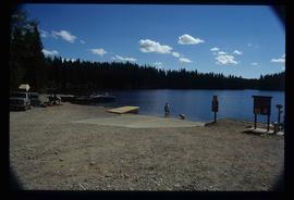
Image depicts a boat launch with several people nearby; it is possibly at War Lake in Carp Lake Provincial Park.
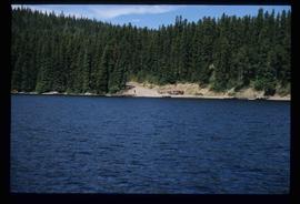
Image depicts a boat launch; it is possibly at War Lake in Carp Lake Provincial Park.
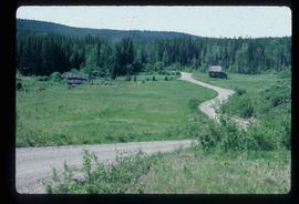
Image depicts an abandoned cabin and shed on Blackwater Road.
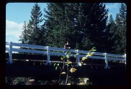
Image depicts a bridge over Blackwater River, with an unknown individual standing on it.
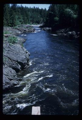
Image depicts Blackwater River, B.C.
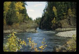
Image depicts the Blackwater River.
Image depicts Blackwater River.
Image depicts Blackwater River.
Image depicts Blackwater River.
Image depicts Blackwater River.
Image depicts Blackwater River.
Image depicts Blackwater River.
Image depicts Blackwater River.
Image depicts Blackwater River.
Image depicts Blackwater River.
Image depicts Blackwater River, B.C.
