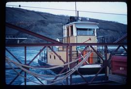
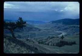
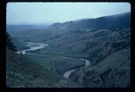
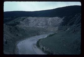
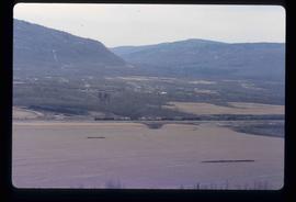
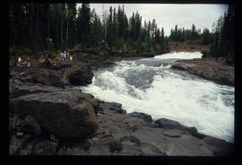
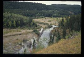
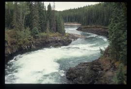
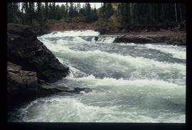
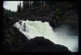
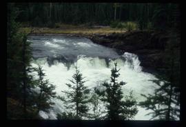
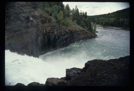
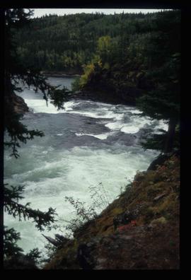
Image depicts the Clayhurst Ferry on the Peace River.
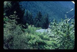
Image depicts a church on a hill somewhere in Seton Portage, B.C.
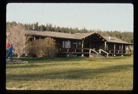
Image depicts the Chimney Lake Lodge.
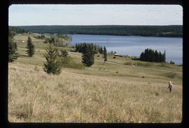
Image depicts Chimney lake with a number of houses near the shore, and a child in the foreground.
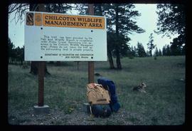
Image depicts a sign titled "Chilcotin Wildlife Management Area" somewhere near Riske Creek, B.C. It reads: "This trail has been provided by the Fish and Wildlife Branch in co-operation with Riske Creek Ranching Ltd., as access to the Chilcotin Wildlife Management Area. Please do not leave the the trail as the surrounding land is private property."
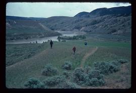
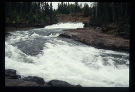
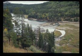
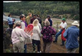
Image depicts a group of hikers hiking towards what is possibly the Chilcotin River.
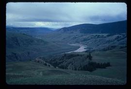
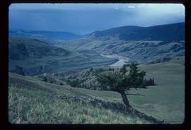
Image depicts what is possibly the Chilcotin River.
Image depicts what is possibly the Chilcotin River.
Image depicts what is possibly the Chilcotin River.
Image depicts what is possibly the Chilcotin River.
Image depicts what is possibly the Chilcotin River.
Image depicts a view of a train passing through an area of Chetwynd, B.C.
Image depicts a view of a saw mill in Chetwynd, B.C.
Image depicts a view of a saw mill in Chetwynd, B.C.
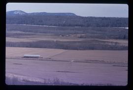
Image depicts a view of some farm land in Chetwynd, B.C.
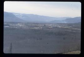
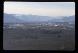
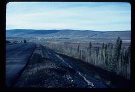
Image depicts a view of Chetwynd, possibly from Highway 97.
Image depicts the Cheslatta River.
Image depicts the Cheslatta River.
Image depicts the Cheslatta River.
Image depicts the Cheslatta River.
Image depicts the Cheslatta River.
Image depicts the Cheslatta River.
Image depicts what appears to be a tour group at Cheslatta.
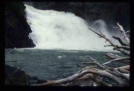
Image depicts the Cheslatta Falls.
Image depicts the Cheslatta Falls.
Image depicts the Cheslatta Falls.
Image depicts the Cheslatta Falls.
Image depicts the Cheslatta Falls.
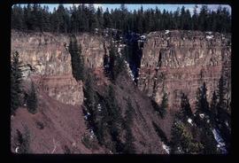
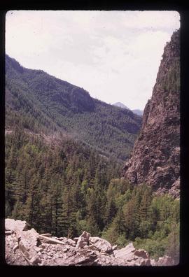
Image depicts the wall of a chasm full of trees at an unknown location.
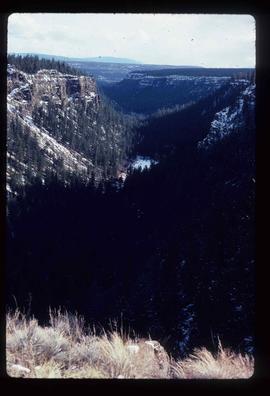
Image depicts a chasm full of trees at an unknown location.
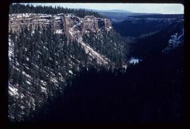
Image depicts a chasm full of trees at an unknown location.
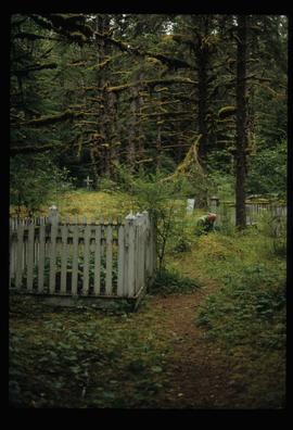
Image depicts an individual crouching in an old cemetery located somewhere in the coastal forest on Haida Gwaii, B.C.
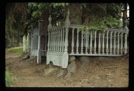
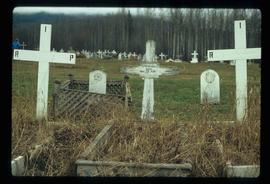
Image depicts the Barkerville Cemetery.
Image depicts a cemetery at an uncertain location, possibly in Fort St. James, B.C.
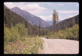
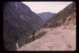
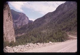
Image depicts a road in Cayoosh Valley.
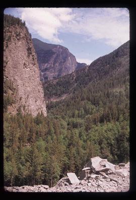
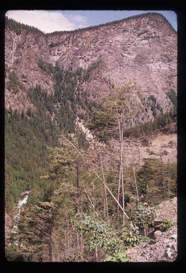
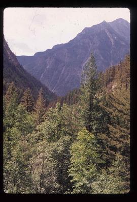
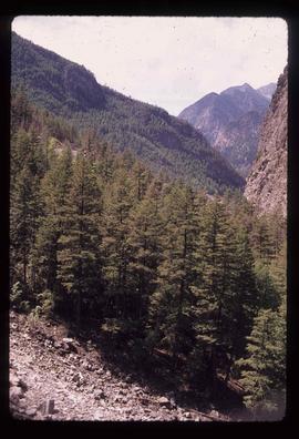
Image depicts a mountain side in Cayoosh Valley.
Image depicts a view of Cayoosh Valley.
Image depicts a view of Cayoosh Valley. Cayoosh Creek is visible in the bottom left corner of the image.
Image depicts Cayoosh Valley.
Image depicts Cayoosh Valley.
Image depicts a view of the scenery surrounding Cayoosh Creek.
Image depicts a view of the scenery surrounding Cayoosh Creek.
Image depicts a view of the scenery surrounding Cayoosh Creek.
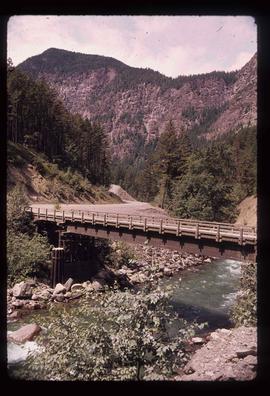
Image depicts a bridge over Cayoosh Creek.
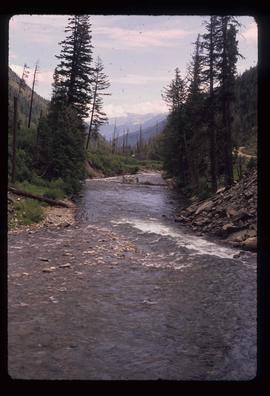
Image depicts Cayoosh Creek.
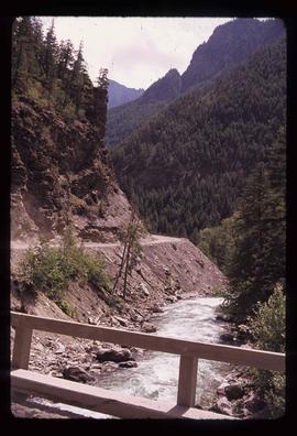
Image depicts Cayoosh Creek from a bridge in Cayoosh Valley.
File contains slides depicting a caving group in various places in West Virgina, USA.
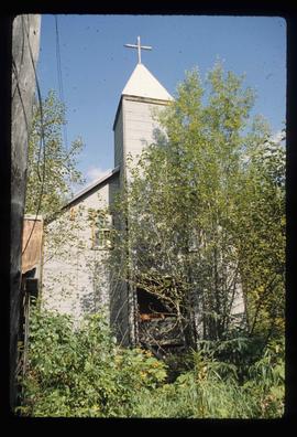
Image depicts the Catholic Church in Penny, B.C.
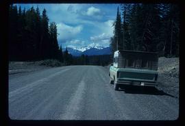
Image depicts a truck parked on the side of the Cassiar Highway.
File contains slides depicting images of areas in the Carp Lake Provincial Park.
