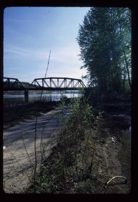
Image depicts the Northwood Bridge crossing in Prince George B.C.
File consists of original and photocopied newspaper clippings regarding Cottonwood Island and Island Cache, predominantly from the Prince George Citizen.
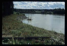
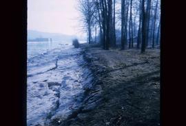
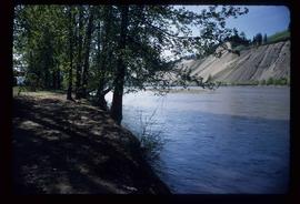
Image depicts the bank of the Nechako River at Island Cache.
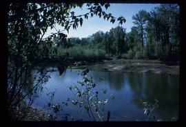
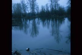
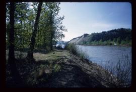
Image depicts what is possibly a small section of the Nechako River on Cottonwood Island.
Image depicts a body of water in Island Cache. It is possibly a small section of the Nechako River.
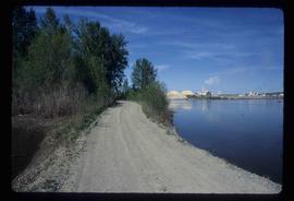
Image depicts the Nechako River on Cottonwood Island.
Image depicts the Nechako River from Cottonwood Island.
Image depicts the cutbanks on the other side of the Nechako, taken from the nature trail at Island Cache. Map coordinates 53°55'34.6"N 122°45'52.4"W
Image depicts the cutbanks on the other side of the Nechako, taken from the nature trail at Island Cache. Map coordinates 53°55'34.6"N 122°45'52.4"W
Image depicts the cutbanks on the other side of the Nechako, taken from the nature trail at Island Cache. Map coordinates 53°55'34.6"N 122°45'52.4"W
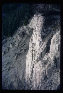
Image depicts a cutbank on the Nechako River in Prince George, B.C.
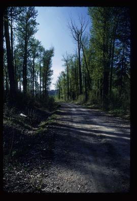
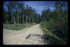
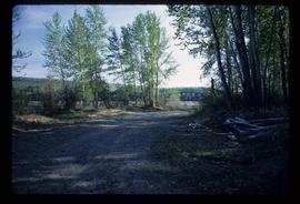
Image depicts a nature trail on Cottonwood Island.
Image depicts a nature trail on Cottonwood Island.
Image depicts a nature trail on Cottonwood Island.
Image depicts a nature trail on Cottonwood Island.
Image depicts a nature trail on Cottonwood Island.
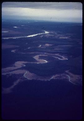
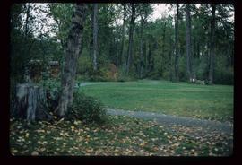
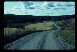
Image depicts natural meadows, possibly east of Prince Georg, B.C.
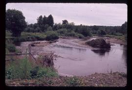
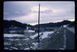
Image depicts Mud River, also known as the Chilako River, at Blackwater Road, Prince George, B.C.
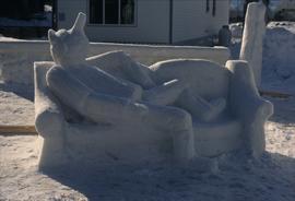
Image depicts a snow sculpture of the Mr. P.G. lounging on a couch, possibly during the Winter City Conference, in Prince George, B.C. Taken at the Prince George Civic Center. Map coordinates 53°54'45.6"N 122°44'59.6"W
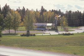
Image depicts Mr. P.G. and the Tourism Information site at the intersection of Highway 16 and 97. Map coordinates 53°53'46.5"N 122°46'00.7"W
File contains slides depicting logging and equipment. Most appear to be locations around Prince George.
Image depicts a view of the Millar Addition suburb in Prince George, B.C.
Image depicts part of the McMillan Creek Trail in the McMillan Regional Park in Prince George, B.C.
Image depicts part of the McMillan Regional Park in Prince George, B.C.
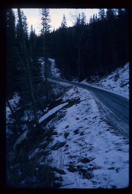
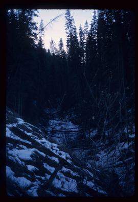
Image depicts the McMillan Creek from Northwood Pulpmill Road, in Prince George, B.C.
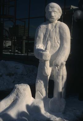
Image depicts a snow sculpture of a man with a shovel, possibly during the Winter City Conference, in Prince George, B.C. Taken at the Prince George Civic Center. Map coordinates 53°54'45.6"N 122°44'59.6"W
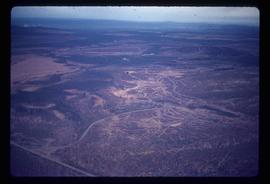
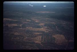
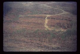
Image depicts an area undergoing logging somewhere in Prince George, B.C.
Image depicts a logging area somewhere near Prince George, B.C.
Image depicts a logging area somewhere near Prince George, B.C.
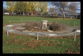
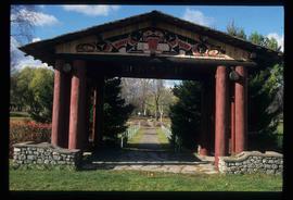
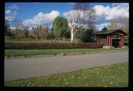
Image depicts the Lheidli T'enneh Burial Grounds in Fort George Park.
Image depicts the Lheidli T'enneh Burial Grounds in Fort George Park.
Image depicts the Lheidli T'enneh Burial Grounds in Fort George Park.
Image depicts the Lheidli T'enneh Burial Grounds in Fort George Park.
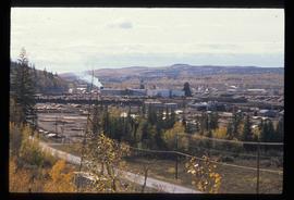
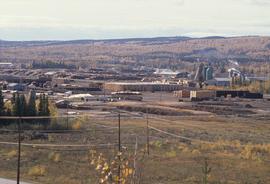
Image depicts the Lakeland Sawmill in Prince George, B.C, identified by the beehive burners; the one with white smoke belonged to Pas Lumber Co. which was bought out by Lakeland in 1987.
Image depicts the Lakeland Sawmill in Prince George, B.C.
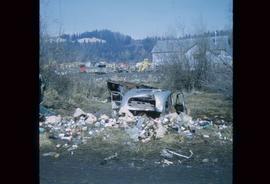
Image depicts a junk pile of bottles, cans and bags, as well as the gutted frame of an old car, at Island Cache.
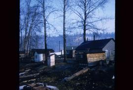
File contains slides depicting Island Cache on Cottonwood Island in Prince George, B.C.
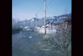
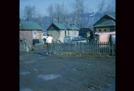
Image depicts numerous houses, and an unknown child standing in a street at Island Cache.
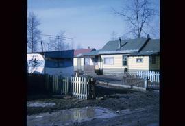
Image depicts a few houses in Island Cache.
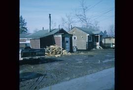
Image depicts a number of small houses at Island Cache.
Image depicts a few houses in Island Cache. There are two unknown individuals present.
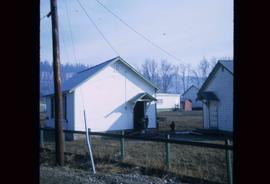
Image depicts a few houses and a dog on a porch at Island Cache.
Image depicts a number of small houses at Island Cache.
File contains slides depicting the opening of the Cottonwood Park section of the Heritage River Trails in Prince George, B.C.
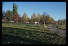
Image depicts a section of the Heritage Trail in Cottonwood Park.
File consists of records created and collected by Kent Sedgwick regarding the Heritage River Trails System and surrounding park areas in Prince George such as Cottonwood Island Park. Highlights include:
- Full page newspaper feature in The Citizen written by Kent Sedgwick that includes a detailed history of Cottonwood Island Park and the River Trails as well as a contest for naming the trail system (2 Nov. 1984)
- Graham Farstad, Director of Planning, City of Prince George, "Prince George's Heritage River Trail System" document, May 1986
- records relating to the dedication plaque for the opening of the trails
- "Heritage River Trails: A Guide to the Pathways along the Fraser and Nechako Rivers, Prince George, British Columbia" brochures created by Kent Sedgwick
- map on transparency depicting the Heritage River Trails System
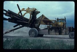
Image depicts a piece of heavy machinery lifting numerous logs. It is likely located in Prince George, B.C.
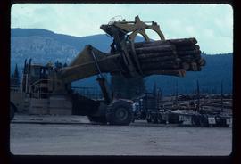
Image depicts a piece of heavy machinery lifting numerous logs off the back of a logging truck. It is likely located in Prince George, B.C.
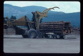
Image depicts a piece of heavy machinery lifting numerous logs off the back of a logging truck. It is likely located in Prince George, B.C.
Image depicts a house on Blackwater Road.
