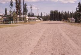
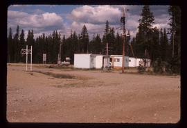
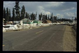
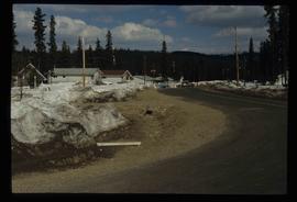
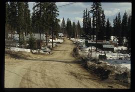
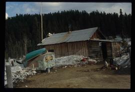
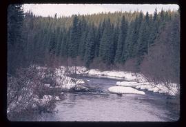
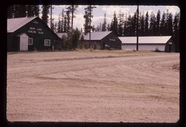
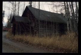
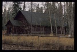
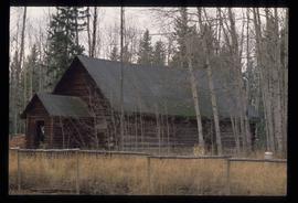
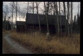
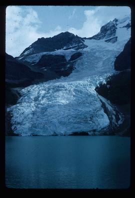
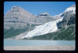
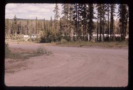
Mostrar 5139 resultados

Archival description
3026 resultados com objetos digitais Mostrar resultados com objetos digitais
Bear Lake
2012.13.1.4.06 · Item · Aug. 1976
Parte de J. Kent Sedgwick fonds

Image depicts a stand of trees in Bear Lake, B.C.

Bear Lake
2012.13.1.4.03 · Item · Aug. 1976
Parte de J. Kent Sedgwick fonds

Image depicts some houses in Bear Lake, B.C.

Bear Lake
2012.13.1.4.04 · Item · Aug. 1976
Parte de J. Kent Sedgwick fonds

Image depicts some trailers in Bear Lake, B.C.

Bear Lake
2012.13.1.4.35 · Item · [2000?]
Parte de J. Kent Sedgwick fonds

Image depicts some houses most likely in Bear Lake, B.C.

Bear Lake (?)
2012.13.1.4.36 · Item · [2000?]
Parte de J. Kent Sedgwick fonds

Image depicts some buildings along a dirt road, possibly near Bear Lake, B.C.

Bear Pass
2012.13.1.83.21 · Item · 1979
Parte de J. Kent Sedgwick fonds

Image depicts a view of Bear Pass, likely from Glacier Highway and somewhere in or near Bear Glacier Provincial Park, located north-east of Stewart, B.C.

Bear River?
2012.13.1.84.11 · Item · 1994
Parte de J. Kent Sedgwick fonds

Image depicts what is possibly Bear River in the Bear Glacier Provincial Park.

Bear River?
2012.13.1.84.10 · Item · 1994
Parte de J. Kent Sedgwick fonds

Image depicts what is possibly Bear River in the Bear Glacier Provincial Park.

Bear River?
2012.13.1.84.15 · Item · 1994
Parte de J. Kent Sedgwick fonds

Image depicts what is possibly Bear River in the Bear Glacier Provincial Park.

Bear Snow Sculpture
2012.13.1.3.147 · Item · Apr. 1999
Parte de J. Kent Sedgwick fonds

Image depicts a snow sculpture of a bear, possibly during the Winter City Conference, in Prince George, B.C. Taken at the Prince George Civic Center. Map coordinates 53°54'45.6"N 122°44'59.6"W

Bearman barn Newlands homestead
2012.13.2.17.23.02 · Item · 2001
Parte de J. Kent Sedgwick fonds

The item is a photograph depicting the derelict Bearman barn in Newlands. Annotation on reverse side of photograph states, "Bearman Barn, Newlands."

Beaverly Elementary School
2012.13.2.16.44 · Dossiê/Processo · 1987, 2001
Parte de J. Kent Sedgwick fonds

File consists of notes, reproductions, and typescript documents relating to Beaverly Elementary School. Includes: "Beaverly School" typescript letter from Kent Sedgwick to the Beaverly Community Association (30 Oct. 1987). Also includes photographs depicting the old weathered wooden Beaverly School building (Nov. 2001).

Becher's Prairie
2012.13.1.65.69 · Item · Aug. 1980
Parte de J. Kent Sedgwick fonds

Image depicts what appears to be a small ranch. The slide is labelled "Becher's Prairie," possibly meaning Becher's Prairie Provincial Park in B.C.

Bee Colony
2012.13.1.91.56 · Item · 1979
Parte de J. Kent Sedgwick fonds

Image depicts a man in a yellow cap who appears to be blowing smoke into a bee colony at a bee farm. It appears to be an educational demonstration.

Bee Hive Burner
2012.13.1.7.001 · Item · Oct. 1975
Parte de J. Kent Sedgwick fonds

Image depicts a bee-hive burner beside a rail-road track at an unidentified mill somewhere in Prince George, B.C.

Beehive Burner
2012.13.1.3.088 · Item · 12 Oct. 1989
Parte de J. Kent Sedgwick fonds

Image depicts a Beehive Burner along the Nechako on River Road. Map coordinates 53°55'34.1"N 122°44'58.0"W

Beehive Burner
2012.13.1.50.100 · Item · 1980
Parte de J. Kent Sedgwick fonds

Image depicts a beehive burner, as well as rail road tracks, at an unknown location.

Beehive Burner
2012.13.1.3.089 · Item · 12 Oct. 1989
Parte de J. Kent Sedgwick fonds

Image depicts a Beehive Burner along the Nechako on River Road. Map coordinates 53°55'34.1"N 122°44'58.0"W.

"Bella Coola, British Columbia" 1989 map
2012.13.6.51 · Dossiê/Processo · 1989
Parte de J. Kent Sedgwick fonds

Item is an original 1989 map depicting Bella Coola in British Columbia, published by the Department of Energy Mines and Resources in Ottawa, Canada. The map also includes Kent Sedgwick's travels in the Bella Coola area highlighted in red.

Bellos Road
2012.13.1.20.26 · Item · 2003
Parte de J. Kent Sedgwick fonds

Image depicts Bellos Road, most likely in Red Rock, B.C.

Bellos Road
2012.13.1.20.25 · Item · 2003
Parte de J. Kent Sedgwick fonds

Image depicts Bellos Road, most likely in Red Rock, B.C.

Ben Ginter's house
2012.13.3.1.53 · Dossiê/Processo · 1997-1998
Parte de J. Kent Sedgwick fonds

File consists of notes and reproductions relating to Ben Ginter's house. Ben Ginter was a Polish immigrant who grew up in rural Manitoba. He had owned a construction company and later bought the failing Cariboo Brewing. He opened Tartan Brewing in 1962. Ginter began innovating the brewing industry in British Columbia before dying of a heart attack in 1981. He was a controversial figure in Prince George. His house, which was where the now Ginter Park is, was the site of many legendary parties. File primarily consists of newspaper clippings and reproductions discussing the City of Prince George's decision to demolish the building and the controversy surrounding this decision. File also includes photographs depicting the interior and exterior of Ben Ginter's house prior to it being torn down (1997).

Berg Glacier
2012.13.1.56.41 · Item · 1973
Parte de J. Kent Sedgwick fonds

Image depicts the Berg Glacier at Berg Lake in the Mt. Robson Provincial Park.

Berg Glacier
2012.13.1.56.21 · Item · 1973
Parte de J. Kent Sedgwick fonds

Image depicts the Berg Glacier and Berg Lake near Mt. Robson.

Bethel Baptist Church, Prince George
2012.13.3.1.31 · Dossiê/Processo · 1986-2005
Parte de J. Kent Sedgwick fonds

File consists of notes, clippings, and reproductions relating to Bethel Baptist Church previously at 459 Cassiar Street near Fifth Avenue in Prince George.