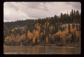
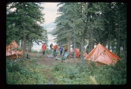
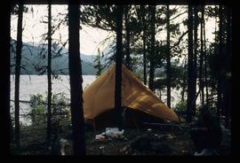
Image depicts the train station in Carcross, Y.T.
Image depicts Bennett Lake near Carcross, Y.T.
Image depicts a car on a dirt road leading through a forest.
Image depicts a view of the ridge above the Fraser River which forms the Grand Canyon, B.C.
Image depicts a church and several other buildings in Canoe Creek.
Image depicts a house located somewhere in or near Canoe Creek.
Image depicts a view of Canoe Creek.
Image depicts the BC Packers Ltd. cannery in Prince Rupert, B.C.
Image depicts the Canadian National Railway Yards in Prince George, B.C.
Image depicts numerous piles of wood planks at the Canadian National Railway Yards in Prince George, B.C. The cutbanks are seen in the background.
Image depicts a man at a campsite somewhere near Murray Ridge.
Image depicts Sue Sedgwick seated in a lawn chair near a campfire and several other unidentified individuals, as well as three dogs. The location is uncertain.
Image depicts Kent Sedgwick (the man with a pipe in green) and an unknown individual sitting around a campfire somewhere in South Tweedsmuir Provincial Park.
Image depicts numerous campers and other vehicles in Tumbler Ridge, B.C.
Image depicts a group of unknown individuals sitting around a camp fire at an uncertain location.
Image depicts a camp of people with Mt. Robson and the Berg Glacier in the background.
Image depicts a camp and what is likely Mt. Robson in the background.
Image depicts an unknown individual eating in a camp somewhere in South Tweedsmuir Provincial Park.
Image depicts a campsite somewhere near Berg Lake.
Image depicts group of people at a camp somewhere in Mt. Robson Provincial Park.
Image depicts a camp on the shore of a lake in South Tweedsmuir Provincial Park. The man sitting in the bottom right corner is possibly Kent Sedgwick.
Image depicts a group of individuals at camp somewhere in Mt. Robson Provincial Park.
Image depicts some cacti somewhere near Soda Creek, B.C.
Image depicts a nature trail along the Nechako River at Island Cache looking west with the cutbanks in the background. Map coordinates 53°55'36.2"N 122°45'11.8"W
Image depicts a cabin at an unknown location.
Image depicts a cabin somewhere in Mud River, B.C.
Image depicts a cabin at an uncertain location.
Image depicts a cabin somewhere in Mud River, B.C.
Image depicts a street of businesses, possibly 3rd Avenue, in Prince George, B.C.
Image depicts the welcome sign in Burns Lake, B.C.
Image depicts a street in Burns Lake, B.C.
Image depicts a stretch of road somewhere at Burns Lake, B.C.
Image depicts Burns Lake, B.C.
Image depicts bunkhouse, restaurant and store in Sinclair Mills, B.C. Map coordinates 54°01'17.4"N 121°40'53.0"W
Image depicts the upper end of the Bullion Pit in Likely, B.C.
Image depicts an old, half-collapsed house in Likely, B.C.. The slide labels it as "Bullion house."
Image depicts a bulldozer and truck in an unknown location.
Image depicts a stretch of road through the Bulkley Valley.
Image depicts a section of forest in the Bulkley Valley.
Image depicts a view of Bulkley Valley.
Image depicts the Bulkley River near Moricetown, B.C.
Image depicts numerous unknown individuals standing by the Bulkley River near Moricetown, B.C.