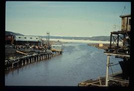
Image depicts mill site and dock in Giscome, B.C. with Eaglet Lake in the background covered in ice. There is a large crowd of people gathered near the dock. Map coordinates 54°04'34.9"N 122°21'50.0"W
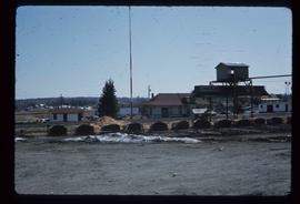
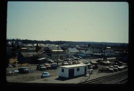
Image depicts the CN Station, with bundles of wood sitting near the tracks, in Giscome, B.C. Map coordinates 54°04'32.3"N 122°21'42.3"W
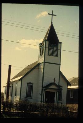
Image depicts a church in Giscome, B.C. Map coordinates 54°04'16.2"N 122°21'54.3"W
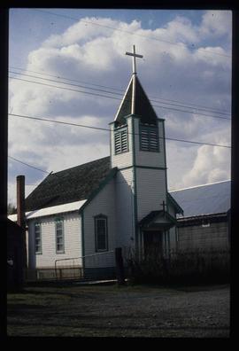
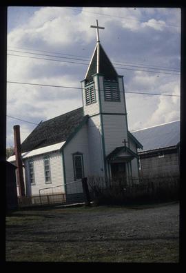
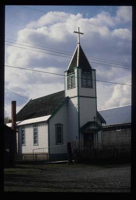
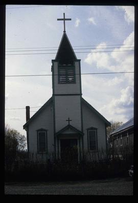
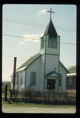
Image depicts a Catholic church in Giscome, B.C. Map coordinates 54°04'15.5"N 122°21'52.1"W
Image depicts a Catholic church in Giscome, B.C. Map coordinates 54°04'15.5"N 122°21'52.1"W
Image depicts a Catholic church in Giscome, B.C. Map coordinates 54°04'15.5"N 122°21'52.1"W
Image depicts a Catholic church in Giscome, B.C. Map coordinates 54°04'15.5"N 122°21'52.1"W
Image depicts a Catholic church in Giscome, B.C. Map coordinates 54°04'15.5"N 122°21'52.1"W
Image depicts the Giscome, B.C. town site with the Giscome railway station and the Giscome store in the center surrounded by vehicles. Map coordinates 54°04'18.5"N 122°21'57.7"W
Image depicts the former location of the Giscome mill foreman's house on the hill with Eaglet Lake in the background. Map coordinates 54°04'28.0"N 122°22'05.8"W
Image depicts the former location of employee houses on mill site in Giscome, B.C. Map coordinates 54°04'23.4"N 122°22'16.9"W
Image depicts employee houses on mill site in Giscome, B.C. Tug boats are in the foreground on the right. Map coordinates 54°04'23.4"N 122°22'16.9"W
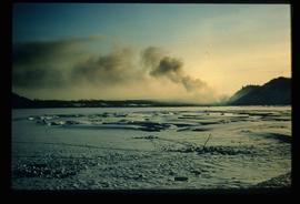
Image depicts Eaglet Lake in the winter taken from Giscome, B.C. Map coordinates 54°04'20.9"N 122°21'53.1"W
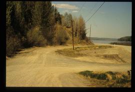
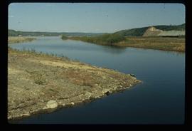
Image depicts the creek flowing into Eaglet Lake. A grey area of hill on the right side of the image appears to be the Giscome Quarry. Map coordinates 54°04'26.2"N 122°22'04.3"W
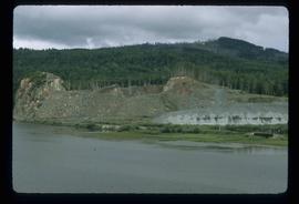
Image depicts the site of Giscome's first quarry, with Eaglet Lake located in the foreground.
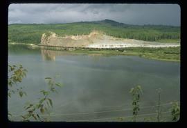
Image depicts the site of Giscome's first quarry, with a train passing by and Eaglet Lake located in the foreground.
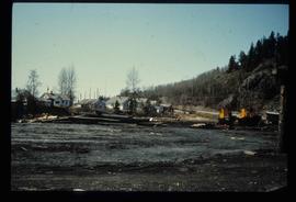
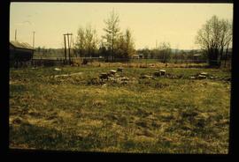
Image depicts debris left in residential area on Giscome, B.C. townsite. Map coordinates 54°04'16.7"N 122°21'55.1"W
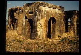
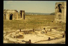
Image depicts several unidentified concrete structures that are badly damaged and cracking, located on old mill site in Giscome, B.C. Map coordinates 54°04'18.0"N 122°22'04.7"W
Image depicts several unidentified concrete structures that are badly damaged and cracking, located on old mill site in Giscome, B.C. Map coordinates 54°04'18.0"N 122°22'04.7"W
