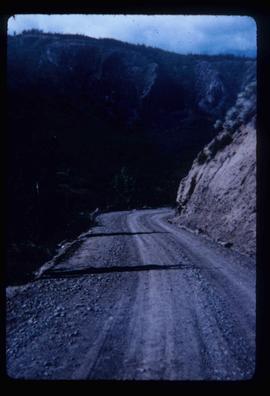
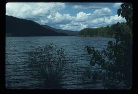
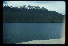
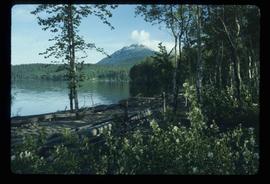
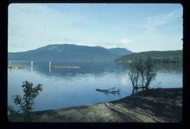
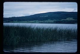
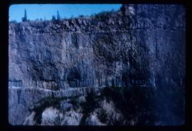
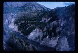
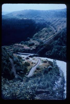
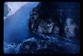
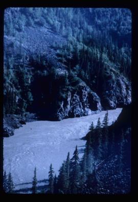
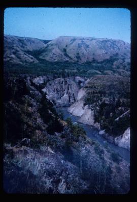
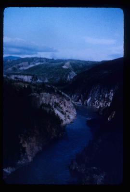
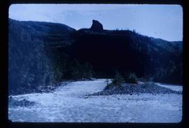
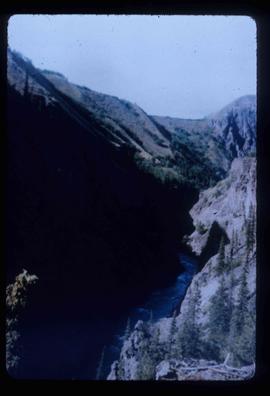
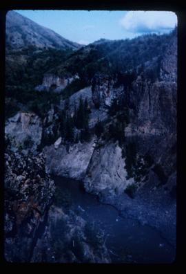
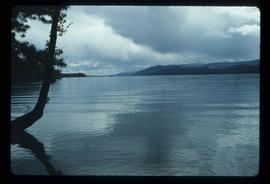
Image depicts the Terzaghi Dam on the Bridge River, looking from the upstream (reservoir) side located near Bralorne, B.C. The water is Carpenter Lake.
Image depicts the Terzaghi Dam viewed from the downstream side near Bralorne B.C.
Image depicts a rail road bridge located somewhere near Terrace, B.C.
Image depicts a view of Terrace, B.C.
Image depicts several orange and blue tents, possibly somewhere near Riske Creek, B.C.
Image depicts a view of a lake that is near Telkwa, B.C. The slide is labelled as "Telkwa - McClure Lake," though it is possibly Tyhee Lake.
Image depicts two bridges in Telkwa, B.C. One is for trains.
Image depicts the Telkwa river in Telkwa, B.C.
Image depicts a man with the wire for the telegraph trail in an uncertain location.
Image depicts a field along Telegraph Road, south-west of Vanderhoof, B.C.
Image depicts Telegraph Road, south-west of Vanderhoof, B.C.
Image depicts the Telegraph Creek Road, as well as the Creek itself.
Image depicts Telegraph Creek Road.
Image depicts the Telegraph Creek.
Image depicts a cliff face near Telegraph Creek.
Image depicts a bridge over Telegraph Creek.
Image depicts the Telegraph Creek.
Image depicts an old telegraph cabin at Cheslatta, B.C.
Image depicts what appears to be a teepee at an uncertain location.
Image depicts a man, possibly Ted Faulkner, looking at a creek.
Image depicts a tall pine tree somewhere on Haida Gwaii.
Image depicts the government houses located at the Takla Landing.
Image depicts Takla Lake west of Leo Creek.
Image depicts a lake with a mountain in the distance, viewed "west from lodge;" it is possibly Takla Lake.
Image depicts a lake, viewed "west from lodge;" it is possibly Takla Lake.
Image depicts a cabin on the "west arm" of Takla Lake.
Image depicts a lake viewed "south-east from lodge;" it is possibly Takla Lake.
Image depicts a view of Takla Lake from a cabin on the "west arm."
Image depicts two cabins on the shore near the lodge at Takla Lake.
Image depicts a view of Tabor Mountain in Prince George, B.C.
Image depicts a forest of dead trees on the slopes of Tabor Mountain in Prince George, B.C.
Image depicts a view of the area around Tabor Mountain in Prince George, B.C.