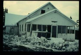
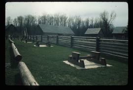
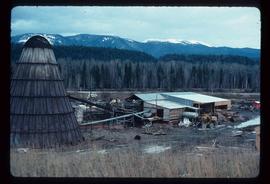
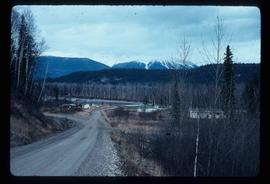
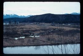
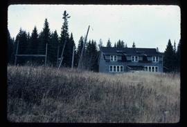
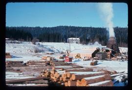
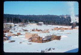
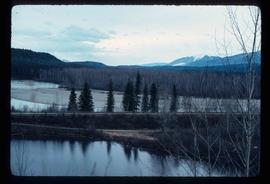
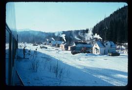
Image depicts a cookhouse at Sinclair Mills, B.C.
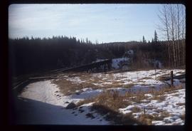
Image depicts a rail road bridge, possibly the Cottonwood Bridge, at an uncertain location.
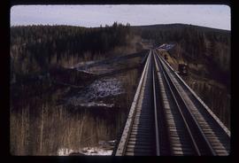
Image depicts the Cottonwood Bridge.
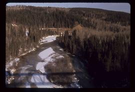
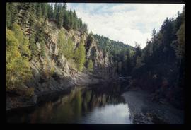
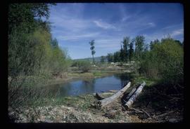
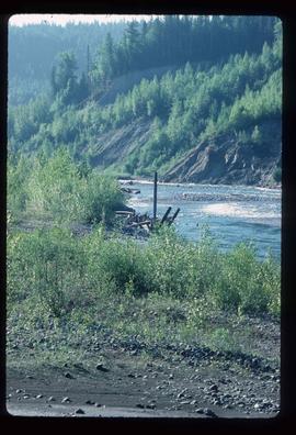
Image depicts a view of a river from the Cottonwood Bridge.
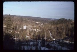
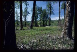
Image depicts a forest; the image is possibly taken from somewhere near the Cottonwood Rail Road Bridge.
Image depicts the Cottonwood Canyon.
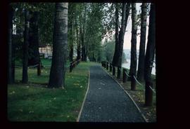
Image depicts a section of the Heritage Trail on Cottonwood Island in Prince George, B.C.
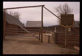
Image depicts the Cottonwood House Historic Site along Barkerville Highway, east of Quesnel, B.C. A sign posted by the fence reads: "For over half a century the Boyd family operated this haven for man and beast. Here weary travellers found lodging, food, and drink. Here fresh horses were hitched to stage-coaches and miners bought supplies. This historic road-house, built in 1864, stood as an oasis of civilization on the frontier of a rich new land."
Image depicts the picnic site of the Cottonwood House Historic Site, located on the Barkerville Highway, east of Quesnel, B.C.
Image depicts Cottonwood Island.
File consists of notes and reproductions relating to Cottonwood Island in Prince George, formerly named Island Cache and Foley's Cache. Includes: "A brief history of Cottonwood Island Park" typed document by Kent Sedgwick (Nov. 2009).
File contains slides depicting Cottonwood Island in Prince George, B.C.
Image depicts Cottonwood Island.
File consists of clippings, notes, and reproductions relating to the history of Cottonwood Island in Prince George. Includes: "A brief history of cottonwood island" typed draft by Kent Sedgwick (Nov. 2009); "Cottonwood Island area suggestions for street names" typescript document by Kent Sedgwick for the Heritage Advisory Committee; and "Proposal for Cottonwood Island as a park reserve" typescript document by Kent Sedgwick (Aug. 1973). File also includes "Kent Sedgwick - Island Cache / Cottonwood Island" a CD-R containing photographs of the Cottonwood Island and Island Cache area (2009).
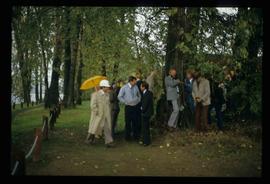
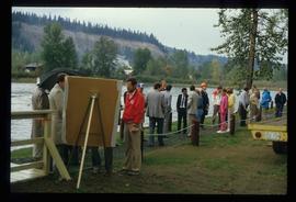
Image depicts a crowd of people in Cottonwood Park in Prince George, B.C.
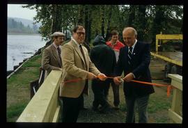
Image depicts Elmer Mercier, a former mayor of Prince George, B.C., cutting the ribbon to open Cottonwood Park's Heritage Trail.
Image depicts a the Cottonwood Island Nature Park sign and map in Prince George, B.C.
Image depicts a the Cottonwood Island Nature Park sign and map in Prince George, B.C.
Item is an original orthophoto depicting Cranbrook hill's greenway and multi-use trail and was published by the Indistrial Forestry Service Ltd.
Image depicts a creek near Quesnelle Forks, B.C.
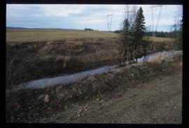
Image depicts a creek near Iron Road North, north of Woodpecker, B.C.
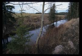
Image depicts a creek near Iron Road North, north of Woodpecker, B.C.
Image depicts a beehive burner in the community of Crescent Spur, B.C.
Image depicts the community of Crescent Spur, B.C.
Image depicts the community of Crescent Spur, B.C.
Image depicts a church school in the community of Crescent Spur, B.C.
Image depicts what appears to be a small mill in the community of Crescent Spur, B.C.
Image depicts what appears to be a small mill in the community of Crescent Spur, B.C.
Image depicts the railway running near Crescent Spur in the Rocky Mountain Trench.
Image depicts a row of houses and the side of a train in Crescent Spur, B.C.
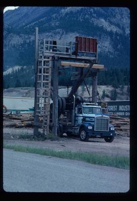
Image depicts a logging truck with its trailer being attached on top of it. A Crestbrook Forest Industries sawmill is located in the background.
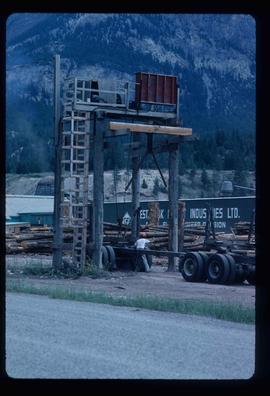
Image depicts a man attaching a logging trailer to a crane on a wooden structure to stack the trailer on the truck. A Crestbrook Forest Industries sawmill is located in the background.
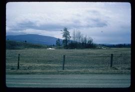
Image depicts a crevasse filling ridge somewhere in the Bulkley Valley, B.C.
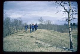
Image depicts a group of unidentified individuals walking along a crevasse filled ridge somewhere in the vicinity of Smithers, B.C. The slide also labels it as a "drift ridge."
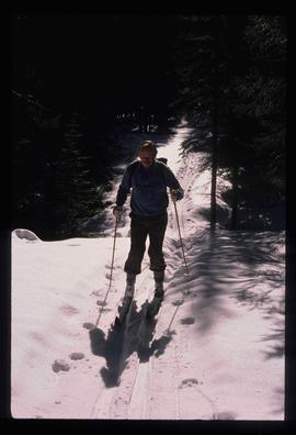
Image depicts an unidentified man cross country skiing somewhere on Tabor Mountain in Prince George, B.C.
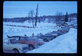
Image depicts a long line of people cross country skiing somewhere on Tabor Mountain in Prince George, B.C.
File consists of notes and reproductions relating to Kent Sedgwick's article, "Crossing the Divide: Northern Approaches to New Caledonia", which was published in vol. 12 of the Western Geography journal in 2002.
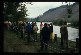
Image depicts a large crowd of people on a section of the Heritage Trail on Cottonwood Island in Prince George, B.C.
Image depicts a crowd of people on a section of the Heritage Trail on Cottonwood Island in Prince George, B.C.
Image depicts an area of cut trees at Island Cache.
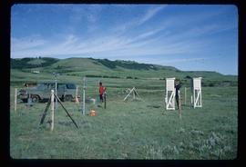
Image depicts two unidentified individuals and a van on a farm at an uncertain location, possibly a place called Cypress Hill, with an atmometer and a sunshine recorder.
Image depicts Danskin, B.C.
Image depicts light from an unidentified light-source shining on a long, vertical object of an uncertain nature, though it is possibly a tree. The rest of the image is too dark to make out.
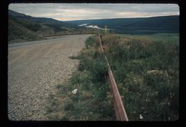
Image depicts a road with a guardrail and open fields somewhere near Dawson Creek, B.C.
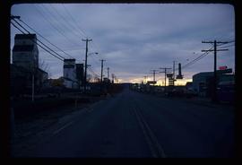
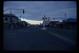
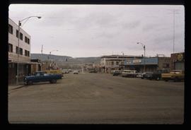
Image depicts a street of businesses in Dawson Creek, B.C.
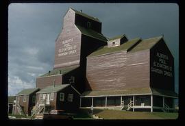
Image depicts a large building which is labelled "Alberta Pool Elevators Ltd. Dawson Creek," located in Dawson Creek, B.C.
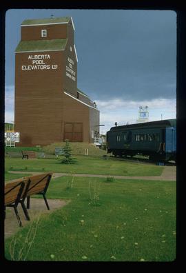
Image depicts a large building which is labelled "Alberta Pool Elevators Ltd. Dawson Creek," located in Dawson Creek, B.C.
Image depicts a street of businesses and Mile "0" of the Alaskan Highway in Dawson Creek, B.C.
Image depicts Mile "0" of the Alaskan Highway in Dawson Creek, B.C.
File contains slides depicting old geological maps of the Central Interior.
