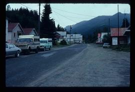
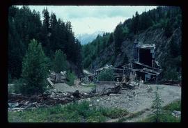
Image depicts a few boarded-up buildings in Bralorne, B.C.
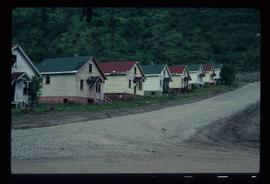
Image depicts a row of houses in Bralorne, B.C.
Image depicts a row of houses in Bralorne, B.C.
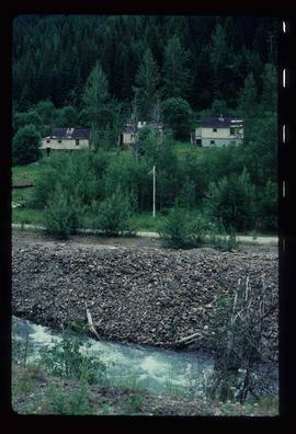
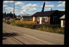
Image depicts several houses in Bralorne, B.C.
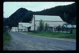
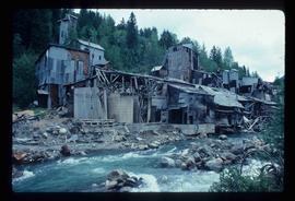
Image depicts what is possibly an old, rundown mill in Bralorne, B.C.
Image depicts what is possibly an old, rundown mill in Bralorne, B.C.
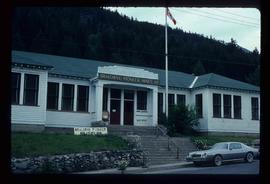
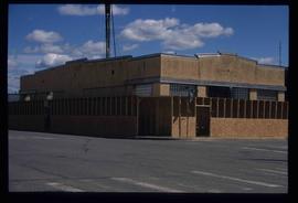
Image depicts the old sales office of Bralorne Pioneer Mines Ltd. which is now the Bralorne Pioneer Museum.
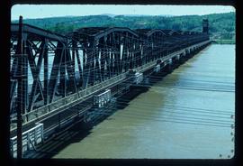
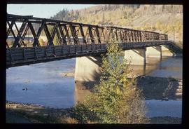
Image depicts a bridge in Prince George, B.C.
Image depicts a bridge in Prince George, B.C.
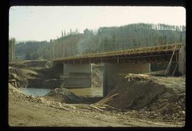
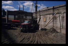
Image depicts a bridge under construction in Tumbler Ridge, B.C.
Image depicts a bridge in Prince George, B.C.
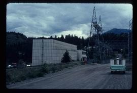
Image depicts the Bridge River No. 1 hydroelectric station on the shore of Seton Lake (rear side of powerhouse).
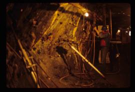
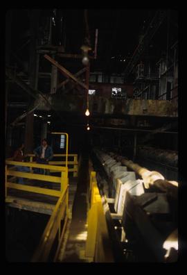
Image depicts the inside of a mine with an unknown individual present. It is possibly the inside of the closed Britannia Mine.
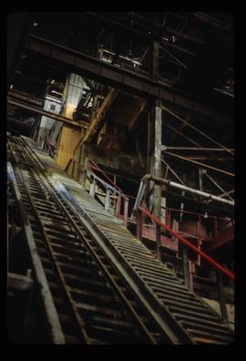
Image depicts a conveyor belt, possibly located inside one of the old buildings at what is possibly the closed Britannia Mine.
Image depicts a piece of industrial machinery, possibly located at the closed Britannia Mine. Two unknown individuals are also present in the image.
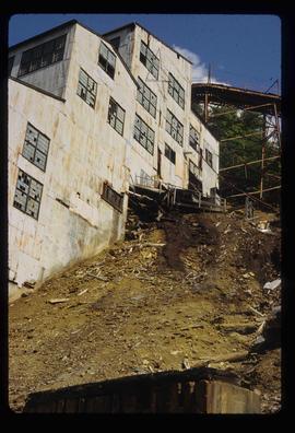
Image depicts an old building, possibly located at the closed Britannia Mine.
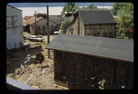
Image depicts a number of old buildings, possibly located at the closed Britannia Mine.
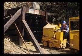
Image depicts the entrance to a mine with an unknown individual present. It is possibly the entrance to the closed Britannia Mine in the Howe Sound Region.
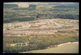
Image depicts an aerial view of the BC Rail, in Prince George, B.C. It is now known as CN Rail.
The photograph depicts a brown house in a forest outside of Finmoore, B.C. There is plastic pink flamingo in the yard. The photograph is taken in the autumn. Annotation on reverse side of photograph states, "Finmoore fall 2009."
Photograph depicts Buchanan Benson Real Estate and Insurance at 1276 4th Avenue.
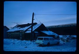
Image depicts a vehicle parked beside a small, wooden house in Upper Fraser, B.C. Map coordinates 54°07'05.7"N 121°56'38.9"W
The item is a photograph depicting a residential duplex house off the Cariboo Highway. It is one of three buildings that were relocated for the airport in 1957.
The item is a photograph depicting a residential duplex house off the Cariboo Highway. It is one of three buildings that were relocated for the airport in 1957.
The item is a photograph depicting a residential duplex house off the Cariboo Highway. It is one of three buildings that were relocated for the airport in 1957
The item is a photograph depicting a residential duplex house off the Cariboo Highway.
The item is a photograph depicting a residential duplex house off the Cariboo Highway.
The item is a photograph depicting a residential duplex house off the Cariboo Highway.
The item is a 35 mm photograph depicting a stucco duplex on the Cariboo Highway.
The item is a photograph depicting a residential duplex house off the Cariboo Highway. It is one of three buildings that were relocated for the airport in 1957.
The item is a photograph depicting a white residential house off the Cariboo Highway.
The item is a 35 mm photograph depicting a stucco duplex on the Cariboo Highway.
The item is a photograph depicting a residential duplex house off the Cariboo Highway. It is one of three buildings that were relocated for the airport in 1957.
The item is a photograph depicting a residential duplex house off the Cariboo Highway.
The item is a 35 mm photograph depicting a stucco duplex on the Cariboo Highway.
The item is a photograph depicting a residential duplex house off the Cariboo Highway.
The item is a 35 mm slide photograph depicting a residential duplex house off the Cariboo Highway. It is one of three buildings that were relocated for the airport in 1957.
The item is a 35 mm photograph depicting a stucco duplex on the Cariboo Highway.
Image depicts an unknown building under construction at the corner of 6th Avenue and Dominion Street in Prince George, B.C.
Image depicts an unknown building under construction at the corner of 6th Avenue and Dominion Street in Prince George, B.C.
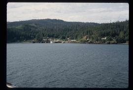
Image depicts numerous buildings and a dock on the shore of Haida Gwaii, B.C..
The photograph depicts three buildings, white, beige, and blue at the Prince George airport. Annotations on the photograph describe the buildings as, "RCMP, airport terminal building, [and] small arms building."
The photograph depicts two buildings, one beige, the other white, at the Prince George airport.
The photograph depicts three buildings, white, beige, and blue at the Prince George airport.
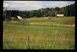
Image depicts several old buildings in a field, one of which has a caved-in roof, in Newlands, B.C. Map coordinates 54°06'28.2"N 122°12'01.0"W
Image depicts a row of buildings in Upper Fraser, B.C. with the store (titled "Paradise") with a Pepsi sign. Map coordinates 54°07'09.1"N 121°56'47.0"W
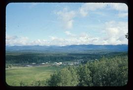
Image depicts a view of Bulkley Valley.
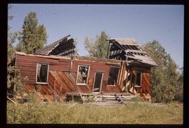
Image depicts an old, half-collapsed house in Likely, B.C.. The slide labels it as "Bullion house."
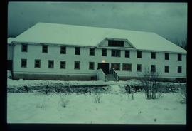
Image depicts bunkhouse, restaurant and store in Sinclair Mills, B.C. Map coordinates 54°01'17.4"N 121°40'53.0"W
The item is a photograph that depicts three veteran houses on Burden Street. Houses include beige siding, beige stucco and a white siding house.
