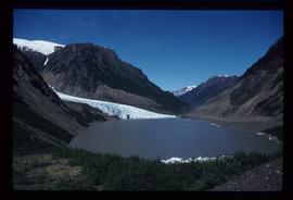
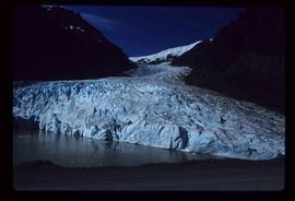
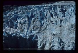
2012.13.1.84.10
·
Item
·
1994
Parte de J. Kent Sedgwick fonds
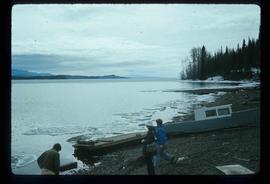
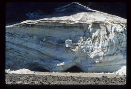
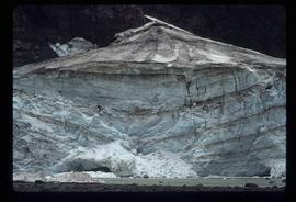
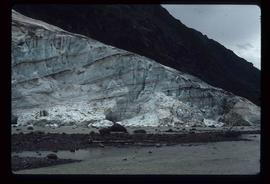
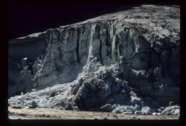
Image depicts what is possibly Bear River in the Bear Glacier Provincial Park.