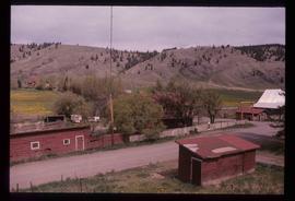
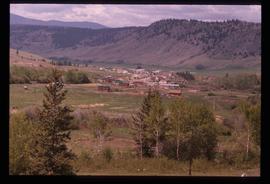
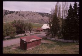
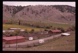
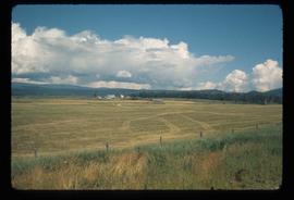
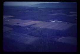
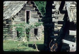
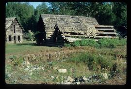
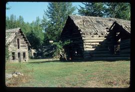
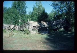
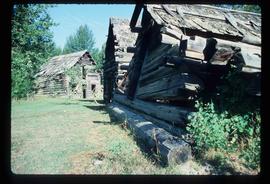
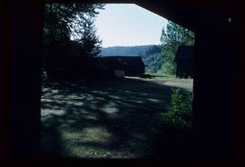
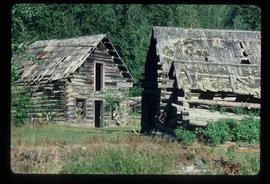
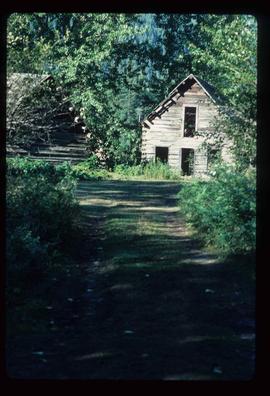
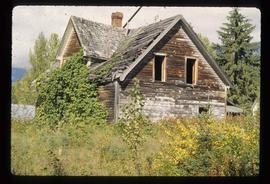
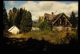
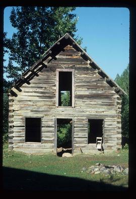
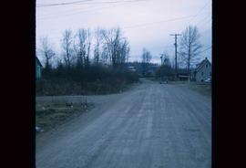
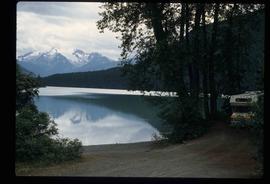
Image depicts the Alkali Lake Ranch in Alkali Lake, B.C.
Image depicts the Alkali Lake Ranch in Alkali Lake, B.C.
Image depicts the Alkali Lake Ranch in Alkali Lake, B.C.
Image depicts the Alkali Lake Ranch in Alkali Lake, B.C.
Image depicts some farmland near Alexandria, B.C.
File consists of typed documents, letters, and reports relating to the Alexander Mackenzie voyageur route near Vanderhoof. Includes: "Nuxalk-Carrier Grease Trail / Alexander Mackenzie Voyageur route" management plan annual report from the Vanderhoof Forest District (Jan.-Dec. 1994) and "RE: Alexander Mackenzie Heritage Trail" letter to the regional managers of the Prince George Forest Region and Cariboo Forest Region and the Director of the Archaeology Branch from Greg Nicoholls, the chair of the Alexander Mackenzie Heritage Trail Coordinating Committee (19 Apr. 1995).
File consists of bound documents, plans, and reproductions. Includes: "Public input summary" spiral bound book from Parks Canada (Dec. 1985) and "Alexander Mackenzie Heritage Trail" bound book published by Parks Canada (17 July 1985).
File consists of a booklet titled "Alexander Mackenzie Heritage Trail Master Development Plan" prepared by Parks Canada.
File consists of a spiral bound booklet titled "Alexander Mackenzie Heritage Trail Management Plan" prepared by the Province of British Columbia.
File consists of a spiral bound booklet titled "Alexander Mackenzie Heritage Trail Draft Management Plan" prepared by the Province of British Columbia.
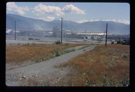
Image depicts the Alcan smelter in Kitimat, B.C.
Image depicts a small section of the Alaska Highway somewhere near Whitehorse, Y.T. The slide also appears to be labelled "army washing" for unknown reasons.
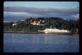
Image depicts the ferry to Alaska in the port of Prince Rupert, B.C.
File contains slides depicting New and Old Aiyansh, as well as the Tseax Lava Flow.
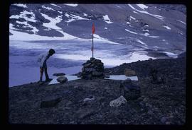
Image depicts a marker for aerial photography at an uncertain location. The slide labels it as "Elizabeth Station."
File consists of notes, clippings, and reproductions relating to historical agriculture in Prince George. Includes material on the Prince George Farmer's Institute; experimental plots surrounding Prince George; farming in areas surrounding Prince George including Pineview, Mud River, and Blackburn; ranching; gardening; and the Prince George Experimental Farm. Includes: "Moose in British Columbia, Canada" an educational pamphlet from the Fish and Wildlife Branch of the Department of Recreation and Conservation in British Columbia.
Image depicts an agricultural field, most likely near Prince George, B.C.
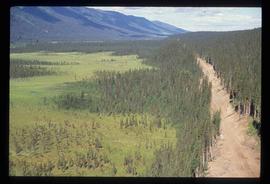
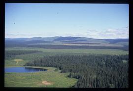
Image depicts an aerial view of a forest somewhere in the area of Divide Lake.
Image depicts an aerial view of a forest somewhere in the area of Divide Lake.
Image depicts an aerial view of a forest somewhere in the area of Divide Lake.
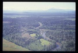
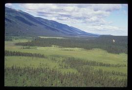
Image depicts an aerial view of the land in the area of Divide Lake.
File contains slides depicting various places located across Canada.
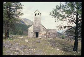
Image depicts an old and abandoned, collapsing church at an uncertain location.
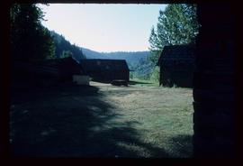
Image depicts several abandoned and collapsing cabins in Quesnelle Forks, B.C.
Image depicts several abandoned and collapsing cabins in Quesnelle Forks, B.C.
Image depicts several abandoned and collapsing cabins in Quesnelle Forks, B.C.
Image depicts several abandoned and collapsing cabins in Quesnelle Forks, B.C.
Image depicts several abandoned and collapsing cabins in Quesnelle Forks, B.C.
Image depicts several abandoned and collapsing cabins in Quesnelle Forks, B.C.
Image depicts several abandoned and collapsing cabins in Quesnelle Forks, B.C.
Image depicts several abandoned and collapsing cabins in Quesnelle Forks, B.C.
Image depicts part of a path leading to some abandoned cabins in Quesnelle Forks, B.C.
Image depicts an old, abandoned cabin with ivy growing up the side. The location is uncertain.
Image depicts an old and abandoned cabin with ivy growing up the side. The location is uncertain.
Image depicts an abandoned cabin in Quesnelle Forks, B.C.
Image depicts a street in Island Cache.
Image depicts a street in Island Cache.
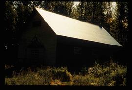
Image depicts what appears to be a shed at an uncertain location.
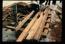
Image depicts a saw and numerous wooden boards at an uncertain location.
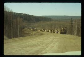
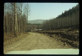
Image depicts a road somewhere in Tumbler Ridge, B.C. There are numerous construction vehicles present.
Image depicts a road somewhere in Tumbler Ridge, B.C. There are three bush planes in the image.
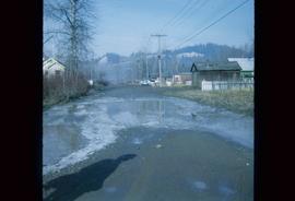
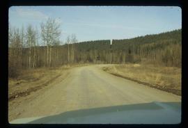
Image depicts a road somewhere in Tumbler Ridge, B.C.
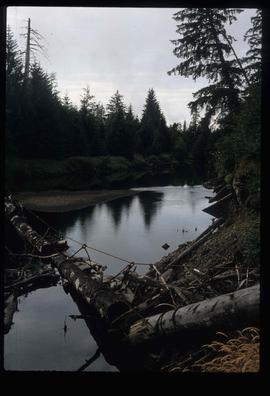
Image depicts what appears to be a type of log bridge crossing a river somewhere on Haida Gwaii.
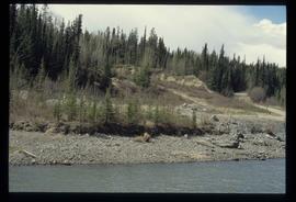
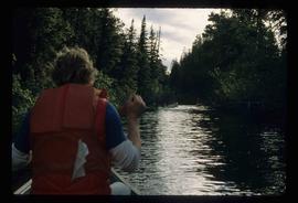
Image depicts a river in South Tweedsmuir Provincial Park. There is an unknown individual present in a canoe with the camera-man.
File consists of a spiral bound booklet titled "A Report on the Historic Fort Mcleod's History and Archaeological Potential" by William George Quackenbush for Simon Fraser University.
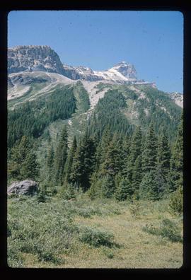
Image depicts a mountain peak, possibly Mt. Robson.
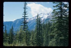
Image depicts a mountain, possibly Mt. Robson.
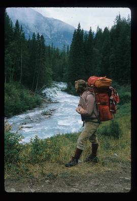
Image depicts a man on the hiking trail near Mt. Robson, with a river in the background; it is possibly the Robson River.
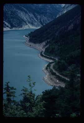
Image depicts an elevated view of a lake and a road located somewhere near Bralorne, B.C.
Image depicts what is possibly Melita Lake. The mountain in the background is possibly Tseax Cone, the volcano responsible for the existence of the Tseax lava flow.
