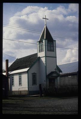
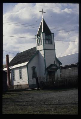
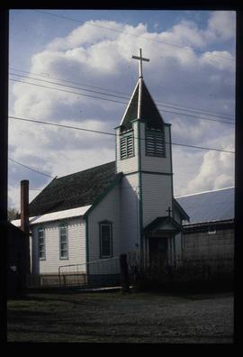
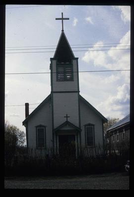
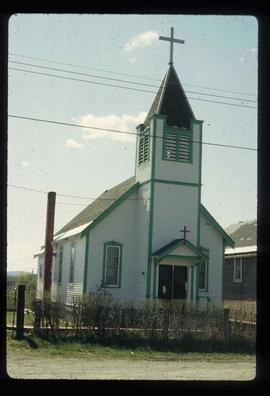
Image depicts a Catholic church in Giscome, B.C. Map coordinates 54°04'15.5"N 122°21'52.1"W
Image depicts a Catholic church in Giscome, B.C. Map coordinates 54°04'15.5"N 122°21'52.1"W
Image depicts a Catholic church in Giscome, B.C. Map coordinates 54°04'15.5"N 122°21'52.1"W
Image depicts a Catholic church in Giscome, B.C. Map coordinates 54°04'15.5"N 122°21'52.1"W
Image depicts a Catholic church in Giscome, B.C. Map coordinates 54°04'15.5"N 122°21'52.1"W
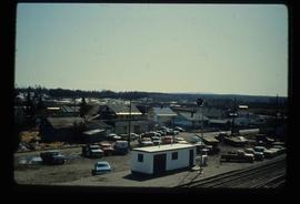
Image depicts the Giscome, B.C. town site with the Giscome railway station and the Giscome store in the center surrounded by vehicles. Map coordinates 54°04'18.5"N 122°21'57.7"W
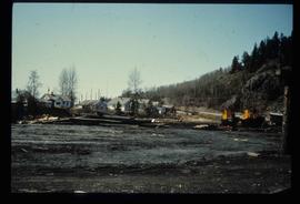
Image depicts employee houses on mill site in Giscome, B.C. Tug boats are in the foreground on the right. Map coordinates 54°04'23.4"N 122°22'16.9"W
File contains slides depicting places along the east line of the BC Railway.
File contains slides depicting places along the east line of the BC Railway. Some are duplicates of the images found in the "East Line, Dome Creek - Lamming Mills - Misc" file.
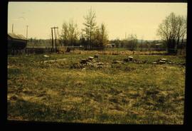
Image depicts debris left in residential area on Giscome, B.C. townsite. Map coordinates 54°04'16.7"N 122°21'55.1"W
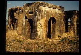
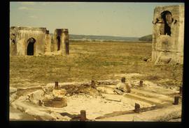
Image depicts several unidentified concrete structures that are badly damaged and cracking, located on old mill site in Giscome, B.C. Map coordinates 54°04'18.0"N 122°22'04.7"W
Image depicts several unidentified concrete structures that are badly damaged and cracking, located on old mill site in Giscome, B.C. Map coordinates 54°04'18.0"N 122°22'04.7"W
