2012.13.1.86.33
·
Pièce
·
[1979?]
Fait partie de J. Kent Sedgwick fonds
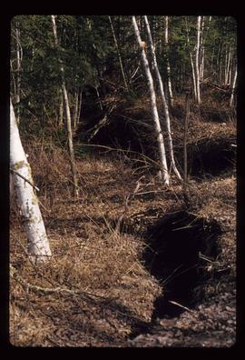
Image depicts what is possibly the CN Station in Dome Creek, B.C.