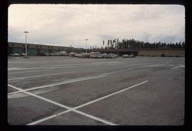
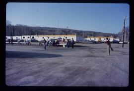
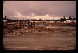
Image depicts numerous vehicles in the parking lot of a mall in Mackenzie, B.C.
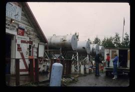
Image depicts a man and his family filling up their truck with gas at Manson Creek, B.C.
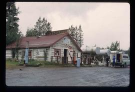
Image depicts the gas station at Manson Creek, B.C.
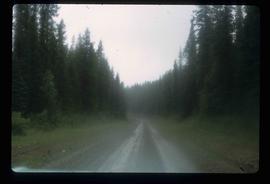
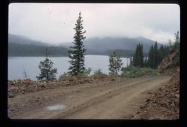
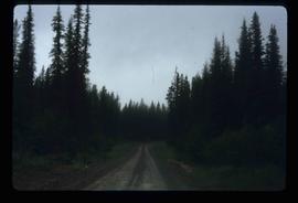
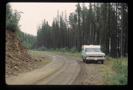
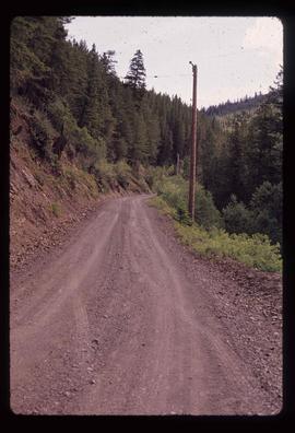
Image depicts the road to Manson Creek, B.C.
Image depicts the road to Manson Creek, B.C.
Image depicts the road to Manson Creek, B.C.
Image depicts the road to Manson Creek, B.C.
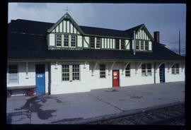
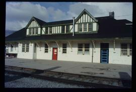
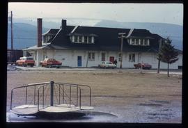
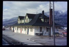
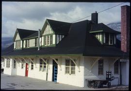
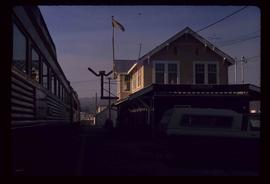
Image depicts the CN Station in McBride, B.C.
Image depicts the CN Station in McBride, B.C.
Image depicts the rear-end of the CN Station in McBride, B.C.
Image depicts the McBride CNR station.
Image depicts the McBride CNR station.
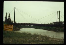
Image depicts a bridge over the McGregor River. A sign in the image reads: "Danger. The river is not navigable for any type of boat. Down stream falls and rapids impassible!"
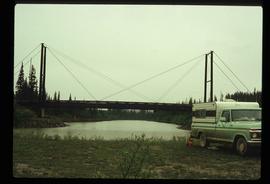
Image depicts a bridge over the McGregor River.
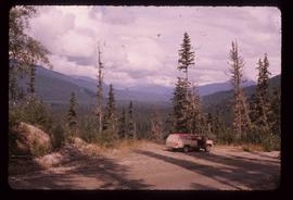
Image depicts a red vehicle parked on the side of the road with a view of the McGregor Valley behind it. The slide is labelled "dam site."
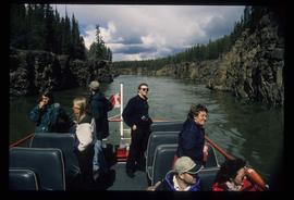
Image depicts several unidentified individuals on a boat in the Miles Canyon near Whitehorse Y.T.
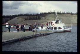
Image depicts numerous unidentified individuals getting off a boat which bears the name "Schwatka." It is located somewhere in Miles Canyon.
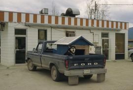
Image depicts a dog and dog house in the back of a pick-up somewhere near Prince George, B.C.
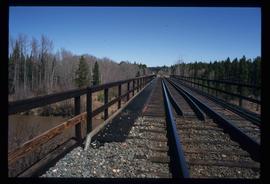
Image depicts a rail road bridge over the Mud River.
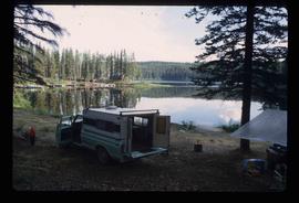
Image depicts a camper parked on the shore of Nation Lakes, south of Manson Creek, B.C.
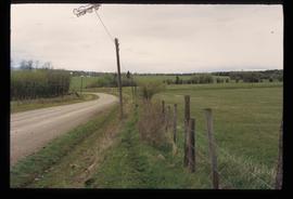
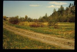
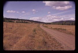
Image depicts a road and field somewhere near Grassy Plains, B.C.
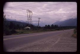
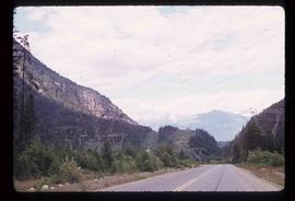
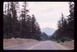
Image depicts Highway 99 near Pemberton, B.C.
Image depicts Highway 99 north of Squamish and near Pemberton, B.C.
Image depicts Highway 99 north of Squamish, near Pemberton, B.C.
Image decpicts the old road to the townsite in Giscome, B.C. Map coordinates 54°04'19.7"N 122°22'04.7"W
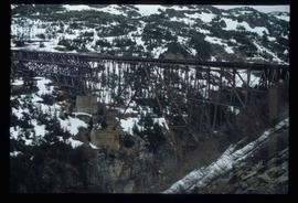
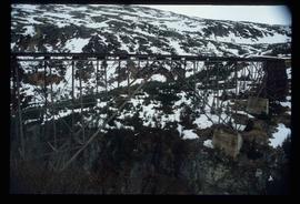
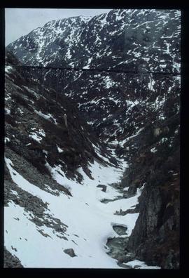
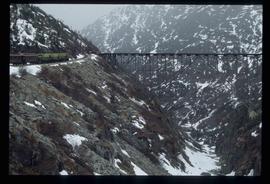
Image depicts an old trestle along the White Pass railway.
Image depicts an old trestle along the White Pass railway.
Image depicts an old trestle along the White Pass railway.
Image depicts an old trestle along the White Pass railway, and the White pass Train on the left of the image.
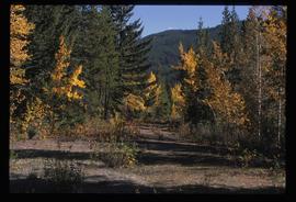
Image depicts an old road through the trees near Yellowhead Pass. The slide labels it as the origin of the Yellowhead highway.
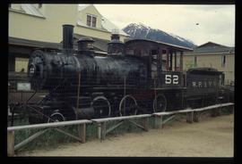
Image depicts the original steam engine for the White Pass Train, located in Skagway, Alaska.
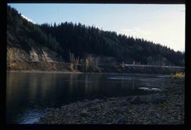
Image depicts the Fraser River at Paddlewheel park, with a train on the other side of the river, in Prince George B.C.
Image depicts the Fraser River at Paddlewheel park, with a train on the other side of the river, in Prince George B.C.
Image depicts a group of people throwing a frisbee in a parking lot at an uncertain location, likely in the Peace River Region.
Image depicts several eighteen wheelers at the Pass Lake Road and Upper Fraser Road intersection with numerous houses and buildings in the background in McGregor, B.C. Map coordinates 54°04'38.1"N 121°50'00.1"W
Image depicts the road to Pavilion Mountain.
Image depicts the road to Pavilion Mountain.
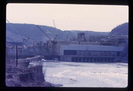
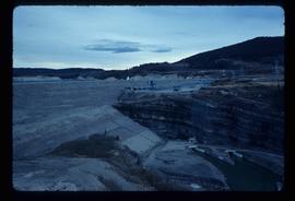
Image depicts the Peace Canyon Dam and generating station under construction on the Peace River.
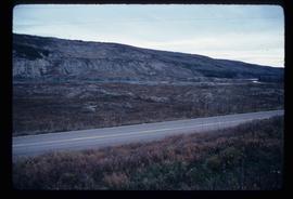
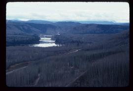
Image depicts what is possibly the Peace River running parallel to a road, possibly Highway 29.
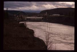
Image depicts a dam, possibly on the Peace River.
Image depicts a dam on what is possibly the Peace River.
Image depicts the W.A.C. Bennett Dam on the Peace River in Hudson's Hope, B.C.
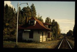
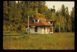
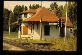
Image depicts the CN Station in Penny B.C.
Image depicts the CN Station in Penny B.C.
Image depicts the CN Station in Penny B.C. A woman, possibly Sue Sedgwick, is sitting against the outside wall.
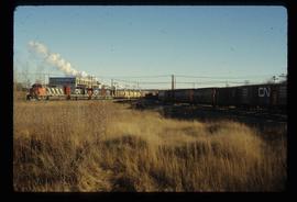
Image depicts two trains in Prince George, B.C.
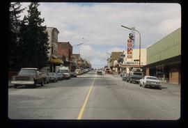
Image depicts the main street of Prince Rupert, B.C.
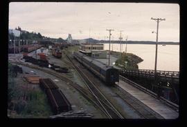
Image depicts the rail yards in Prince Rupert.
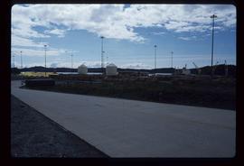
Image depicts a view of what is possibly a shipping yard in Prince Rupert, B.C. The slide is labelled "superport."
Image depicts the train station in Quesnel, B.C.
