The item is a photograph depicting sixteen UNBC students and professors walking in front of an old wooden building and weathered church. Students and professors are part of a research project in the Upper Fraser region.
The item is a photograph depicting four students eating lunch on a log. Students are Gail Foudahl, Tracy Summerville, Greg Halseth, and Anita Buljevic. Attached note with photograph states, "Student Anita Buljevic - Xmas 99, Gail Foudahl, Tracy Summerville, Greg Halseth."
The item is a photograph depicting UNBC students and professors walking away from the photographer. Students and professors are part of a research project in the Upper Fraser region.
The item is a photograph depicting nine UNBC students an old, weathered church. Students and professors are part of a research project in the Upper Fraser region.
The item is an exterior photograph of a stairwell in one of the outside courtyards at the University of Northern British Columbia, Prince George.
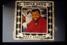
Image depicts an advertisement for an "Uncle Ben's Beer Malt Liquor" in the Willow River General Store. Map coordinates 54°04'23.7"N 122°28'26.9"W
The item is a photograph of a commercial building in Prince George. The canopy on the front of the building says, "United." The photograph of the building is at an angle, the majority of the photograph is the parking lot.
This item is a photograph of the backside of the United Way building in Prince George in 2006. The Coast Hotel can be seen in the background.
This item is a photograph of the United Way building on the corner of 7th Avenue and Quebec Street, Prince George. The Telus building can be seen in the background.
This item is a photograph of the United Way building on the corner of 7th Avenue and Quebec Street, Prince George. The Telus building can be seen in the background.
The item is a photograph negative depicting the back exterior of a beige townhome complex. There is snow on the townhome and ground with a wooden fence around the townhouse.
The item is a photograph negative depicting the back exterior of a beige townhome complex. There is snow on the townhome and ground with a wooden fence around the townhouse.
The item is a photograph depicting John Backhouse and another man unveiling a sign with information on L. C. Gunn.
The item is a photograph depicting John Backhouse and two men in suits unveiling the L. C. Gunn Park Heritage River Trails sign.
The item is a photograph depicting John Backhouse and two other men in suits unveiling the L. C. Gunn Park Heritage River Trails sign.
The item is a photograph of a group of people, including MP Frank Oberle and Alderman Monica Becott, at the unveiling of the Alexander Mackenzie monument at Fort George Park. The location is on Taylor Drive in Prince George.
The item is a photograph depicting a crowd of people and reporters at the unveiling of the Arrival of Steel monument at 772 1st Avenue, Prince George.
The item is a photograph depicting the unveiling of the Arrival of Steel monument at 772 1st Avenue, Prince George. The focus is on the crowd surrounding the monument. The photograph is taken from across the street. Tilden Truck Rentals can be seen in the background.
The item is a photograph depicting the unveiling of the Arrival of Steel monument at 772 1st Avenue, Prince George. The focus is on the crowd surrounding the monument.
The item is a photograph depicting the unveiling of the Arrival of Steel monument at 772 1st Avenue, Prince George. Ted Williams, Bryan Gardiner, Bruce Strachan and John Backhouse are standing in front of the monument with another woman.
The item is a photograph depicting the unveiling of the Arrival of Steel monument at 772 1st Avenue, Prince George. Ted Williams, Bryan Gardiner, Bruce Strachan and John Backhouse are standing in front of the monument with another woman. Annotation on the reverse side of the photograph states, "Ted Williams Bryan Gardiner MP Bruce Strachan MLA assistant? John Backhouse Mayor CN Rail."
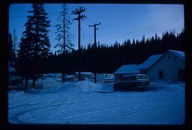
Image depicts a house in Upper Fraser with the residential area in the background. Map coordinates 54°07'02.8"N 121°56'37.5"W
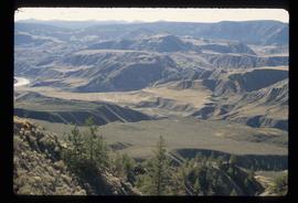
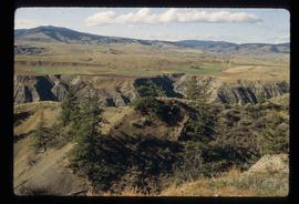
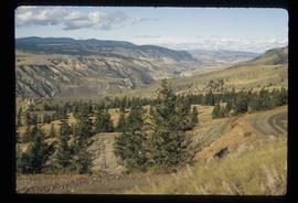
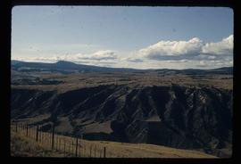
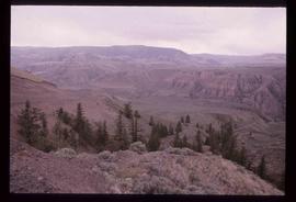
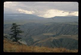
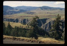
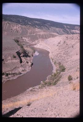
Image depicts a view of the Upper Fraser Canyon.
Image depicts a view of the upper Fraser Canyon.
Image depicts a view of the upper Fraser Canyon.
Image depicts a view of the upper Fraser Canyon.
Image depicts a view of the upper Fraser Canyon.
Image depicts a view of the Upper Fraser Canyon.
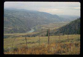
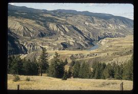
Image depicts a view of the upper Fraser Canyon. The Fraser River is visible on the left side of the image.
Image depicts a view of the upper Fraser Canyon. The Fraser River is visible on the left side of the image.
Image depicts a view of the upper Fraser Canyon.
Image depicts the Upper Fraser Canyon.
Image depicts a view of the eastern part of the upper Fraser Canyon.
Image depicts a view of the eastern part of the upper Fraser Canyon.
Image depicts the Fraser River passing through the upper Fraser Canyon.
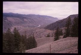
Image depicts a view of the Upper Fraser Canyon. The Fraser River is visible.
Image depicts the Fraser River running through the Upper Fraser Canyon.
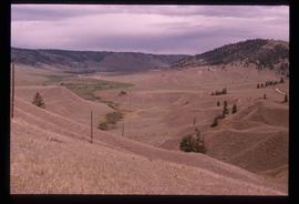
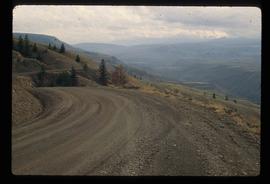
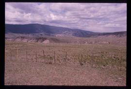
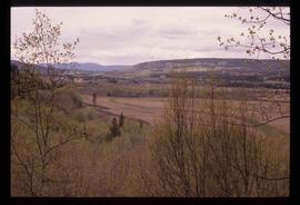
Image depicts a view of some of the scenery near the Upper Fraser Canyon.
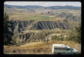
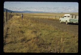
Image depicts an unknown woman on a road in the upper Fraser Canyon.
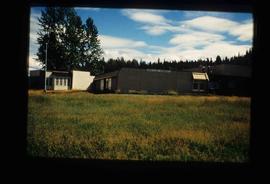
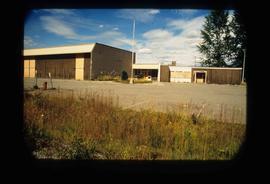
Image depicts Upper Fraser Elementary School, after closure of town site. Map coordinates 54°06'54.4"N 121°56'16.6"W
Image depicts Upper Fraser Elementary School, after closure of town site. Map coordinates 54°06'54.4"N 121°56'16.6"W
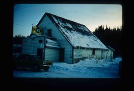
Image depicts the Upper Fraser General Store in Upper Fraser, B.C. Two other signs indicate that it is also a post office and a place that offers propane refills. Map coordinates 54°07'10.8"N 121°56'51.7"W
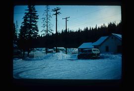
Image depicts several houses, likely in Upper Fraser, B.C.
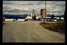
Image depicts entrance to mill yard for Upper Fraser mill in Upper Fraser, B.C. Map coordinates 54°07'10.8"N 121°56'51.7"W
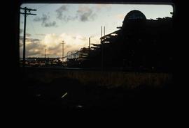
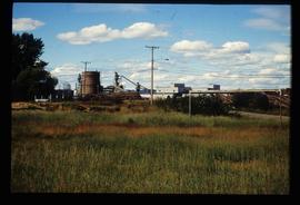
Image depicts Upper Fraser mill yard with log deck and beehive burner in silhouette across railroad tracks. Located in Upper Fraser, B.C. Map coordinates 54°07'01.5"N 121°56'29.6"W
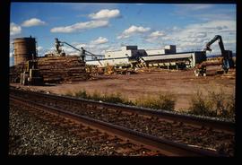
Image depicts numerous log decks at the Upper Fraser sawmill. Map coordinates 54°07'10.8"N 121°56'51.7"W
Image depicts the entrance to the Upper Fraser mill yard in Upper Fraser, B.C. Map coordinates 54°07'10.8"N 121°56'51.7"W
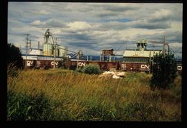
Image depicts the Upper Fraser mill yard with a CN train in Upper Fraser, B.C. Map coordinates 54°07'10.8"N 121°56'51.7"W
Image depicts the entrance to the Upper Fraser mill yard in Upper Fraser, B.C. Map coordinates 54°07'10.8"N 121°56'51.7"W
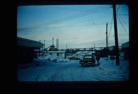
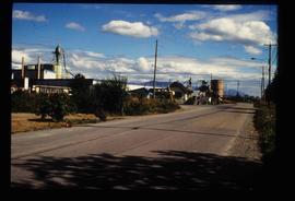
Image depicts the Upper Fraser Road running through Upper Fraser, B.C. A newer style round burner is seen in the background. Map coordinates 54°07'05.7"N 121°56'38.9"W
