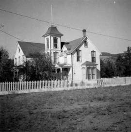
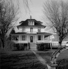
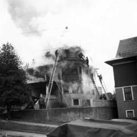
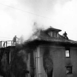
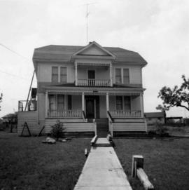
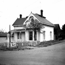
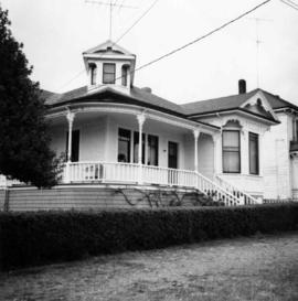
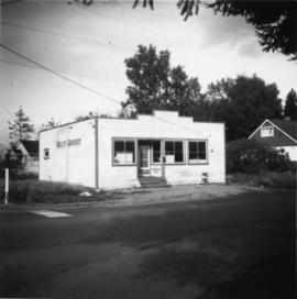
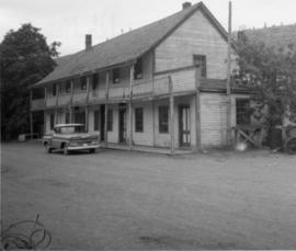
2013.6.36.1.072.27
·
Item
·
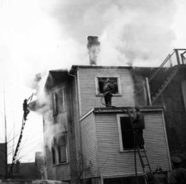
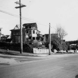
23 Nov. 1968
Part of David Davies Railway Collection
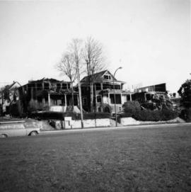
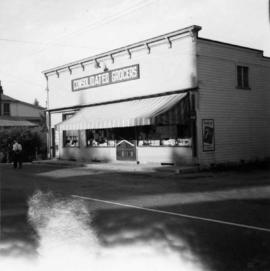
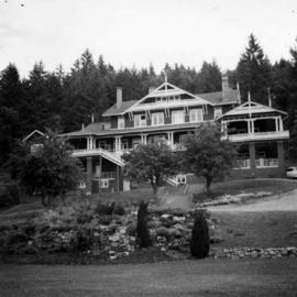
Photograph depicts one of the four houses on the corner of Barclay and Nicola. It was being demolished to make way for high rise apartments.