2013.6.36.1.079.17
·
Pièce
·
[2 May 1982]
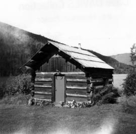
Fait partie de David Davies Railway Collection
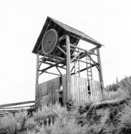
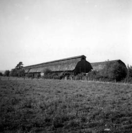
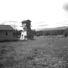
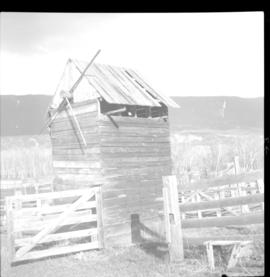
Photograph depicts a meat carcass windlass.