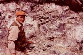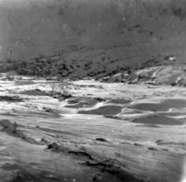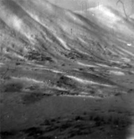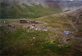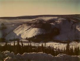
2000.1.1.1.06.04
·
Stuk
·
[1966?]
Part of Cassiar Asbestos Corporation Ltd. fonds
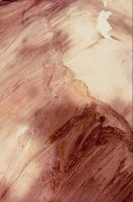
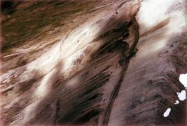
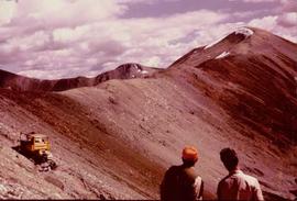
Photograph believed to have been taken near Kutcho Creek, BC during an outside exploration trip led by Cassiar's Chief Geologist Bill Plumb. Bill stands to left of man believed to be Matt Bell in right foreground. Bulldozer works along talus slope in left foreground.