2023.2.2.3.3.51
·
Item
·
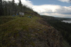
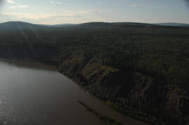
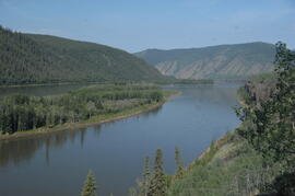
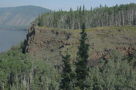
July 2004
Part of Dr. Paul Sanborn fonds
Elements area
Taxonomy
Code
Scope note(s)
- Land, water, minerals, forests, fisheries, soil, oil, and gas
- Energy (eg. hydroelectric, thermal, solar)
- Game management
- Individuals, industries, and businesses related to natural resources
- Regulatory and professional organizations
- SEE ALSO: Business and Commerce; Environment; Industries; Land, Settlement and Immigration
Source note(s)
- MemoryBC Subject Groups