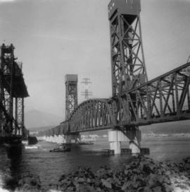
2013.6.36.1.009.65
·
Item
·
Oct. 1969
Part of David Davies Railway Collection
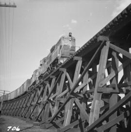
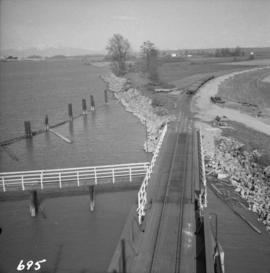
Photograph depicts the Canadian National Railway (CN) Second Narrows railway bridge in Vancouver harbour. It was completed and ready for traffic about May 1969. The view is looking north.