Colour-coded map dividing Northwestern British Columbia, the Western Northwest Territories, and the Yukon physiographically.
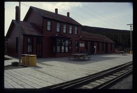
Image depicts the train station in Carcross, Y.T.
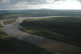
Image depicts the river which runs through Miles Canyon, located near Whitehorse Y.T.
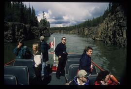
Image depicts several unidentified individuals on a boat in the Miles Canyon near Whitehorse Y.T.
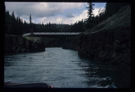
Image depicts the Robert Lowe Bridge, built in 1922, in the Miles Canyon near Whitehorse Y.T.
File contains slides depicting locations along the White Pass railway through Alaska, British Columbia, and the Yukon Territories.
File consists of records created and accumulated by Gary Runka over the course of his consultancy work for Department of Indian Affairs and Northern Development for the "Impact Analysis of Proposed Mining Road Access, Casino Trail" project in Carmacks, Yukon. This file was numbered as G.G. Runka Land Sense Ltd. client file #144; that client number may be seen referenced elsewhere in the G. Gary Runka fonds. The Land Sense Ltd. client files generally include records such as correspondence, contracts, invoices, project reports, publications, ephemera, memoranda, maps or map excerpts, legal documents, meeting materials, clippings, and handwritten notes.
Includes the following reports:
- Government of Yukon Department of Community and Transportation Services, "Proposed Casino Trail Route Location and Terrain Analysis Study", January 1986
- Casino Trail Project Advisory Committee, "Summary Report", Dec. 1985
- Spencer Environmental Management Services Ltd. for Indian and Northern Affairs Canada, "Socio-Economic/Environmental Overview for Proposed Casino Trail", December 1985.
Maps include:
- "Casino Trail Key Plan", Yukon Department of Community and Transportation Services, 17 Oct. 1985;
- Annotated section of NTS map "Snag, Yukon Territory";
- Annotated NTS map "Carmacks, Yukon Territory";
- Untitled Casino Trail area, Spencer Environmental Management Services Ltd. - 2 copies;
- "(2116) MacMillan River World Aeronautical Chart", Canada Department of Mines and Technical Surveys, 1965;
- Annotated combined duplicated copies of NTS maps for Snag and Carmacks, Yukon Territory;
- Untitled soil map for Casino Trail area, possibly by G.G. Runka Land Sense Ltd., n.d.;
- Copy of combined annotated NTS maps for Carmacks, Rowlinson Creek, and Mount Nansen, Yukon Territory showing soil types, possibly by G.G. Runka Land Sense Ltd.
During the 1980s, Agriculture Canada pedologists Scott Smith (retired from Summerland Research Station, formerly based in Whitehorse) and Charles Tarnocai (retired from Central Experimental Farm, Ottawa) had a large field program which addressed the trends in soil development in the central Yukon. Across this region, particularly between Whitehorse and Dawson City, the land surfaces and surficial deposits vary greatly in age due to the differing extents of glaciations over the past ~2 million years.
Tarnocai and Smith shared the unpublished data and soil samples from this work with Dr. Paul Sanborn, and this resulted in a student project published as:
Daviel, E., P. Sanborn, C. Tarnocai, and C.A.A. Smith. 2011. Clay mineralogy and chemical properties of argillic horizons in central Yukon paleosols. Canadian Journal of Soil Science 91: 83-93. https://doi.org/10.4141/cjss10067
This file consists of photocopies of lab data sheets for Tarnocai & Smith Yukon soil samples from the Land Resource Research Institute, Agriculture Canada.
These lab data sheets were transcribed into an Excel spreadsheet (see item 2023.2.2.6.3).
During the 1980s, Agriculture Canada pedologists Scott Smith (retired from Summerland Research Station, formerly based in Whitehorse) and Charles Tarnocai (retired from Central Experimental Farm, Ottawa) had a large field program which addressed the trends in soil development in the central Yukon. Across this region, particularly between Whitehorse and Dawson City, the land surfaces and surficial deposits vary greatly in age due to the differing extents of glaciations over the past ~2 million years.
Tarnocai and Smith shared the unpublished data and soil samples from this work with Dr. Paul Sanborn, and this resulted in a student project published as:
Daviel, E., P. Sanborn, C. Tarnocai, and C.A.A. Smith. 2011. Clay mineralogy and chemical properties of argillic horizons in central Yukon paleosols. Canadian Journal of Soil Science 91: 83-93. https://doi.org/10.4141/cjss10067
This data set consists of transcribed data from lab data sheets, showing McQuesten-Dawson City paleosol data from the Tarnocai and Smith 1983 AAFC Yukon Paleosol Study. The data set includes chemical and particle size data for Tarnocai & Smith samples, as determined by the Ag Canada lab. Note that the “Site” column indicates the NTS topographic map sheet (e.g. 115P/13) for the sampling locations.
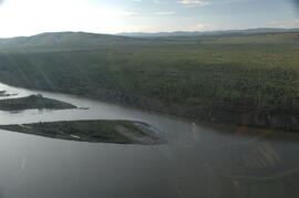
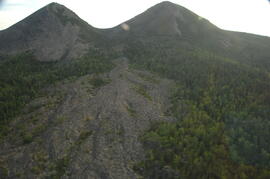
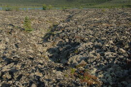
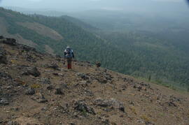
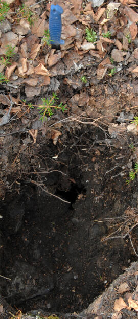
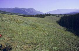
This image appears as Figure 2 in the publication:
Sanborn, P., 2010. Soil reconnaissance of the Fort Selkirk volcanic field, Yukon (115I/13 and 14).
In: Yukon Exploration and Geology 2009, K.E. MacFarlane, L.H. Weston and L.R. Blackburn
(eds.), Yukon Geological Survey, Whitehorse, Yukon. pp. 293-304.
https://emrlibrary.gov.yk.ca/ygs/yeg/2009/2009_p293-304.pdf
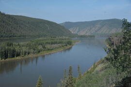
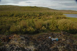
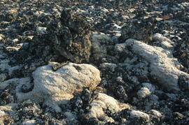
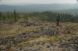
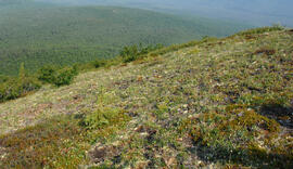
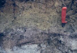
This image appears as Figure 4 in the publication:
Sanborn, P., 2010. Soil reconnaissance of the Fort Selkirk volcanic field, Yukon (115I/13 and 14).
In: Yukon Exploration and Geology 2009, K.E. MacFarlane, L.H. Weston and L.R. Blackburn
(eds.), Yukon Geological Survey, Whitehorse, Yukon. pp. 293-304. https://emrlibrary.gov.yk.ca/ygs/yeg/2009/2009_p293-304.pdf
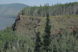
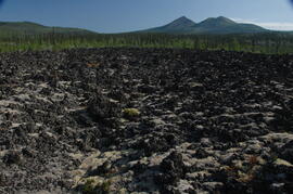
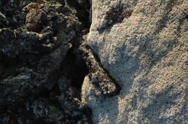
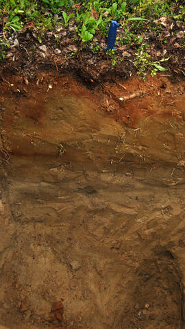
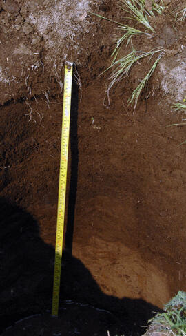
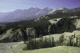
This image appears as Figure 9 in the publication:
Sanborn, P., 2010. Soil reconnaissance of the Fort Selkirk volcanic field, Yukon (115I/13 and 14).
In: Yukon Exploration and Geology 2009, K.E. MacFarlane, L.H. Weston and L.R. Blackburn
(eds.), Yukon Geological Survey, Whitehorse, Yukon. pp. 293-304. https://emrlibrary.gov.yk.ca/ygs/yeg/2009/2009_p293-304.pdf
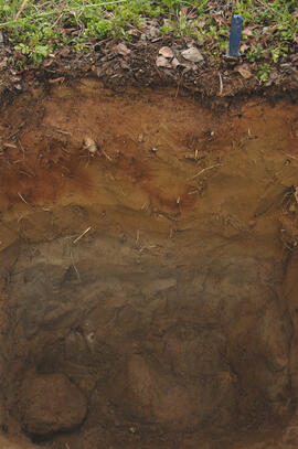
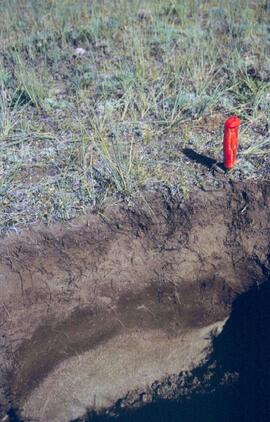
This PDF contains site location data and annotated soil profile photographs for soil charcoal samples at the Silver City section (site Y03-11).
File consists of the following data sets:
- Kluane crust Min N (2003) S671FINL.xls [mineralizable nitrogen for biological soil crusts & upper mineral soil, 2003 samples]
- Kluane Crust samples (2004) moisture contents.xls [moisture content of air-dry 2004 crust samples from Peninsula & Silver City sites; sampling procedures & locations in Marsh et al. (20060]
- Kluane Soil Crusts (2004) chemical analyses.xls [consolidated file of chemical data for 2004 crust samples from Peninsula & Silver City sites]
- Kluane 2003 soil & crust 15N data.xls [15N natural abundance, total N, organic & inorganic C for 2003 crust & upper mineral soil samples]
- Kluane 2003 soil data.xlsx [consolidated file of chemical data for 2003 crust and mineral horizon soil samples]
- Kluane Crust 2004 total C & N data.xls
- Kluane AMS dates (2003-2008 charcoal samples).xls [radiocarbon dates from the University of Arizona Accelerator Mass Spectrometry Lab]
- Kluane soil transect - texture data.xls [2009 soil particle size analysis data, with potential lithological breaks highlighted]
- Kluane surveys 2009.xls [topographic surveys for 3 soil transects cutting across eskers along Cultus Bay Rd., SE shore of Kluane L.]
- S1061_1069_Final_Rev1.xls [lab data report from Ministry of Forests Analytical Chemistry Laboratory for 2009 transect samples: total C, inorganic C, & total N]
- 100812003 (annotated) -corrected.xls [2009 transect samples: particle size analysis data report from CANTEST]
- Kluane soil transect - master data file.xls
