2012.13.1.3.100
·
Pièce
·
12 Oct. 1989
Fait partie de J. Kent Sedgwick fonds
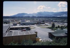
Image depicts the Fort George Regional Museum in Prince George, B.C. Map coordinates 53°54'18.6"N 122°44'09.8"W