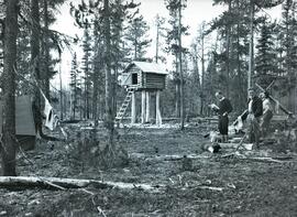
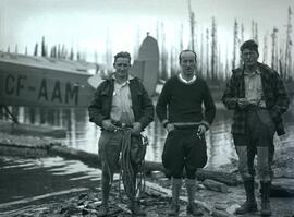
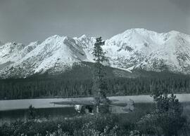
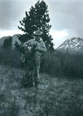
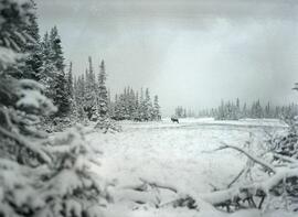
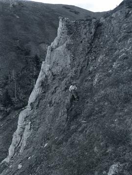
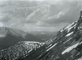
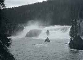
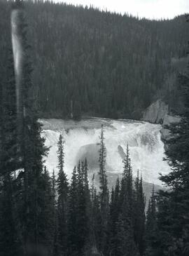
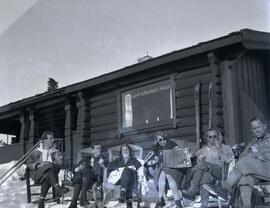
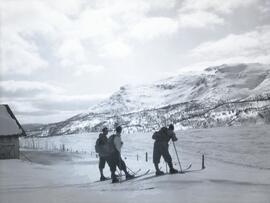
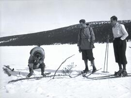
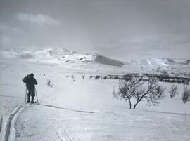
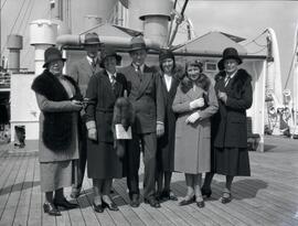
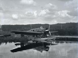
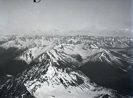
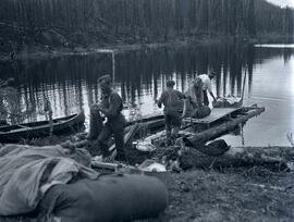
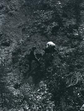
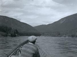
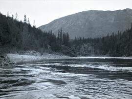
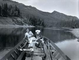
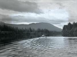
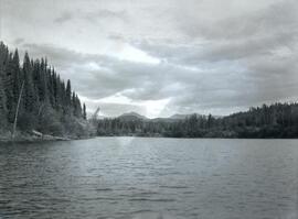
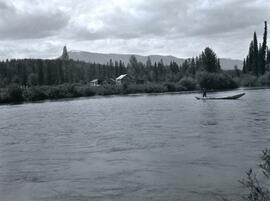
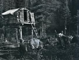
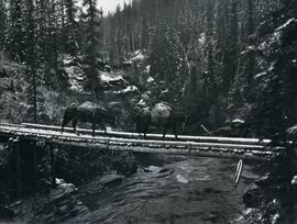
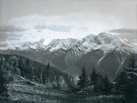
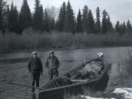
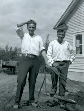
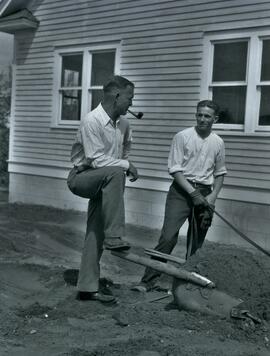
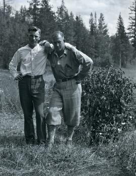
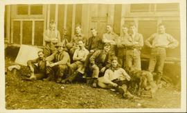
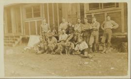
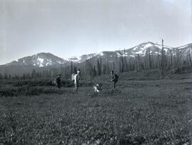
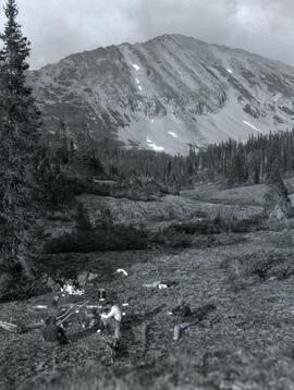
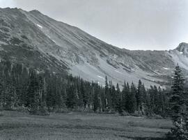
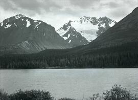
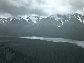
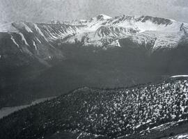
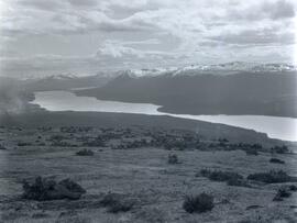
Photograph depicts a grass covered plateau overlooking a lake at the base of a snow covered mountain range.
Photograph depicts Bob Niven, Ken Dewar,and Henry Giegerich standing in their Consolidated Mining and Smelting Company of Canada Ltd. (CMS) camp at Sand Bay near Thutade Lake. Food cache visible at centre.
Photograph depicts Emil Bronlund's crew on the shore of Sand Bay in front of a CF-AAM float plane. From left to right: Bob Niven, mechanic; Ken Dewar, pilot; Henry Giegerich, geologist.
Photograph depicts a CF-AAM float plane stopped after a forced landing on Sustut Lake in front of Sentinel Peak.
Photograph depicts a man (Emil Bronlund) holding up a dead wolf standing in a grass covered landscape in front of a tree with a mountain in the far-right background.
Photograph depicts Sustut Lake with forested shoreline on the far edge of the lake and a snow-covered mountain range in the background.
Photograph depicts a wide view of Sustut Lake from the west with a heavily forested area on both sides of the lake with a snow-covered mountain range in the background.
Photograph depicts a man steering a wooden raft loaded with two bag through a shallow section of Finlay River that runs along a forested shoreline.
Photograph depicts a forested area in front of the base of the north side of Drybrough Mountain.
Photograph depicts a small caribou herd stopped in a snow covered clearing beside a forest a Drybrough Mountain.
Photograph depicts snow-capped mountain ranges with heavily forested area at the base of the mountains.
Photograph depicts a northwest aerial view from Sustut River of a snow-covered mountain range toward Thutade Lake.
Photograph depicts Henry Cleburn Giegerich and Emil Bronlund with Swannell's party posed in front of Jack Duncan's cabin near Thutade Lake.
Photograph depicts a man standing beside a discovery vein along a rocky cliff. The location is believed to be the east side of Duncan Mountain, east of the north end of Thutade Lake, some 140 miles northeast of Stewart. The Cairn group of 12 mining claims was located by Cominco Ltd. in 1931.
Photograph depicts a view of the southeast slope of Duncan Mountain near Thutade Lake.
Photograph depicts a wide waterfall (Finlay Falls) located above Thutade Lake with a forest in the background.
Photograph depicts a wide waterfall (Finlay Falls) seen through a tree covered landscape.
Photograph depicts four men and two women seated in front of a wooden cabin surrounded by snow in Gola, Norway.
Photograph depicts three men on skiis standing on snow-covered terrain in front of a mountain.
Photograph depicts three men taking a break from skiing to inspect a branch on the snow-covered terrain in Gola, Norway.
Photograph depicts a man skiing across a flat, snow-covered landscape in Gola, Norway.
Photograph depicts five women and two men standing on the deck of the SS Stavangerfjord, a Norwegian passenger ocean liner.
Photograph depicts a CF-ABK float plane on the water at Burns Lake. CF-ABK was a legendary bush plane nicknamed "Old Faithful". On the left of the photograph three men are resting on a pile of wood.
Photograph depicts a northwest aerial view from Sustut Pass of a snow-covered mountain range toward Thutade Lake.
Photograph depicts four men moving camping supplies on a wooden raft on the shore of Thutade Lake.
Photograph depicts a view of of the tree-covered slope with Duncan Lake below.
Photograph depicts a view of Duncan Creek in front of a snow covered valley (Rusty Basin) with a mountain range visible in the background.
Photograph depicts a shoreline with long grass and trees located along Sustut Lake with a snow-covered mountain range in the background.
Photograph depicts the rocky cliffs of the Sturdee River Canyon with a low mountain range in the background.
Photograph depicts two men inspecting dirt at Swiggums' mining claim near Osilinka River.
Photograph depicts a man siting in a wooden boat on the Omineca River leading to the entrance of Little Canyon toward a forested shoreline.
Photograph depicts the rocky shoreline and forest environment at the entrance to Little Canyon viewed from the Omineca River.
Photograph depicts Emil Bronlund at the back of a wooden motor boat resting after a swim in the Omineca River, located near Germansen Landing.
Photograph depicts Ralph Meiser and another man ("Crites"?) paddling a wooden boat on the Omineca River near Germansen Landing.
Photograph depicts the view from Germansen Lodge of Omineca River with a forested shoreline and mountain ranges in the background.
Photograph depicts Frank 'Shorty' Weber steering a dug-out canoe on the Omineca River. The background of the photograph depicts log cabins at Old Hogem built along the shoreline of the river in front of a forest with a mountain ridge in the background.
Frank ‘Shorty’ Weber had a trapline on the upper Ingenika for over 30 years. and he was well-known in the Finlay River area.
Photograph depicts a man (Ed Short) standing on a boulder in front of a hillside covered with grass and trees.
Photograph depicts two men standing near two horses in front of a tall log cache in a forested environment.
Photograph depicts two horses loaded with packs walking across a wooden bridge leading over Wedge Creek.
Photograph depicts a snowy mountain range to the south of Wedge Creek with a forested area at the base.
Photoraph depicts two men, Emil Bronlund and Clarence Waldof, standing beside a long motorboat at the edge of Crooked River in front of a forested landscape.
Photograph depicts two men, Clarence Waldof and Henry Waldof, posing for a photo while at work clearing dirt in front of a house in Prince George.
Photograph depicts two men (Emil Bronlund and Henry Waldo) in conversation while at work clearing dirt in front of a house in Prince George.
Photograph depicts two men, Emil Bronlund and Clarence Waldof, posing for a photograph at a farm in Prince George.
Photograph is a printed postcard of a group of unidentified men and a dog in front of a rustic building.
Photograph is a printed postcard of a group of unidentified men and a dog in front of a rustic building possibly near Stewart B.C.
Photograph depicts (from left to right) Bill McPhee, an unidentified man, a dog, and Frank 'Shorty' Weber standing in tall meadow grass in front of a sparsely forested landscape in front of a mountain range. The location of the photograph is noted to be at Duck Creek below Copper Mountain; however, those names may no longer be in current use. Location is assumed to be approximately 55.979291, -125.208415 near what is currently named Wasi Peak.
Frank ‘Shorty’ Weber had a trapline on the upper Ingenika for over 30 years. and he was well-known in the Finlay River area.
Photograph depicts four men seated around a small camp in front of Copper Mountain. The location of the photograph is noted to be at Duck Creek at Copper Mountain; however, those names may no longer be in current use. Location is assumed to be approximately 55.979291, -125.208415 near what is currently named Wasi Peak.
Photograph depicts Copper Mountain with forested area at base and grassy area in the foreground.