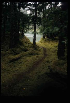
Image depicts a trail through the forest somewhere on Haida Gwaii.
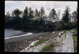
Image depicts a house on the shore somewhere on Haida Gwaii.
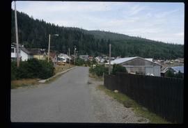
Image depicts the community of Skidegate on Haida Gwaii.
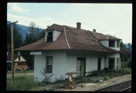
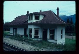
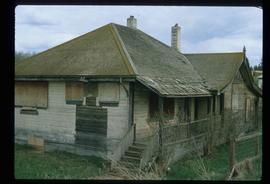
Image depicts the old Dunster Station in Dunster, B.C.
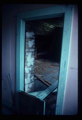
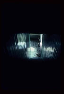
Image depicts the interior of the old Dunster Station in Dunster, B.C.
Image depicts the interior of the old Dunster Station in Dunster, B.C.
Image depicts the old Dunster Station in Dunster, B.C.
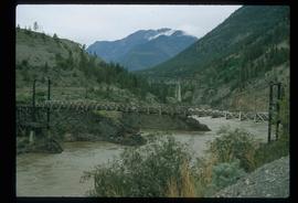
Image depicts two bridges over the Fraser River, located somewhere in Lillooet, B.C.
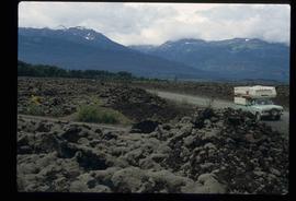
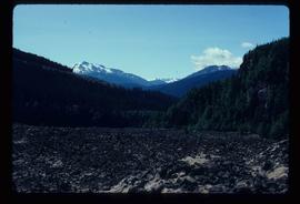
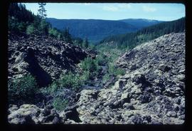
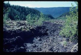
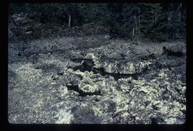
Image depicts the Tseax Lava Flow.
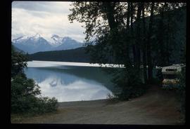
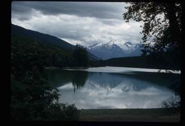
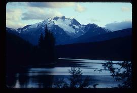
Image depicts what is possibly Melita Lake. The mountain in the background is possibly Tseax Cone, the volcano responsible for the existence of the Tseax lava flow.
Image depicts what is possibly Melita Lake. The mountain in the background is possibly Tseax Cone, the volcano responsible for the existence of the Tseax lava flow.
Image depicts the Tseax Lava Flow.
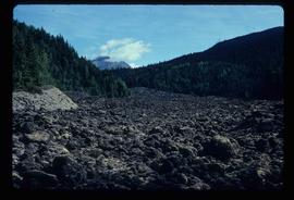
Image depicts the Tseax Lava Flow, with mountains in the distance.
Image depicts the Tseax Lava Flow.
Image depicts the Tseax Lava Flow.
Image depicts the north aspect of Oscar Peak overlooking Lava Lake in the Nass Valley.
Image depicts a stream running through the Tseax lava flow.
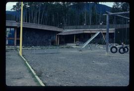
Image depicts a school and playground, possibly in New Aiyansh, B.C.
Item is an original 1982 map depicting the Bowron River in British Columbia, published by the Province of British Columbia Ministry of Environment.
Item is an original 1982 map depicting Prince George British Columbia, published by the Department of Energy, Mines and Resources in Ottawa. Map includes pen markings.
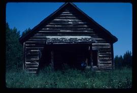
Image depicts the old school in Woodpecker, B.C.
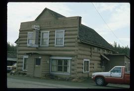
Image depicts an old government building, believed to have once housed the RCMP, in 150 Mile House, B.C.
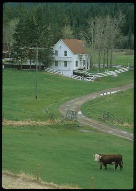
Image depicts the 132 Mile House Ranch.
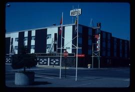
Image depicts the Prince George Hotel.
Image depicts the Lone Butte Hotel in Lone Butte, B.C.
Image depicts what appears to be an old mill at an unknown location.
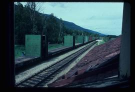
Image depicts the train tracks at the old Dunster Station in Dunster, B.C.
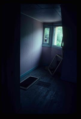
Image depicts the interior of the old Dunster Station in Dunster, B.C.
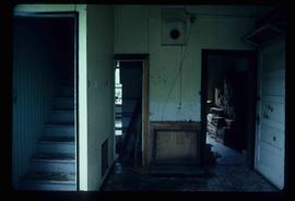
Image depicts the interior of the old Dunster Station in Dunster, B.C.
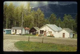
Image depicts the town of Dunster, B.C.
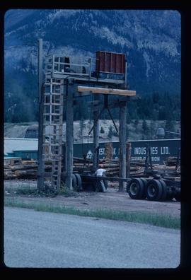
Image depicts a man attaching a logging trailer to a crane on a wooden structure to stack the trailer on the truck. A Crestbrook Forest Industries sawmill is located in the background.
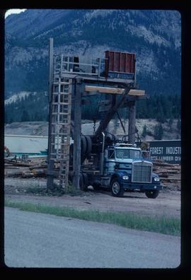
Image depicts a logging truck with its trailer being attached on top of it. A Crestbrook Forest Industries sawmill is located in the background.
File consists of a typescript essay titled "The Impact of Swiss settlement in the Bulkley Valley" by Allen Curley for a GEOG 205 class.
File consists of letters relating to the Regional District of Fraser-Fort George geographical authority and heritage inventory. Includes: "Valemount Train Station" typed letter from Russell J. Irvine, the director of the Regional District of Fraser-Fort George, to Kent Sedgwick regarding the Valemount train station and ranch buildings at Mount Robson and applications for heritage trust (27 July 1982); "Heritage in Mackenzie" typed letter from the District of Mackenzie to Mr. Trimmer, the secretary of the Heritage Advisory Committee regarding heritage sites in Mackenzie (17 Apr. 1979); "Regional District" typescript document that is a list of heritage sites in the Regional District of Fraser-Fort George area; and "Fraser-Fort George Regional District" pamphlet depicting a map of the regional districts geographic area and list of authority districts.
File consists of "The Spruce Needle" newspaper, vol. 1 no. 2 (24 Aug. 1982). The serial described itself as having "Prince George Community News and Views".
File consists of "The Spruce Needle" newspaper, vol. 1 no. 4 (7 Sept. 1982). The serial described itself as having "Prince George Community News and Views".
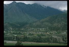
Image depicts a view of Lillooet, B.C.
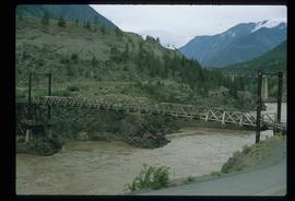
Image depicts two bridges over the Fraser River, located somewhere in Lillooet, B.C.
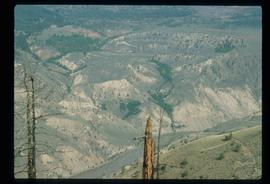
Image depicts the Moran Canyon; the Fraser River is visible near the bottom.
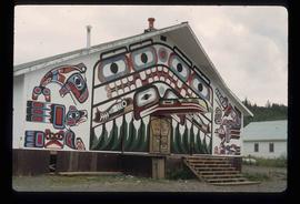
Image depicts a building painted with First Nations art in New Aiyansh.
Image depicts the Tseax Lava Flow.
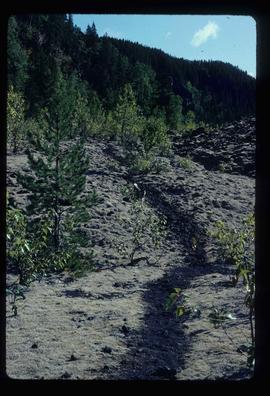
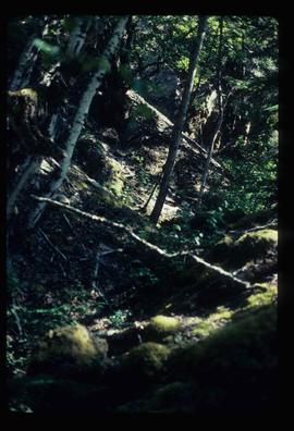
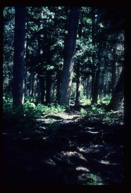
Image depicts a forested area located somewhere near the Tseax Lava Flow.
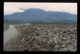
Image depicts the Tseax Lava Flow, looking up valley.
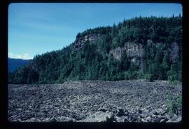
Image depicts old lava cliffs and the Tseax Lava Flow in Nisga'a Provincial Park, near New Aiyansh, B.C.
Image depicts a forested area located somewhere near the Tseax Lava Flow.
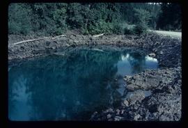
Image depicts what appears to be a small pond near the Tseax lava flow.
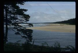
Image depicts the coastline of Haida Gwaii, B.C.
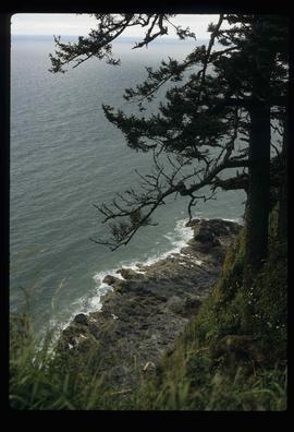
Image depicts a downward view of a small section of the shore of Haida Gwaii.
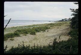
Image depicts the coastline of Haida Gwaii, B.C.
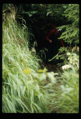
Image depicts an individual ducking under a tree branch somewhere in Haida Gwaii, B.C.
