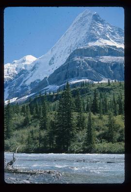
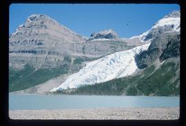
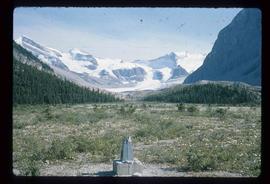
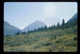
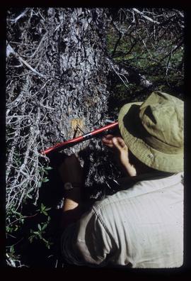
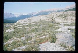
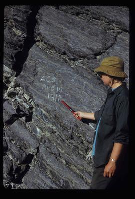
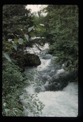
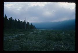
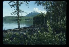
Image depicts three men and a dog on the hiking trail near Mt. Robson.
Image depicts what is possibly the Robson River at the base of Mt. Robson.
Image depicts the Berg Glacier and Berg Lake near Mt. Robson.
Image depicts a camp of people with Mt. Robson and the Berg Glacier in the background.
Image depicts five unknown individuals somewhere near Mt. Robson.
Image depicts a group of people heading towards a glacier, possibly the Robson Glacier.
Image depicts a group of people hiking on a glacier, possibly the Robson Glacier.
Image depicts a man talking to a group of hikers, with what is possibly Mt. Robson and the Robson Glacier in the background.
Image depicts a range of mountains in the Mt. Robson Provincial Park.
Image depicts a view of Mt. Robson Provincial Park.
Image depicts an unknown individual reading inside a tent somewhere in Mt. Robson Provincial Park.
Image depicts a group of hikers somewhere in Mt. Robson Provincial Park.
Image depicts a group of people hiking through trees somewhere in Mt. Robson Provincial Park.
Image depicts a man, with what is possibly the Robson Glacier visible in the background.
Image depicts Kent Sedgwick speaking to a group of hikers.
Image depicts a view of Mt. Robson Provincial Park.
Image depicts a man looking at some papers. It is most likely Kent Sedgwick.
Image depicts a man, most likely Kent Sedgwick, using what appears to be some type of a spigot on a tree.
Image depicts a view of Mt. Robson Provincial Park.
Image depicts an unknown individual pointing at some writing on a rock; it possibly reads "ACC Aug 10 1911."
Image depicts the Tseax River.
Image depicts an unknown individual standing on the Tseax Lava Flow.
Image depicts Kent Sedgwick standing in a drainage tunnel of the Tseax Lava Flow.
Image depicts a sign at the Tseax Lava Flow asking people to not remove lava from the site.
Image depicts the Tseax Lava Flow.
Image depicts the north aspect of Oscar Peak overlooking Lava Lake in the Nass Valley.
Image depicts a shallow river running over and through the Tseax lava flow.
Image depicts the Terzaghi Dam on the Bridge River, looking from the upstream (reservoir) side located near Bralorne, B.C. The water is Carpenter Lake.
Image depicts an elevated view of a lake and a road located somewhere near Bralorne, B.C.
Image depicts a dirt road leading through a forest.
Image depicts a river running through a valley-like area somewhere near Bralorne, B.C.
Image depicts a river full of logs, somewhere near Bralorne, B.C.
Image depicts the Bridge River No. 1 hydroelectric station on the shore of Seton Lake (rear side of powerhouse).
Image depicts the Lajoie Dam on the Bridge River, upstream side, showing part of Downton Lake and, in the foreground, the spillway intake.
Image depicts a view of the land surrounding Bralorne, B.C.
Image depicts a man holding a chain of fish on the shore of Carp Lake.
Image depicts a low rain cloud over Carp Lake.
Image depicts Carp Lake at dusk.
Image depicts a boat launch with several people nearby; it is possibly at War Lake in Carp Lake Provincial Park.
Image depicts a lake with a mountain in the distance, viewed "west from lodge;" it is possibly Takla Lake.
Image depicts a lake, viewed "west from lodge;" it is possibly Takla Lake.
Image depicts two cabins on the shore near the lodge at Takla Lake.
Image depicts the "north-west arm" of Takla lake.
Image depicts a west-looking view of Trembleur Lake.
Image depicts the BCR station in Leo Creek, B.C.
Image depicts Takla Lake west of Leo Creek.
Image depicts the government houses located at the Takla Landing.
Image depicts an aerial view of a forest somewhere in the area of Divide Lake.
Image depicts a view of the Herrick River in what is possibly McGregor Canyon; the slide is simply labelled "McG Canyon."