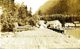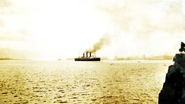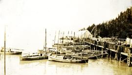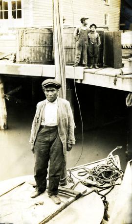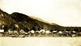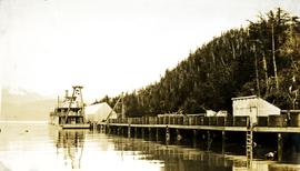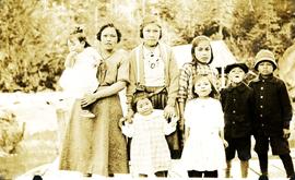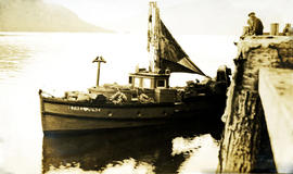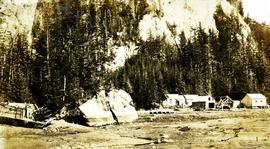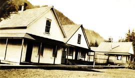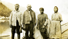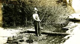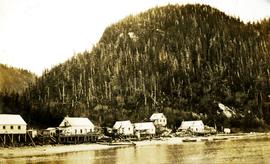
2009.10.3.50
·
Item
·
[between 1923 and 1926]
Part of Fred Jeffery Photograph Collection
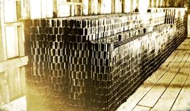
Photograph depicts a large stack of cans. Handwritten annotation below photograph reads, "830 cases of tall cans".