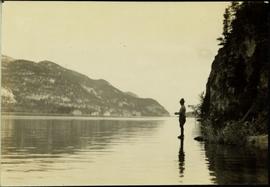
2004.6.02
·
Item
·
[between 1920 and 1940]
Part of Stuart Lake Photograph Collection
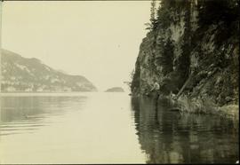
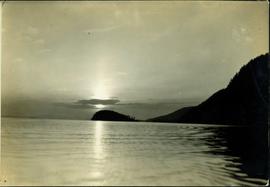
Typed annotation on recto: "Sunset at Stuart Lake, B.C." Hills on shore in midground, sun behind clouds reflected in rippled water.