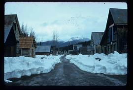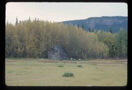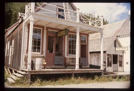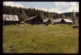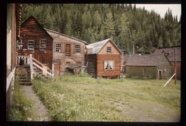
2012.13.1.2.014
·
Pièce
·
01 Oct. 2002
Fait partie de J. Kent Sedgwick fonds
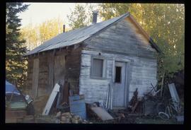
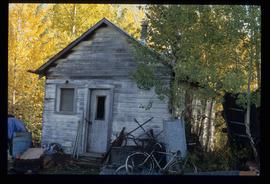
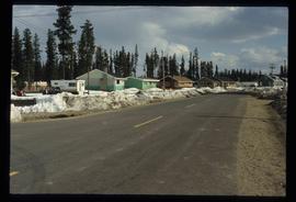
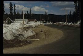
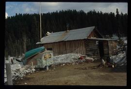
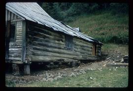
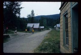
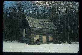
Image depicts a building in Reid Lake