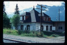
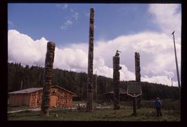
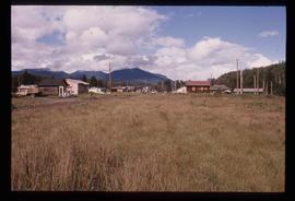
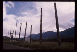
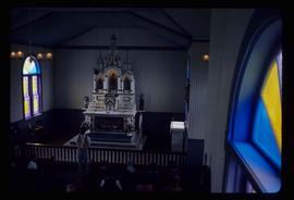
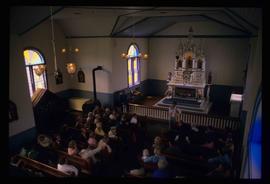
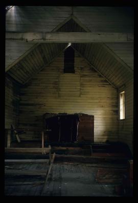
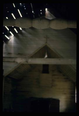
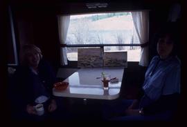
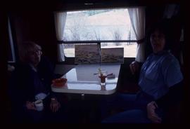
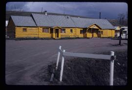
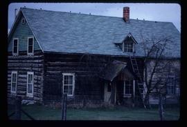
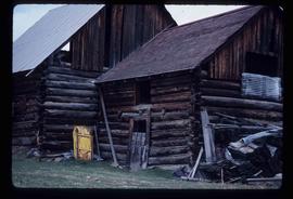
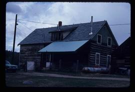
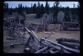
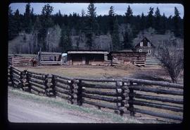
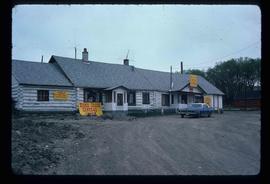
Image depicts a view of Quesnelle Forks and the nearby river.
Image depicts an old building which has collapsed into a pile of wood, possibly in Quesnelle Forks.
Image depicts a collapsed wooden structure, possibly a bridge, which is likely located somewhere near Quesnelle Forks.
Image depicts a view of the small town of Likely, B.C.
Image depicts numerous old and ruined cabins in Quesnelle Forks.
Image depicts a hotel in Likely, B.C.
Image depicts numerous vehicles and individuals outside a hotel in Likely, B.C.
Image depicts the fish ladder of the Meziadin Falls, designed to help fish swim upstream.
Image depicts several individuals looking down into a closed off section of a river in Meziadin Lake Provincial Park. They are counting fish.
Image depicts a south-west view of the Nass Valley.
Image depicts a bridge over the Nass River.
Image depicts an old Hudson Bay Company house in Kitwanga, B.C.
Image depicts a totem pole in Kitwancool, B.C.
Image depicts two old, overgrown and collapsing buildings, as well as a metal frame; it is located somewhere in Kitwancool, B.C.
Image depicts several old totem poles on their sides in Kitwancool, B.c.
Image depicts a row of totem poles in Kitwancool, B.C.
Image depicts numerous houses in Kitwancool, B.C.
Image depicts a totem pole in Kitwanga, B.C.
Image depicts a row of totem poles in Kitwanga, B.C.
Image depicts an old, collapsing log building in Kitwancool, B.C.
Image depicts the altar inside the St. Joseph's Roman Catholic Church in Kamloops, B.C.
Image depicts a representation of the crucified Christ in the St. Joseph's Roman Catholic Church in Kamloops, B.C.
Image depicts a large crowd of people seated inside the St. Joseph's Roman Catholic Church in Kamloops, B.C.
Image depicts a red carriage labelled in yellow "B.C. Express Co. No. 20." It is possibly located in Kamloops, B.C.
Image depicts an old and abandoned, collapsing church at an uncertain location.
Image depicts a small graveyard at an uncertain location.
Image depicts numerous grave markers at an uncertain location.
Image depicts the interior of an old, abandoned church at an uncertain location; possibly somewhere between Lillooet and Kamloops.
Image depicts two women at a table; the one on the right is possibly Sue Sedgwick. The image may have been taken in Meldrum Creek, B.C.
Image depicts a yellow building in Meldrum Creek.
Image depicts a ranch house in Meldrum Creek, B.C.
Image depicts an old, collapsing shack in Meldrum Creek, B.C.
Image depicts a ranch house in Meldrum Creek, B.C.
Image depicts fenced-in cattle on a farm or ranch in Meldrum Creek, B.C.
Image depicts a barnyard of cattle and chicken on a farm or ranch in Meldrum Creek, B.C.
Image depicts what appears to be a small ranch. The slide is labelled "Becher's Prairie," possibly meaning Becher's Prairie Provincial Park in B.C.
Image depicts a sign titled "Chilcotin Wildlife Management Area" somewhere near Riske Creek, B.C. It reads: "This trail has been provided by the Fish and Wildlife Branch in co-operation with Riske Creek Ranching Ltd., as access to the Chilcotin Wildlife Management Area. Please do not leave the the trail as the surrounding land is private property."
Image depicts the Esso gas station in Riske Creek, B.C.
Image depicts the "Riske Creek General Store" in Riske Creek, B.C.
Image depicts Riske Creek, B.C. The brown building on the left is the local school.
Image depicts a bridge over the Fraser River, located at Chimney Creek, somewhere south-west of Williams Lake, B.C.
Image depicts a view of Williams Lake, B.C.
Image depicts an aerial view of what appears to be a small farm, possibly in the McGregor Canyon.
Image depicts the government houses located at the Takla Landing.
Image depicts a building, possibly an office building, next to a set of rail road tracks in Leo Creek, B.C. An unknown individual is present, and a number of barrels and culverts are visible in the foreground.