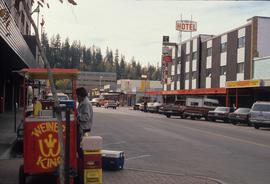
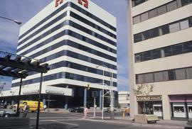
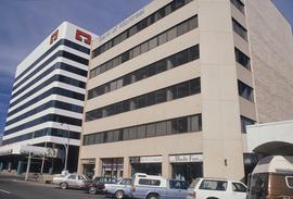
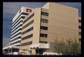
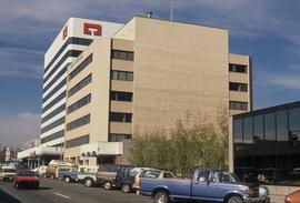
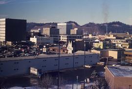
Image depicts George St in downtown Prince George with City Hall in the background. Also visible are the Prince George Hotel, Ming's Inn Chinese Restaurant, Fraser Stationers Ltd., Weiner King food cart, and a movie theatre. Map coordinates 53°54'55.0"N 122°44'36.1"W
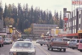
Image depicts George St in downtown Prince George with City Hall in the background. Also visible are the Prince George Hotel and a movie theatre. Map coordinates 53°54'55.0"N 122°44'36.1"W
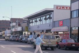
Image depicts 4th Ave at Quebec St, showing the following businesses: The Yarn Barn, Golden Chalice Jewellers, Dandy Lines, Ultrasport, and Saveco. Map coordinates 53°54'58.6"N 122°44'47.5"W
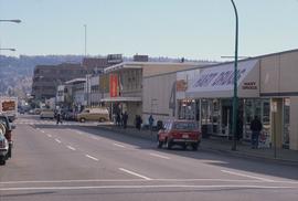
Image depicts 4th Ave at Brunswick St. and the following businesses: Hart Drugs, The Yarn Barn, and Saveco. Map coordinates 53°54'59.9"N 122°44'52.9"W
Image depicts 3rd Ave at Victoria St. Map coordinates 53°55'03.9"N 122°44'54.8"W
Image depicts 3rd Ave at Victoria St. Map coordinates 53°55'03.9"N 122°44'54.8"W
Image depicts 3rd Ave at Victoria St. Map coordinates 53°55'03.9"N 122°44'54.8"W
Image depicts 3rd Ave at Victoria St. Map coordinates 53°55'03.9"N 122°44'54.8"W
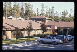
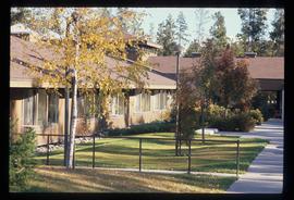
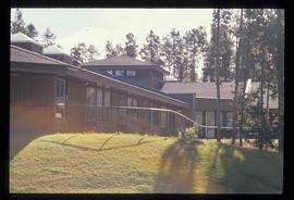
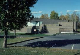
Image depicts Parkside Intermediate Care Home on Ospika Boulevard in Prince George. Map coordinates 53°55'02.6"N 122°47'41.6"W
Image depicts Parkside Intermediate Care Home on Ospika Boulevard in Prince George. Map coordinates 53°55'02.6"N 122°47'41.6"W
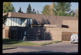
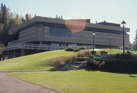
Image depicts the Fort George Regional Museum in Prince George, B.C. Map coordinates 53°54'18.6"N 122°44'09.8"W
Image depicts Parkside Intermediate Care Home on Ospika Boulevard in Prince George. Map coordinates 53°55'02.6"N 122°47'41.6"W
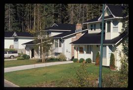
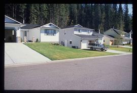
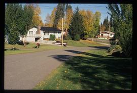
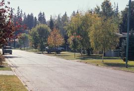
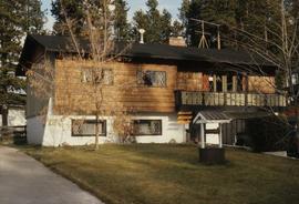
Image depicts a neighbourhood on North Meadows Road in Prince George, B.C.
Image depicts a neighbourhood on North Meadows Road in Prince George, B.C.
Image depicts a neighbourhood on the Hart Highway in Prince George, B.C.
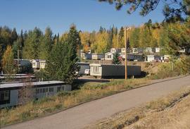
Image depicts trailer homes in Prince George, B.C.
Image depicts a subdivision of Prince George, B.C.
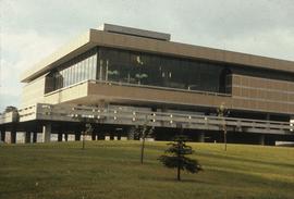
Image depicts the Prince George Public Library (Bob Harkins Branch). Map coordinates 53°54'44.6"N 122°45'01.7"W
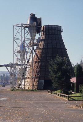
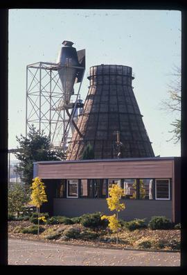
Image depicts a Beehive Burner along the Nechako on River Road. Map coordinates 53°55'34.1"N 122°44'58.0"W.
Image depicts a Beehive Burner along the Nechako on River Road. Map coordinates 53°55'34.1"N 122°44'58.0"W
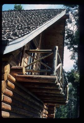
Image depicts the balcony of a log house, likely somewhere in or near Prince George B.C.
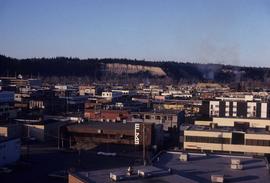
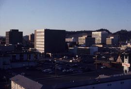
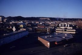
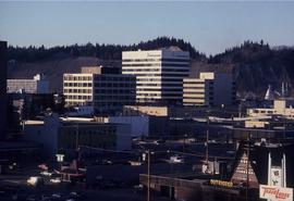
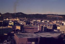
Image depicts downtown Prince George taken from City Hall looking north. Map coordinates 53°54'46.2"N 122°44'43.9"W
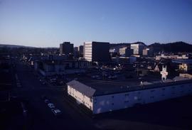
Image depicts downtown Prince George taken from City Hall looking northwest. Map coordinates 53°54'46.2"N 122°44'43.9"W
Image depicts downtown Prince George taken from City Hall looking north. Map coordinates 53°54'46.2"N 122°44'43.9"W
Image depicts downtown Prince George taken from City Hall looking northwest. Map coordinates 53°54'46.2"N 122°44'43.9"W
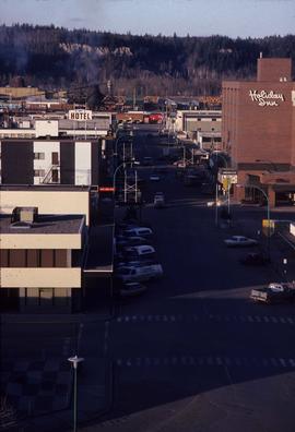
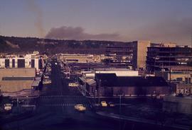
Image depicts a view of Prince George from City Hall looking northeast along George Street. Map coordinates 53°54'46.3"N 122°44'41.9"W
Image depicts downtown Prince George looking northwest. Map coordinates 53°54'48.7"N 122°44'45.6"W
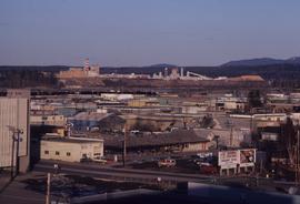
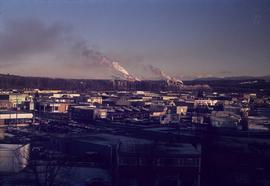
Image depicts a view of Prince George from City Hall looking northeast with the pulp mills in the background. Map coordinates 53°54'46.3"N 122°44'41.9"W
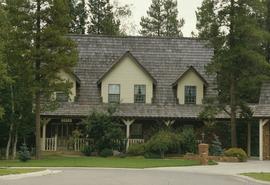
Image depicts a Cariboo Ranch style house at College Heights in Prince George, B.C.
Image depicts a Bavarian style house at College Heights in Prince George, B.C.
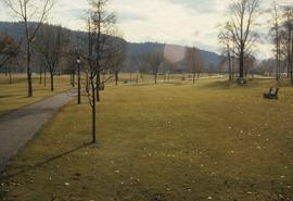
Image depicts the Fort George Park. Map coordinates 53°54'30.2"N 122°43'57.4"W
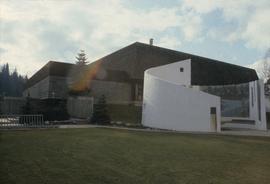
Image depicts the Four Seasons Leisure Pool, and the Centennial Fountain in Prince George, B.C. Map coordinates 53°54'48.5"N 122°44'49.2"W
Image depicts the Fort George Regional Museum (now known as The Exploration Place) in Prince George, B.C. Map coordinates 53°54'18.6"N 122°44'09.8"W
Image depicts the Prince George Public Library (Bob Harkins Branch). Map coordinates 53°54'43.1"N 122°44'56.4"W
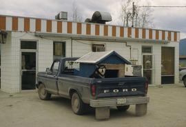
Image depicts a dog and dog house in the back of a pick-up somewhere near Prince George, B.C.
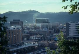
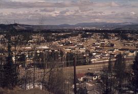
Image depicts the Central Business District of Prince George looking north from Connaught Hill. Map coordinates 53°54'41.4"N 122°44'58.5"W
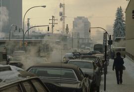
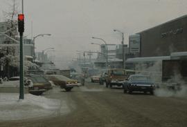
Image depicts Brunswick Street at 3rd Ave in -35 degree weather. Map coordinates 53°55'03.0"N 122°44'51.7"W
Image depicts 3rd Ave at Brunswick Street in -35 degree weather. Map coordinates 53°55'03.0"N 122°44'51.7"W
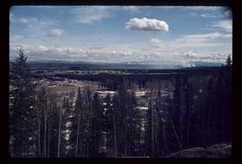
Image depicts a view of Prince George from Cranbrook Hill looking southeast. Map coordinates 53°54'51.5"N 122°49'05.2"W
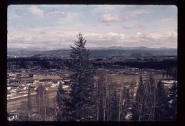
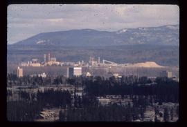
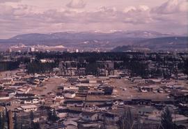
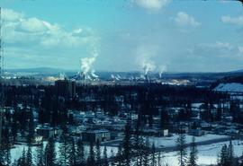
Image depicts a view of Prince George from Cranbrook Hill looking east with pulpmill and downtown in background.
Image depicts a view of Prince George from Cranbrook Hill looking east.
Image depicts a view of Prince George from Cranbrook Hill looking southeast. Map coordinates 53°54'51.5"N 122°49'05.2"W
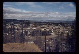
Image depicts a view of Prince George from Cranbrook Hill looking east. Map coordinates 53°54'51.5"N 122°49'05.2"W
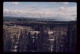
Image depicts a view of Prince George from Cranbrook Hill looking southeast. Map coordinates 53°54'51.5"N 122°49'05.2"W
Image depicts a view of Prince George from Cranbrook Hill looking east. Map coordinates 53°54'51.5"N 122°49'05.2"W
Image depicts a view of Prince George from City Hall looking north. Map coordinates 53°54'46.3"N 122°44'41.9"W
Image depicts a view of Prince George from City Hall looking northeast along George Street. Map coordinates 53°54'46.3"N 122°44'41.9"W
Image depicts a view of Prince George from City Hall looking northeast with the pulp mills in the background. Map coordinates 53°54'46.3"N 122°44'41.9"W
Image depicts downtown Prince George looking northwest across Dominion Street. Map coordinates 53°54'48.7"N 122°44'45.6"W
Image depicts a view of Prince George from Carney Hill.
