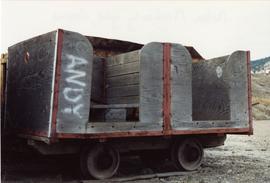
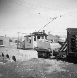
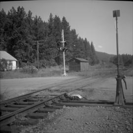
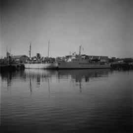
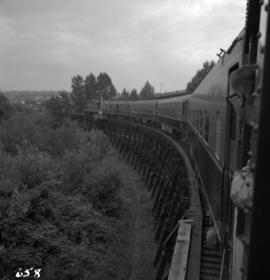
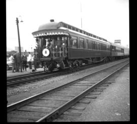
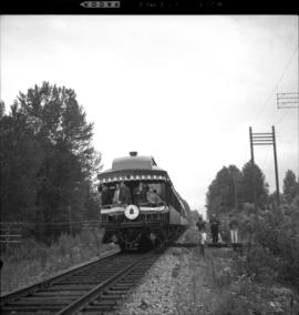
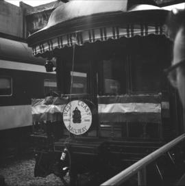
Showing 3157 results

Archival description
2721 results with digital objects Show results with digital objects
York Ltd. structure
2013.6.36.1.055.30 · Item · [between 1966 and 1983]
Part of David Davies Railway Collection

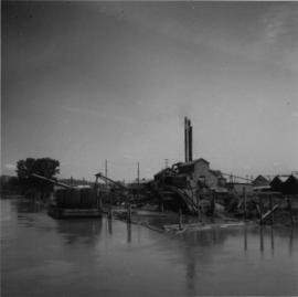
Photograph depicts a view of a body of water with various buildings in the background. A structure in the foreground is labelled "Yorke N. 12, Vancouver B.C.," suggesting it was built by Yorke Ltd.

2013.6.36.1.028.30 · Item · Aug. 1983
Part of David Davies Railway Collection

Photograph depicts the east end of the Yahk Junction and yards on the CPR line. The yard consisted of a main line and a Kingsgate branch with also acted as a 155 car length passing loop. There was also three other sidings and a radio signals shack.

2013.6.36.1.028.34 · Item · Aug. 1983
Part of David Davies Railway Collection

Photograph depicts the Yahk Junction on the CPR line. It is the junction for the Kingsgate Subdivision, which runs south for 10 miles to the border crossing at Kingsgate and there connects with the Spokane International Railway, which is a CPR Subsidiary. Yahk is located at about mile 40.6 on the Nelson Subdivision, which spans 138 miles from Cranbrook to Nelson.

"Y" at Lumby
2013.6.36.1.145.04 · Item · [June 2003]
Part of David Davies Railway Collection

Photograph taken looking towards a "Y." Only the left or northside of the "Y" appeared to be in use and was only about half the length. A crosspiece of it was actually unusable.

Woodings Rail Car
2013.6.36.1.143.02 · Item · Oct. 2001
Part of David Davies Railway Collection

Photograph depicts a Woodings Rail car owned by Kettle Valley Steam (Heritage) Railway. Davies noted that it was a rare example to have seen in B.C. at the time. It was believed to have been a type that was favored by the CPR.

2013.6.36.3.07.15 · Item · [before 1949]
Part of David Davies Railway Collection

Postcard depicts a "4-4-0 woodburning locomotive at Shuswap Station, east of Kamloops, at the turn of the century. The completion of the CPR across the Continent, guaranteed B.C.'s entry into Cinfederation, as well as reg economic and cultural connection to the East."

2013.6.36.1.062.15 · Item · Oct. 1969
Part of David Davies Railway Collection

Photograph depicts "W.J Stewart," of Ottawa, that is located on the mid-left with two masts, and "Vector," found on the mid-right with one mast. Both were believed to be hydrographic vessels, painted in white and cream which were not Coastguard colours. Taken on the Upper Harbour of Victoria, at the Coastguard wharf.

Weyerhaeuser sawmill
2013.6.36.1.145.06 · Item · Aug. 1997
Part of David Davies Railway Collection

Photograph taken on the CPR branch from Vernon to Lumby. Depicts a small Weyerhaeuser sawmill. Looking west at Lumby. The end of the track was another 1/3 of a mile behind the camera.

2013.6.36.1.007.021 · Item · Oct. 1965
Part of David Davies Railway Collection

Photograph depicts the western portal of the C.P.R. Connaught Tunnel under Rogers Pass. The Glacier Station is a quarter mile to the rear of the camera. Fans are operated to force air through the tunnel against the direction of the trains, these therefore used for all westbound traffic. Diesel driven, steam for ancillary equipment.

Westbridge CPR depot
2013.6.36.1.027.14 · Item · [July 1966]
Part of David Davies Railway Collection

Photograph depicts the Westbridge CPR depot on the Kettle Valley Line. It is located about 11 miles north of Rock Creek and at about mile 123.3 east of Penticton. The depot house is disused and the sidings contained no cars, so there appears to be no local traffic.

West Summerland CPR station
2013.6.36.1.022.14 · Item · 2 Sept. 1970
Part of David Davies Railway Collection

Photograph depicts the West Summerland CPR station in the Okanagan. The station often was used but not permanently manned. It was located at mile 9.5 from Penticton. The view is looking south.

West Summerland CPR station
2013.6.36.1.022.15 · Item · 2 Sept. 1970
Part of David Davies Railway Collection

Photograph depicts the West Summerland CPR station in the Okanagan, located 9.5 miles from Penticton. The cloud in the middle distance is stone dust from a crusher on the east side of the track. The spur to the right leads to an old crusher but does not appear to be used.