2020.08.29
·
Pièce
·
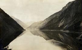
[1914 or 1915?]
Fait partie de Pacific Great Eastern Railway Region Photograph Collection
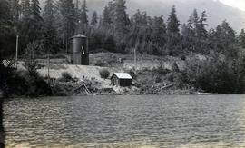
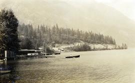
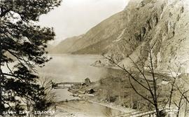
Photograph depicts the steam-operated sawmill at Seton Lake and a fish weir at the mouth of the creek. The railway grade alongside the lake, constructed circa 1914-1915, is visible in the background. The Seton Lake fish hatchery, which built and used the fish weir, ceased operations in 1915, dating this photograph sometime around 1914 or 1915.