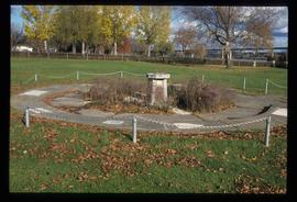
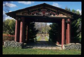
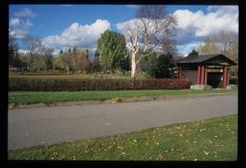
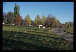
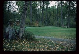
Image depicts the Lheidli T'enneh Burial Grounds in Fort George Park.
Image depicts the Lheidli T'enneh Burial Grounds in Fort George Park.
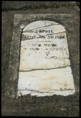
Image depicts a grave-marker in the Lheidli T'enneh Burial Grounds in Fort George Park.
Image depicts the Lheidli T'enneh Burial Grounds in Fort George Park.
Image depicts the Lheidli T'enneh Burial Grounds in Fort George Park.
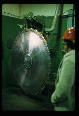
Image depicts a large saw at an indoor location, likely in a saw mill somewhere in Prince George, B.C.
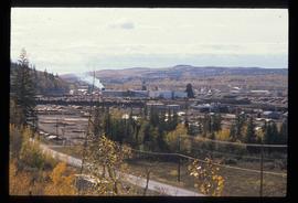
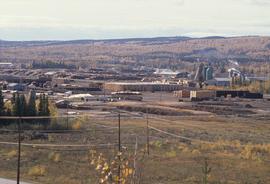
Image depicts the Lakeland Sawmill in Prince George, B.C, identified by the beehive burners; the one with white smoke belonged to Pas Lumber Co. which was bought out by Lakeland in 1987.
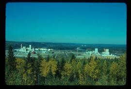
Image depicts the Lakeland Sawmill in Prince George, B.C.
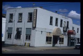
Image depicts the La Tienda Hair and Nail Salon on an uncertain street somewhere in Prince George, B.C.
Photograph depicts KLM Engineering Ltd. at 1924 3rd Avenue. Annotation on verso: "KLM c-7, Native Head Start program?".
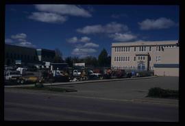
Image depicts the King George V School in Prince George, which was demolished sometime around 2006 and Duchess Park Secondary School was built in its place.
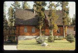
Image depicts a log house located somewhere on Kerry Street in Prince George, B.C.
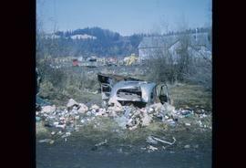
Image depicts a junk pile of bottles, cans and bags, as well as the gutted frame of an old car, at Island Cache.
Image depicts the Javva Mugga Mocha Cafe in Prince George, B.C.
This fonds consists of material created and collected by Kent Sedgwick, author, professor, Prince George urban planner, and prominent local historian. This body of records documents Sedgwick’s research interests in the history and geography of the Central Interior of British Columbia. The fonds also reflects his work as a Prince George Senior City Planner, his involvement in local community organizations, and his teaching at the College of New Caledonia and the University of Northern British Columbia.
The fonds includes:
1) Photographs taken by Kent Sedgwick across British Columbia, predominantly in the Central Interior region;
2) Research subject files consisting of original research documentation and collected reference material, predominantly focusing on topics relating to local history, city planning, and geography in the Prince George area and the British Columbia Central Interior;
3) Documentation of Kent Sedgwick’s community involvement, including records created over the course of his work with the Prince George Heritage Commission, , the Alexander Mackenzie Heritage Trail Association, and other local organizations;
4) Writings, publications, and lectures written, edited, or conducted by Kent Sedgwick;
5) Professorial records consisting of lectures and material relating to Sedgwick’s teaching appointments at the College of New Caledonia and the University of Northern British Columbia;
6) Maps collected by Kent Sedgwick covering historical and contemporary British Columbia.
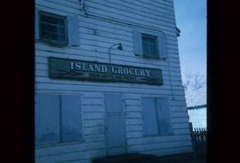
Image depicts a grocery store at Island Cache.
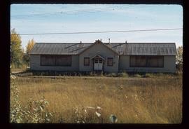
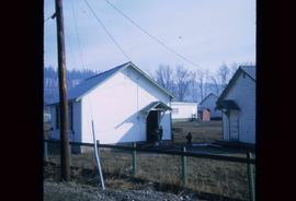
Image depicts an old, boarded up school in Island Cache, B.C.
File contains slides depicting Island Cache on Cottonwood Island in Prince George, B.C.
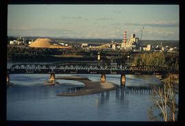
Image depicts two mills; the Intercontinental Pulp Mill is on the right in the foreground, and the Prince George Pulp and Paper Mill is on the left in the background. The picture is taken from the South, possibly off Yellowhead Bridge in Prince George, B.C.
Image depicts two mills; the Intercontinental Pulpmill is on the left side of the tracks in the image and the Prince George Pulp and Paper Mill is located on the right side in Prince George, B.C. The Northwood Pulp Mill can be seen in the distance.
Index print contains 25 photographs of a yard, a blue house and 5 portraits. The photographs were taken by Kent Sedgwick.
Image depicts houses on Dogwood Street in the Millar Addition neighbourhood of Prince George, B.C. On the left is 1610 Dogwood Street and 1630 Dogwood Street is the middle house; 1650 Dogwood Street is the blue house on the right.
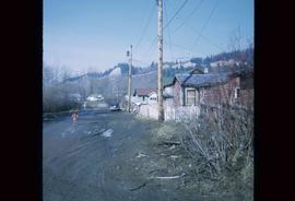
Image depicts numerous houses, and an unknown child standing in a street at Island Cache.
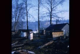
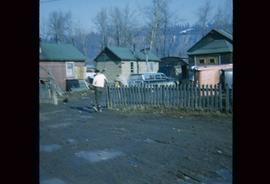
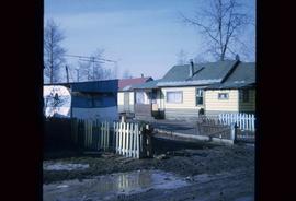
Image depicts a few houses in Island Cache.
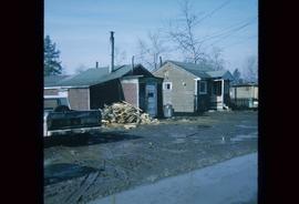
Image depicts a number of small houses at Island Cache.
Image depicts a few houses in Island Cache. There are two unknown individuals present.
Image depicts a few houses and a dog on a porch at Island Cache.
Image depicts a number of small houses at Island Cache.
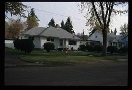
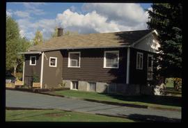
Image depicts a house, most likely on Thompson Drive in Prince George, B.C.
Photograph depicts the Hong Kong Inn and restaurant at 1210 3rd Avenue. Annotation on verso: "Dredaute Bldg c. 1948".
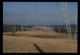
Image depicts the power lines in the Hixon area south of Prince Georg, B.C.
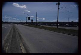
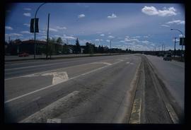
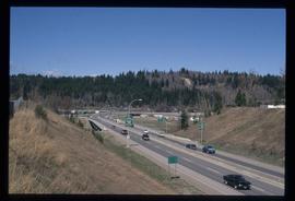
Image depicts a view along Highway 97 in Prince George, B.C.
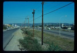
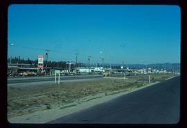
Image depicts Highway 97 at 15th Ave. looking north. Map coordinates 53°54'36.0"N 122°46'55.5"W
Image depicts Highway 97 at 15th Ave. looking north. Map coordinates 53°54'42.1"N 122°46'53.1"W
Image depicts a section of Highway 97 looking south. Map coordinates 53°55'10.3"N 122°46'54.9"W
Image depicts a highway, possibly Highway 97, in Prince George, B.C.
File contains slides depicting the opening of the Cottonwood Park section of the Heritage River Trails in Prince George, B.C.
Image depicts a section of the Heritage Trail in Cottonwood Park.
File consists of records created and collected by Kent Sedgwick regarding the Heritage River Trails System and surrounding park areas in Prince George such as Cottonwood Island Park. Highlights include:
- Full page newspaper feature in The Citizen written by Kent Sedgwick that includes a detailed history of Cottonwood Island Park and the River Trails as well as a contest for naming the trail system (2 Nov. 1984)
- Graham Farstad, Director of Planning, City of Prince George, "Prince George's Heritage River Trail System" document, May 1986
- records relating to the dedication plaque for the opening of the trails
- "Heritage River Trails: A Guide to the Pathways along the Fraser and Nechako Rivers, Prince George, British Columbia" brochures created by Kent Sedgwick
- map on transparency depicting the Heritage River Trails System
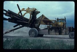
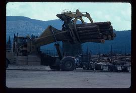
Image depicts a piece of heavy machinery lifting numerous logs. It is likely located in Prince George, B.C.
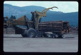
Image depicts a piece of heavy machinery lifting numerous logs off the back of a logging truck. It is likely located in Prince George, B.C.
Image depicts a piece of heavy machinery lifting numerous logs off the back of a logging truck. It is likely located in Prince George, B.C.
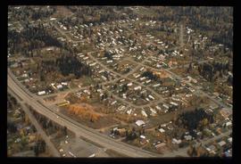
Image depicts a neighbourhood on the Hart Highway in Prince George, B.C.
File contains slides depicting places along the Hart Highway.
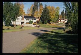
Image depicts Glenview Drive near the Hart Highway in Prince George, B.C.
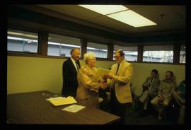
Image depicts a man and woman shaking hands in a building at an uncertain location, possibly in Cottonwood Park. The man standing behind the two is possibly Elmer Mercier, a former mayor of Prince George, B.C.
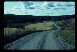
Image depicts a house on Blackwater Road.
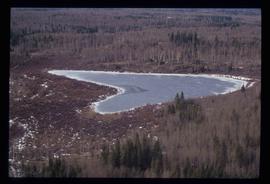
Image depicts Haldi Lake near Prince George, B.C.
File contains slides depicting CN locations east of Prince George.
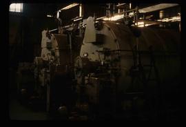
Image depicts machinery in the GTP roundhouse in Prince George, B.C.
