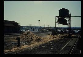
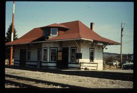
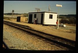
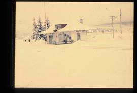
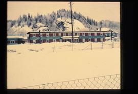
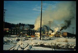
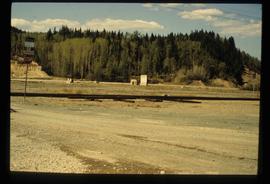
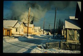
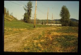
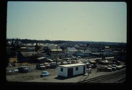
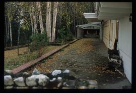
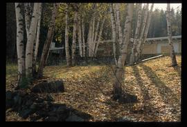
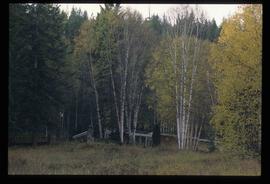
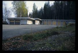
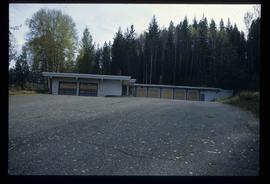
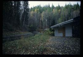
Image depicts what is possibly the CN Railway Station and tracks located in Giscome, B.C.
Image depicts the old CN station in Giscome, B.C. Map coordinates 54°04'20.7"N 122°22'01.1"W
Image depicts the new CN station in Giscome, B.C. Map coordinates 54°04'20.7"N 122°22'01.1"W
Image depicts the old CN station in Giscome, B.C. Map coordinates 54°04'20.7"N 122°22'01.1"W
File consists of clippings and reproductions relating to Giscome. Includes various clipped articles from the Prince George Citizen newspaper (1974-1976).
File consists of notes relating to Kent Sedgwick's research on Giscome and his book "Giscome Chronicle: The Rise and Demise of a Sawmill Community in Central British Columbia, 1912-1976". Includes a CD containing photographs for use on the book cover of "The Rise and Demise of a Sawmill Community" (2007).
File consists of notes, clippings, and reproductions relating to Kent Sedgwick's book "Giscome Chronicle: The Rise and Demise of a Sawmill Community in Central British Columbia, 1912-1976". Includes various printed email correspondences regarding copies of "Giscome Chronicle"; and "New book explores Giscome's history" clipped article from the Prince George Citizen newspaper (18 Dec. 2008).
File consists of notes, clippings, and reproductions relating to Kent Sedgwick's research on Giscome. Also includes a photograph depicting St. Fredrick's church in Giscome.
File consists of the a corrected version of "Giscome Chronicle: The Rise and Demise of a Sawmill Community in Central British Columbia, 1912-1976" by Kent Sedgwick.
File consists of notes and reproductions for research corrections to Kent Sedgwick's book "Giscome Chronicle: The Rise and Demise of a Sawmill Community in Central British Columbia, 1912-1976".
File consists of a published and annotated copy of "Giscome Chronicle: The rise and demise of a sawmill community in central British Columbia, 1912-1976" by Kent Sedgwick. Includes annotations and notes by Kent Sedgwick.
Image depicts the Giscome bunkhouse in Giscome, B.C. Map coordinates 54°04'17.6"N 122°22'06.1"W
Item is an original 1961 partial map depicting Giscome, published by the Army Service Establishment, R.C.E. Map includes pen markings.
Image depicts the Giscome mill site in Giscome, B.C. The bunkhouse is the large building with many windows. A train and railroad tracks are in the foreground. Map coordinates 54°04'17.6"N 122°22'06.1"W
Image depicts the Giscome mill site in Giscome, B.C. The railroad tracks are in the foreground. Map coordinates 54°04'17.6"N 122°22'06.1"W
Image depicts a street of houses in Giscome, B.C. Map coordinates 54°04'20.9"N 122°21'53.1"W
Image depicts the remains of a street of houses in Giscome, B.C. The quarry is slightly visible in the background. Map coordinates 54°04'20.9"N 122°21'53.1"W
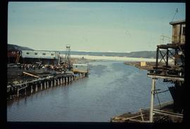
Image depicts mill site and dock in Giscome, B.C. with Eaglet Lake in the background covered in ice. There is a large crowd of people gathered near the dock. Map coordinates 54°04'34.9"N 122°21'50.0"W
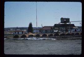
Image depicts the CN Station, with bundles of wood sitting near the tracks, in Giscome, B.C. Map coordinates 54°04'32.3"N 122°21'42.3"W
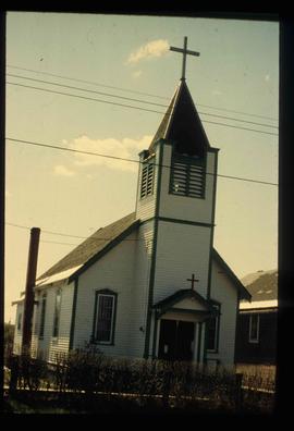
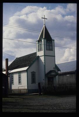
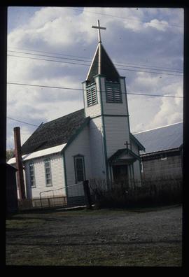
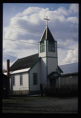
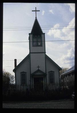
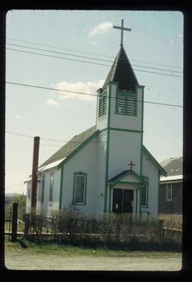
Image depicts a church in Giscome, B.C. Map coordinates 54°04'16.2"N 122°21'54.3"W
Image depicts a Catholic church in Giscome, B.C. Map coordinates 54°04'15.5"N 122°21'52.1"W
Image depicts a Catholic church in Giscome, B.C. Map coordinates 54°04'15.5"N 122°21'52.1"W
Image depicts a Catholic church in Giscome, B.C. Map coordinates 54°04'15.5"N 122°21'52.1"W
Image depicts a Catholic church in Giscome, B.C. Map coordinates 54°04'15.5"N 122°21'52.1"W
Image depicts a Catholic church in Giscome, B.C. Map coordinates 54°04'15.5"N 122°21'52.1"W
Image depicts the Giscome, B.C. town site with the Giscome railway station and the Giscome store in the center surrounded by vehicles. Map coordinates 54°04'18.5"N 122°21'57.7"W
The item is a photograph depicting the exterior of Ben Ginter's house. The windows are boarded up. The location is on an unnamed road in Prince George.
The item is a photograph depicting the view of Prince George from the front of Ben Ginter's house. The location is on an unnamed road in Prince George.
The item is a photograph depicting Ben Ginter's house. The house is white and the windows and garage doors are boarded up. The location is on an unnamed road in Prince George.
The item is a photograph depicting the exterior of Ben Ginter's house. The windows are boarded up. The location is on an unnamed road in Prince George.
The item is a photograph depicting the front Ben Ginter's house. The house is white and stone, the windows boarded up. The location is on an unnamed road in Prince George.
The item is a photograph depicting the front Ben Ginter's house. The house is white and stone, the windows boarded up. The location is on an unnamed road in Prince George.
The item is a photograph depicting the exterior of Ben Ginter's house. The windows and garage doors are boarded up. The location is on an unnamed road in Prince George.
Image depicts the Ginter Property in Prince George, B.C.
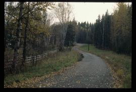
Image depicts a road near the Ginter House in Prince George, B.C.
Image depicts a road near the Ginter House in Prince George, B.C.
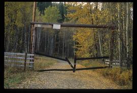
Image depicts a private driveway, most likely leading to the Ginter Property in Prince George, B.C.
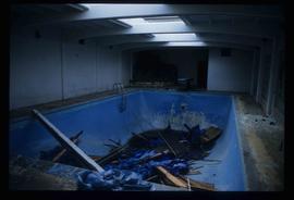
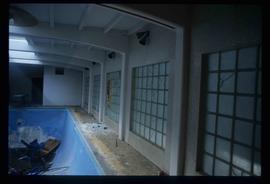
Image depicts a swimming pool filled with debris in the interior of the Ginter House in Prince George, B.C.
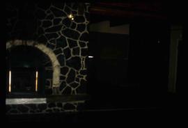
Image depicts the interior of the Ginter House in Prince George, B.C.
Image depicts the interior of the Ginter House in Prince George, B.C.
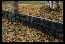
Image depicts what appears to be a part of a fence on the Ginter Property in Prince George, B.C.
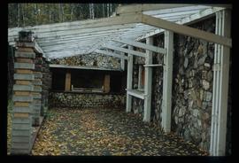
Image depicts the Ginter House in Prince George, B.C.
File contains slides depicting images of the Ginter House from 1997 in Prince George, B.C.
Image depicts the Ginter House in Prince George, B.C.
Image depicts the Ginter House in Prince George, B.C.
Image depicts the Ginter House in Prince George, B.C.
Image depicts the Ginter House in Prince George, B.C.
Image depicts the Ginter House in Prince George, B.C.
Image depicts the Ginter House in Prince George, B.C.
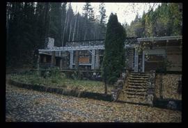
Image depicts the Ginter House and the surrounding woods, in Prince George, B.C.
