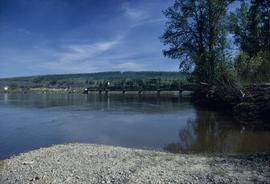
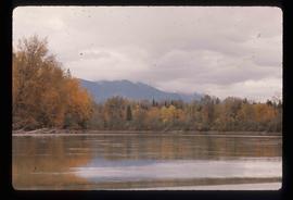
Image depicts the Fraser River and the Grand Trunk Pacific Bridge from Cottonwood Island Park.
File consists of notes and reproductions of Frank Leonard's writings and research for his 1984 BC Studies article "Grand Trunk Pacific and the Establishment of the City of Prince George, 1911-1915". Includes: "Grand Trunk Pacific and the Establishment of Prince George 1911-1915" typescript document by Frank Leonard for his PhD dissertation (Feb. 1984) and "The Grand Trunk Pacific Railway Company and the Development of Northern British Columbia, 1902-1919" outline of dissertation chapters typescript document by Frank Leonard (1984).
File contains slides depicting images of the Fraser Canyon from somewhere around 1975.
The item is a photograph depicting the Fraser River going through the Grand Canyon of the Upper Fraser.
File consists of notes, clippings, and reproductions relating to the Grand Canyon of the Fraser River. The Grand Canyon of the Fraser is a short gorge on the upper Fraser River, about 6 kilometres south-southwest of Hutton. The canyon head was about 171 kilometres by river from Fort George, and is about 100 kilometres due east of downtown Prince George.
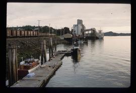
Image depicts a large vessel docked at a grain elevator and two smaller boats at a dock in the foreground somewhere in Prince Rupert, B.C.
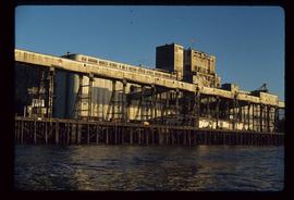
Image depicts a grain elevator in Prince Rupert, B.C.
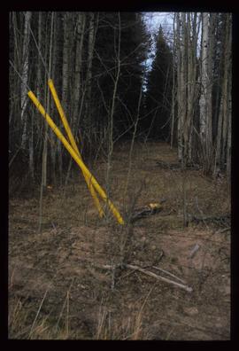
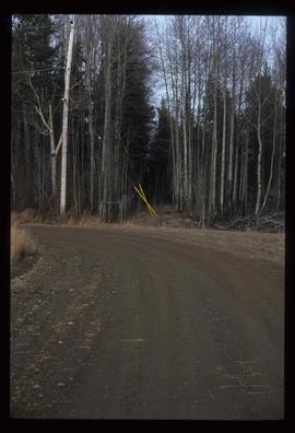
Image depicts a clearing through the woods, possibly an abandoned grade for the BCR. It is possibly located on Iron Road South, near Woodpecker B.C.
Image depicts a clearing through the woods, possibly an abandoned grade for the BCR. It is possibly located on Iron Road South, near Woodpecker B.C.
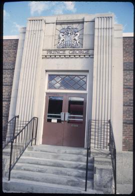
The item is a photograph of of the Government of Canada service office on 3rd Avenue in Prince George.
Image depicts the Canadian Forces Recruiting Centre on the north side of 3rd Ave in Prince George, B.C.
File consists of notes, clippings, and reproductions relating to Gorse Street, Prince George. Includes: "RE: Gorse pic" printed email from Brian Fawcett to Kent Sedgwick (2 June 2008) and "Heritage Site Inventory 1420 Gorse" typescript document (2009). Also includes a photograph depicting a house at the address 1420 Gorse Street, Prince George (2009).
The newspaper is a special issue celebrating the fiftieth anniversary of CKPG. The newspaper tells the history of CKPG highlighting specific people that contributed to the station.
File consists of notes, clippings, and reproductions relating to the gold rush in Quesnel and Likely, British Columbia. Includes: "Guide to the Goldfields: Cariboo Country" newspaper edition (1998); "Cariboo, Chilcotin Coast, Likely" brochure published by Likely & District Chamber of Commerce [199-]; "The UNBC Quesnel Rover Research Centre" pamphlet published by the University of Northern British Columbia (2002); "New Nugget Restaurant" paper placemat (1972); and "Likely" brochure from the Likely Chamber of Commerce [198-]. Also includes photographs depicting a camping trip in Likely, British Columbia (2010).
Item is an original 1862 map depicting various gold regions of British Columbia published by Britton & Company, San Francisco.
The item is a photograph of Gold Mine Pawn Shop and an unknown commercial building on 3rd Avenue in Prince George.
Image depicts the Fraser River in the Grand Canyon, B.C.
File consists of notes and reproductions relating to the Goat River railway station. Includes photographs depicting the Goat River station and a painting of the station (2009).
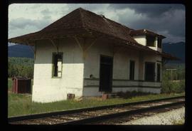
Image depicts the old Goat River Train Station in Goat River, B.C.
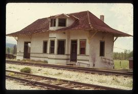
The photograph depicts the Goat River railway station next to twinned rails. The station is abandoned with missing doors and windows. Annotation on card states, "GOAT RIVER RAILWAY STATION." Photograph is a reproduction from [ca. 1978].
The photograph depicts the Goat River railway station next to twinned rails. The station is abandoned with missing doors and windows. Annotation on reverse side of photograph states, "Goat River GTP Station c. 1978 maybe 1982. photo by J. Kent Sedgwick." The statement, "Geo Info Services" is crossed out. Photograph is a reproduction from [ca. 1978].
The photograph is of a painting of the Goat River railway station, painted by Vivian Antoniw. Annotation on reverse side of photograph states, "Vivian Antoniw painting donated to Railway Mues. AM 2009."
The photograph depicts the Goat River railway station next to twinned rails. The station is abandoned with missing doors and windows. The number 4 is written on the photograph in marker and circled. Annotation on reverse side of photograph states, "Photo Credit J. K. Sedgwick Goat River, c. 1978."
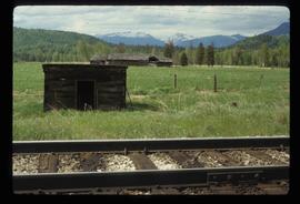
Image depicts a set of rail road tracks and an old, collapsing log building somewhere in Goat River, B.C.
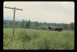
Image depicts an old, collapsing log building somewhere in Goat River, B.C.
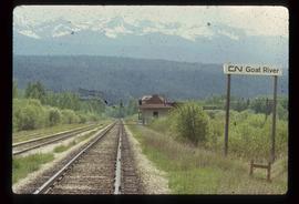
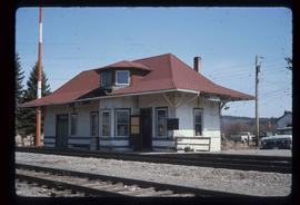
Image depicts the CN Railway and Station at Goat River, B.C.
Image depicts the CN Railway and Station at Goat River, B.C.
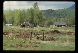
Image depicts a cabin and several sheds somewhere in Goat River, B.C.
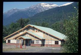
Image depicts the Gitwinksihlkw Elementary School in Gitwinksihlkw, B.C.
Item is an original 1961 map depicting Giscome in British Columbia, published by the Army Service Establishment, R.C.E. Map includes pen markings.
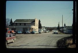
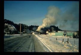
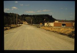
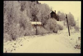
Image depicts a street in Giscome B.C. The Giscome Store is located on the left side of the image with the church in the background. Map coordinates 54°04'18.5"N 122°21'57.7"W
Image depicts the old Giscome Train Station in Giscome, B.C. It was demolished between 1976 and 1977.
Image depicts the Giscome mill site in Giscome, B.C. The bunkhouse is in the background on the left and the school is in the foreground on the right. Map coordinates 54°04'04.8"N 122°22'04.7"W
Image depicts the Giscome mill site in Giscome, B.C. The bunkhouse is no longer there and the school is in the foreground on the right. Map coordinates 54°04'04.8"N 122°22'04.7"W
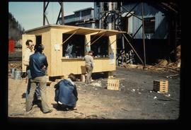
Image depicts a food stand at the mill site at Giscome, B.C. Map coordinates 54°04'19.7"N 122°22'04.7"W
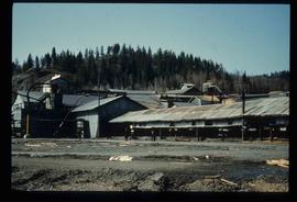
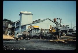
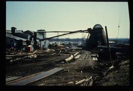
Image depicts the mill site at Giscome, B.C. Map coordinates 54°04'19.7"N 122°22'04.7"W
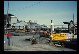
Image depicts the mill site at Giscome, B.C. A sign in the foreground reads "Maynard's Industrial Auctioneers." Map coordinates 54°04'19.7"N 122°22'04.7"W
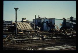
Image depicts the mill site at Giscome, B.C. Map coordinates 54°04'19.7"N 122°22'04.7"W
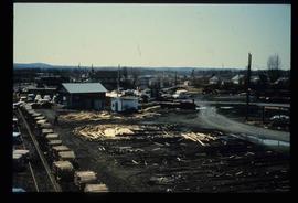
Image depicts the mill site at Giscome, B.C. Map coordinates 54°04'19.7"N 122°22'04.7"W
Image depicts the Giscome, B.C. mill site looking west. Map coordinates 54°04'18.5"N 122°21'57.7"W
Image depicts the mill site at Giscome and its beehive burner. Map coordinates 54°04'19.7"N 122°22'04.7"W
File consists of notes and reproductions relating to Kent Sedgwick's research on Giscome. Includes: "Joe Rositano" typed transcript of an oral interview with Joe Rositano conducted by Dan Watt (14 Apr. 2000). Also includes photographs depicting various buildings in Giscome (2009), and a CD containing photographs depicting the Giscome town plans (2009).
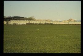
Image depicts what is possibly the quarry located at Eaglet Lake in Giscome, B.C.
File consists of photocopies of photographs depicting Giscome, taken by Joy McKinnon.
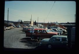
Image depicts a parking lot full of vehicles with the Giscome store in the background. Map coordinates 54°04'18.5"N 122°21'57.7"W
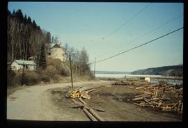
Image depicts the Giscome mill foreman's house on the hill, with Eaglet Lake in the background and numerous piles of logs in the foreground. Map coordinates 54°04'28.0"N 122°22'05.8"W
Image depicts the Giscome mill foreman's house on the hill. Map coordinates 54°04'28.0"N 122°22'05.8"W
File consists of notes and reproductions relating to the closure of the Giscome mill. Also includes a photograph depicting the Giscome mill foundations after its demolition.
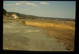
Image depicts an open area with Eaglet Lake in the background. It depicts the previous site of the mill at Giscome, B.C. Map coordinates 54°04'19.7"N 122°22'04.7"W
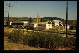
Image depicts the Giscome railway station and buildings remaining in townsite in Giscome, B.C. Map coordinates 54°04'18.0"N 122°22'04.7"W
