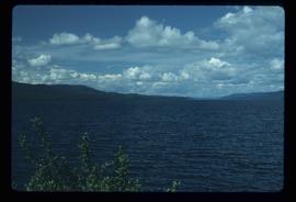
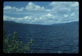
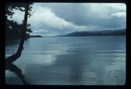
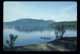
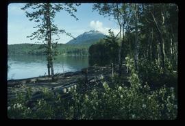
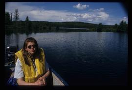
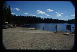
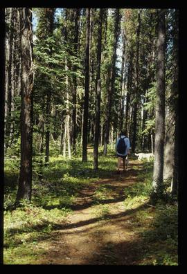
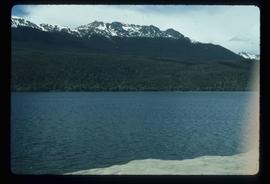
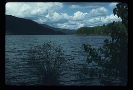
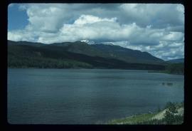
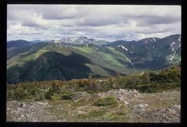
Image depicts a view of James Creek Valley.
Image depicts the "Divides Lake Waterfall."
Image depicts the "Divides Lake Waterfall" as well as a man in front of a helicopter in the foreground.
Image depicts the "Divides Lake Waterfall."
Image depicts a man standing in front of a helicopter; a waterfall is visible on the cliffs in the background. The slide itself is labelled "BC Parks Tour."
Image depicts an aerial view of the land in the area of Divide Lake.
Image depicts an aerial view of a forest somewhere in the area of Divide Lake.
File contains slides depicting images of and around Divide Lake.
Image depicts rail road tracks west of Takla Landing.
Image depicts the government houses located at the Takla Landing.
Image depicts a mountain and Takla Lake.
Image depicts phyllite, a type of metamorphic rock, on the north shore of Takla Lake.
Image depicts Takla Lake west of Leo Creek.
Image depicts woods located west of Leo Creek, with mountains in the distance.
Image depicts Takla Lake west of Leo Creek.
Image depicts a building, possibly an office building, next to a set of rail road tracks in Leo Creek, B.C. An unknown individual is present, and a number of barrels and culverts are visible in the foreground.
Image depicts the BCR station in Leo Creek, B.C.
Image depicts a few piles of culverts in Leo Creek, B.C.
Image depicts Middle River by Trembleur Lake.
Image depicts a west-looking view of Trembleur Lake.
Image depicts the "north-west arm" of Takla lake.
Image depicts two cabins on the shore near the lodge at Takla Lake.
Image depicts a cabin on the "west arm" of Takla Lake.
Image depicts a view of Takla Lake from a cabin on the "west arm."
Image depicts a cabin on the "west arm" of Takla Lake.
Image depicts the "west arm" of Takla Lake.
Image depicts a view of Takla Lake, "looking north-west."
Image depicts a view of Takla Lake.
Image depicts a view of Takla Lake, "looking south-east."
Image depicts a lake, viewed "west from lodge;" it is possibly Takla Lake.
Image depicts a lake viewed "south-east from lodge;" it is possibly Takla Lake.
Image depicts a lake with a mountain in the distance, viewed "west from lodge;" it is possibly Takla Lake.
Image depicts a number of identical buildings and vehicles at "Driftwood Creek" in the Driftwood Canyon Provincial Park.
Image depicts the Driftwood BCR station, possibly located near Driftwood Creek in the Driftwood Canyon Provincial Park east of Smithers, B.C.
Image depicts a mountain range "east of Driftwood," possibly meaning the Driftwood Canyon Provincial Park east of Smithers, B.C.
File contains slides depicting images of areas around Dease Lake, B.C.
File contains slides depicting Chemanus, B.C.
Image depicts a boat launch; it is possibly at War Lake in Carp Lake Provincial Park.
Image depicts a woman on a boat, possibly on War Lake.
Image depicts War Lake.
Image depicts a dock on a lake in Carp Lake Provincial Park, possibly War Lake.
Image depicts a boat launch with several people nearby; it is possibly at War Lake in Carp Lake Provincial Park.
Image depicts two dogs and a person walking on a path through the woods somewhere in Carp Lake Provincial Park.
Image depicts a dog standing on a path through the woods somewhere in Carp Lake Provincial Park.
Image depicts the McLeod River in Carp Lake Provincial Park.
Image depicts light from an unidentified light-source shining on a long, vertical object of an uncertain nature, though it is possibly a tree. The rest of the image is too dark to make out.