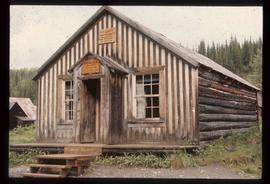
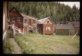
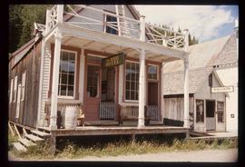
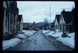
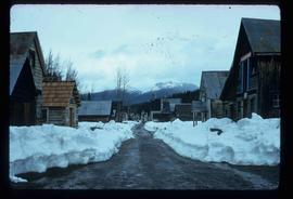
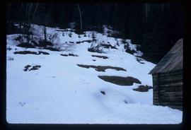
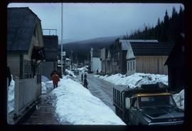
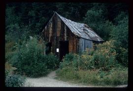
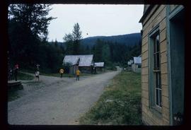
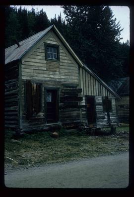
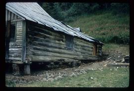
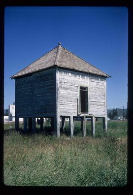
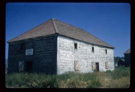
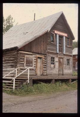
Image depicts a building in Barkerville with Chinese writing; it is possibly a store.
Image depicts a Sporting House in Barkerville.
Image depicts the Barkerville theatre from the porch of the Hudson's Bay Company.
Image depicts the main street of Barkerville, B.C.
Image depicts the back of the main street Barkerville, B.C.
Image depicts Barkerville, B.C.
Image depicts the interior of the Wake Up Jake Saloon in Barkerville, B.C.
Image depicts the Hudson's Bay Company in Barkerville, B.C.
Image depicts the House Hotel in Barkerville, B.C.
Image depicts the Masonic Hall in Barkerville, B.C.
Image depicts the Wake Up Jake Saloon in Barkerville, as well as several other buildings.
Image depicts the old Hudson Bay Trading Post with several unknown individuals present in Fraser Lake, B.C.
Image depicts the old Hudson Bay Trading Post in Fraser Lake, B.C.
Image depicts the old Giscome Train Station in Giscome, B.C. It was demolished between 1976 and 1977.
Image depicts the old Goat River Train Station in Goat River, B.C.
Image depicts the Cariboo Road south of Williams Lake.
Image depicts the Cariboo Road at Hat Creek Ranch, near Highway 99 on the way to Lillooet.
Image depicts the old, grown-over Cariboo Road at an uncertain location.
Image depicts a small model of the old prospecting process in what is likely Barkerville, B.C.
Image depicts the interior of an old house, possibly the Cottonwood House, and most likely in or near Barkerville, B.C.
Image depicts the interior of a church, possibly one in or near Barkerville, B.C.
Image depicts the living area of the interior of the Cottonwood House.
Image depicts the kitchen area of the interior of the Cottonwood House.
Image depicts the Cottonwood House at the Historic Site located in Barkerville, B.C.
Image depicts an old Anglican Church in Barkerville, B.C.
Image depicts a street in Barkerville, B.C.
Image depicts a snow-covered hill in Barkerville, B.C.
Image depicts a street in Barkerville, B.C.
Image depicts Blackwater River, B.C.
Image depicts a view of Blackwater in the country near Punchaw, B.C.
Image depicts a building from the 1880's in Fort Fraser.
Image depicts Barkerville, B.C.
Image depicts a Hydraulic Placer mining location in Barkerville which has been completely deforested.
Image depicts an unrestored chinese shack in Barkerville, B.C.
Image depicts several unknown individuals in the China Town of Barkerville, B.C.
Image depicts an unrestored log house in Barkerville, B.C.
Image depicts an unrestored, collapsing log-house in Barkerville, B.C.
Image depicts Stuart Lake in Fort St. James, B.C.
Image depicts an old shack on stilts in Fort St. James, B.C.
Image depicts the old Trading Outpost in Fort St. James, B.C.
Image depicts an old log building in Fort St. James; the sign on it reads "Clerk's Living Quarters, Later Used as Fort St. James First School."
Image depicts a deer on a path somewhere near Bralorne, B.C.
Image depicts an area of Barlone, B.C. surrounded by trees.
Image depicts a row of houses in Bralorne, B.C.
Image depicts the old sales office of Bralorne Pioneer Mines Ltd. which is now the Bralorne Pioneer Museum.