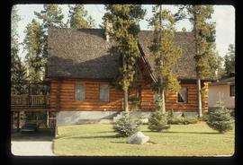
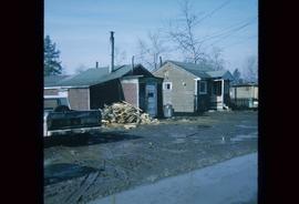
Image depicts a log house located somewhere on Kerry Street in Prince George, B.C.
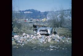
Image depicts a junk pile of bottles, cans and bags, as well as the gutted frame of an old car, at Island Cache.
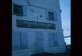
Image depicts a grocery store at Island Cache.
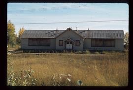
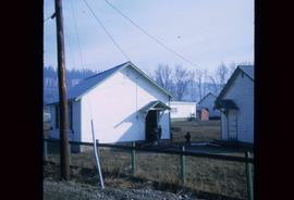
Image depicts an old, boarded up school in Island Cache, B.C.
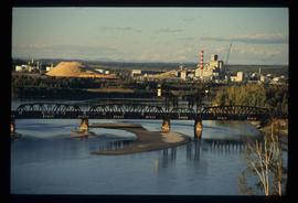
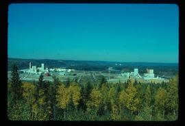
Image depicts two mills; the Intercontinental Pulp Mill is on the right in the foreground, and the Prince George Pulp and Paper Mill is on the left in the background. The picture is taken from the South, possibly off Yellowhead Bridge in Prince George, B.C.
Image depicts two mills; the Intercontinental Pulpmill is on the left side of the tracks in the image and the Prince George Pulp and Paper Mill is located on the right side in Prince George, B.C. The Northwood Pulp Mill can be seen in the distance.
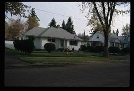
Image depicts houses on Dogwood Street in the Millar Addition neighbourhood of Prince George, B.C. On the left is 1610 Dogwood Street and 1630 Dogwood Street is the middle house; 1650 Dogwood Street is the blue house on the right.
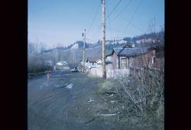
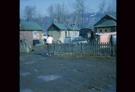
Image depicts numerous houses, and an unknown child standing in a street at Island Cache.
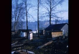
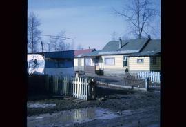
Image depicts a few houses in Island Cache.
Image depicts a number of small houses at Island Cache.
Image depicts a few houses in Island Cache. There are two unknown individuals present.
Image depicts a few houses and a dog on a porch at Island Cache.
Image depicts a number of small houses at Island Cache.
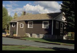
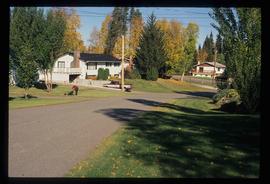
Image depicts a house, most likely on Thompson Drive in Prince George, B.C.
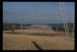
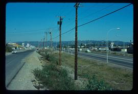
Image depicts the power lines in the Hixon area south of Prince Georg, B.C.
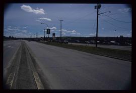
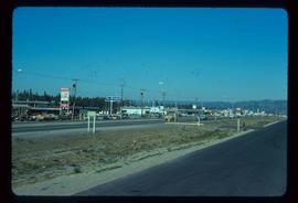
Image depicts a view along Highway 97 in Prince George, B.C.
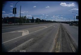
Image depicts Highway 97 at 15th Ave. looking north. Map coordinates 53°54'36.0"N 122°46'55.5"W
Image depicts Highway 97 at 15th Ave. looking north. Map coordinates 53°54'42.1"N 122°46'53.1"W
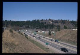
Image depicts a section of Highway 97 looking south. Map coordinates 53°55'10.3"N 122°46'54.9"W
Image depicts a highway, possibly Highway 97, in Prince George, B.C.
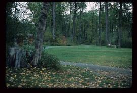
Image depicts a section of the Heritage Trail in Cottonwood Park.
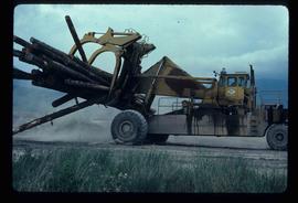
Image depicts a piece of heavy machinery lifting numerous logs. It is likely located in Prince George, B.C.
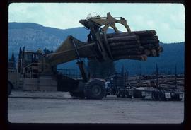
Image depicts a piece of heavy machinery lifting numerous logs off the back of a logging truck. It is likely located in Prince George, B.C.
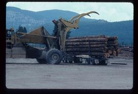
Image depicts a piece of heavy machinery lifting numerous logs off the back of a logging truck. It is likely located in Prince George, B.C.
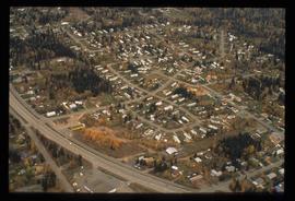
Image depicts a neighbourhood on the Hart Highway in Prince George, B.C.
Image depicts Glenview Drive near the Hart Highway in Prince George, B.C.
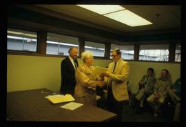
Image depicts a man and woman shaking hands in a building at an uncertain location, possibly in Cottonwood Park. The man standing behind the two is possibly Elmer Mercier, a former mayor of Prince George, B.C.
Image depicts a house on Blackwater Road.
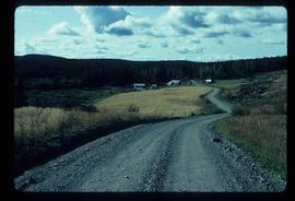
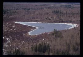
Image depicts Haldi Lake near Prince George, B.C.
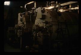
Image depicts machinery in the GTP roundhouse in Prince George, B.C.
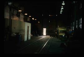
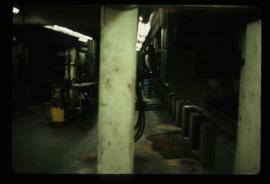
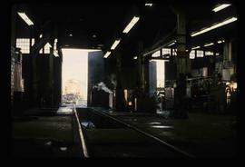
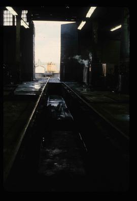
Image depicts the interior of the GTP roundhouse in Prince George, B.C.
Image depicts the interior of the GTP roundhouse in Prince George, B.C.
Image depicts the interior of the GTP roundhouse in Prince George, B.C.
Image depicts the interior of the GTP roundhouse in Prince George, B.C.
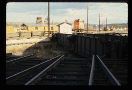
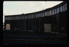
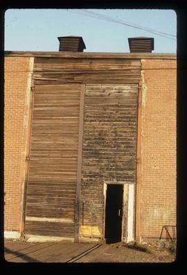
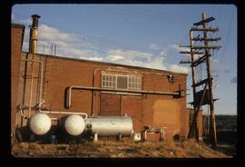
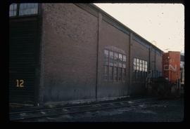
Image depicts the Grand Trunk Pacific railway roundhouse in Prince George, B.C.
Image depicts the Grand Trunk Pacific railway roundhouse in Prince George, B.C.
Image depicts the GTP roundhouse in Prince George, B.C.
Image depicts the GTP roundhouse in Prince George, B.C.
Image depicts the Grand Trunk Pacific railway roundhouse in Prince George, B.C.
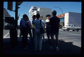
Image depicts a group of individuals standing on the corner of 3rd Ave in Prince George, B.C.
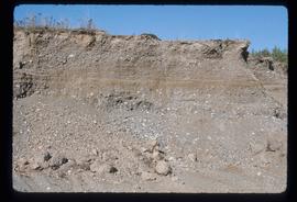
Image depicts layers of gravel at the BCR site in Prince George, B.C.
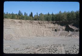
Image depicts layers of gravel at the BCR site in Prince George, B.C.
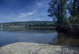
Image depicts the Fraser River and the Grand Trunk Pacific Bridge from Cottonwood Island Park.
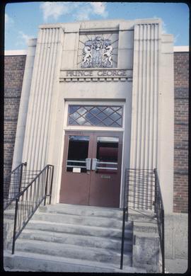
Image depicts the Canadian Forces Recruiting Centre on the north side of 3rd Ave in Prince George, B.C.
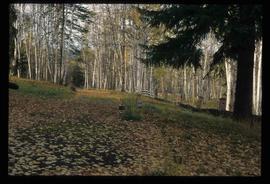
Image depicts the Ginter Property in Prince George, B.C.
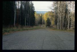
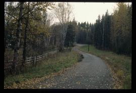
Image depicts a road near the Ginter House in Prince George, B.C.
Image depicts a road near the Ginter House in Prince George, B.C.
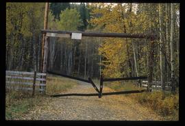
Image depicts a private driveway, most likely leading to the Ginter Property in Prince George, B.C.
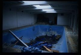
Image depicts a swimming pool filled with debris in the interior of the Ginter House in Prince George, B.C.
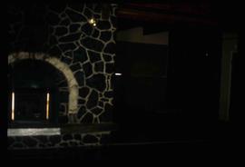
Image depicts the interior of the Ginter House in Prince George, B.C.
