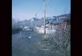
Image depicts numerous houses, and an unknown child standing in a street at Island Cache.
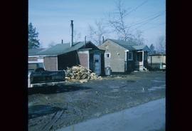
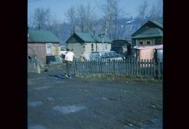
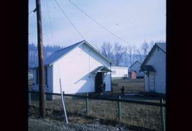
Image depicts a few houses in Island Cache.
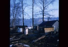
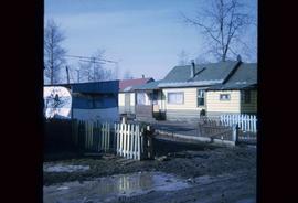
Image depicts a number of small houses at Island Cache.
Image depicts a few houses in Island Cache. There are two unknown individuals present.
Image depicts a few houses and a dog on a porch at Island Cache.
Image depicts a number of small houses at Island Cache.
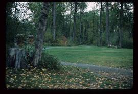
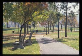
Image depicts a section of the Heritage Trail in Cottonwood Park.
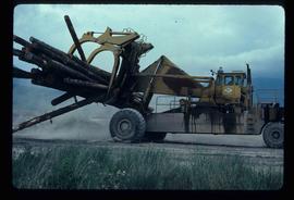
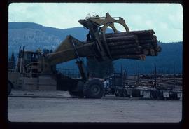
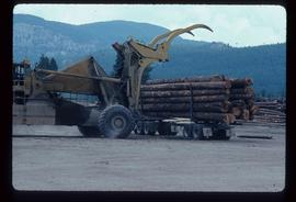
Image depicts a piece of heavy machinery lifting numerous logs. It is likely located in Prince George, B.C.
Image depicts a piece of heavy machinery lifting numerous logs off the back of a logging truck. It is likely located in Prince George, B.C.
Image depicts a piece of heavy machinery lifting numerous logs off the back of a logging truck. It is likely located in Prince George, B.C.
Slide depicts a man operating heavy equipment in a forest, likely at the Aleza Lake Experiment Station.
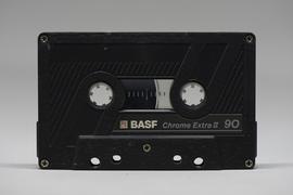
File consists an audio recording of an oral history with Harry Coates recorded by Barbara Coupe.
File consists an audio recording of an oral history with Harry Coates recorded by Barbara Coupe.
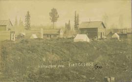
View of 5 buildings and 4 tents on land that has been cleared to stumps. Printed annotation on verso reads: “HAMILTON AVE. FORT GEORGE”, added handwritten annotation in ink reads: “1910”.
Image depicts a house on Blackwater Road.
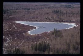
Image depicts Haldi Lake near Prince George, B.C.
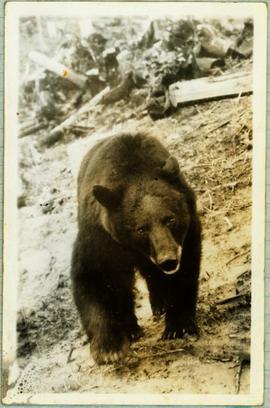
Handwritten caption below this photo reads: "Bought in Picture Prince George". Photograph depicts a grizzly bear walking on all fours in forest area, slash debris in background.
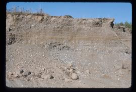
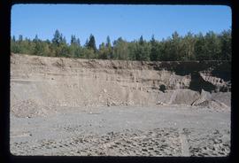
Image depicts layers of gravel at the BCR site in Prince George, B.C.
Image depicts layers of gravel at the BCR site in Prince George, B.C.
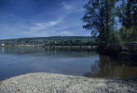
Image depicts the Fraser River and the Grand Trunk Pacific Bridge from Cottonwood Island Park.
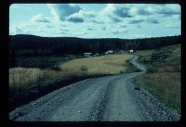
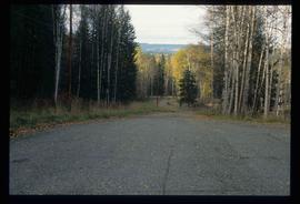
Image depicts a road near the Ginter House in Prince George, B.C.
Image depicts a road near the Ginter House in Prince George, B.C.
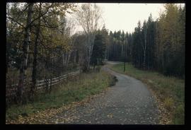
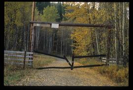
Image depicts a private driveway, most likely leading to the Ginter Property in Prince George, B.C.
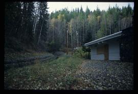
Image depicts the Ginter House and the surrounding woods, in Prince George, B.C.
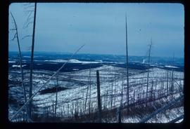
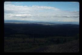
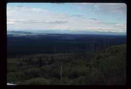
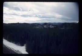
Image depicts the area surrounding Tabor Mountain. Prince George is slightly visible on the left side of the image in the background.
Image depicts the area surrounding Tabor Mountain. Prince George is slightly visible in the background.
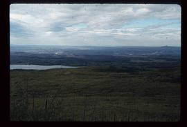
Image depicts a view of the landscape surrounding Tabor Mountain in Prince George, B.C.
Image depicts a view of the landscape surrounding Tabor Mountain in Prince George, B.C.
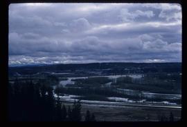
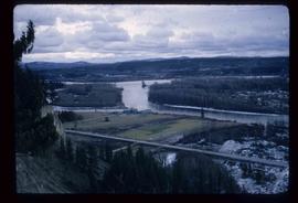
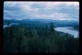
Image depicts the Fraser River from the vantage point of the cutbanks in Prince George, B.C.
Image depicts a view of the Fraser-Nechako confluence from the Prince George cutbanks.
Image depicts the Fraser River from Northwood Road in the Prince George area.
Image depicts the Fort George Par, which was renamed Lheidli T'enneh Memorial Park in 2015. Map coordinates 53°54'30.2"N 122°43'57.4"W
Image depicts an aerial view of Fort George Park.
Slide depicts a heavily forested area with fallen logs, likely at the Aleza Lake Experiment Station.
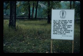
Image depicts a group of trees in the Cottonwood Park, with a sign which reads: "This is the primary plantation for the 'Forest for the World' project. These trees were planted on August 5, 1985, commemorating Prince George's 70th birthday by the citizens of Prince George & Expo 86'."
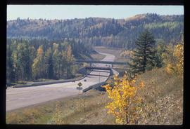
Image depicts the Foothills Bridge over the Nechako river on the Foothills Boulevard in Prince George, B.C. Map coordinates 53°56'52.5"N 122°48'59.9"W
Image depicts an esker at the Foothills Boulevard in Prince George, B.C.
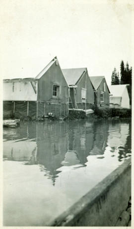
Photograph depicts lane in front of tent buildings flooded with water, forest trees in background. Photograph taken from canoe, portion of canoe visible in foreground. It is believed that this photograph may depict the Island Cache in flood, at Prince George, BC.
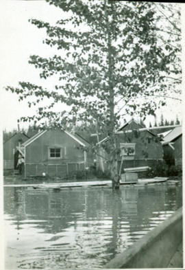
Photograph depicts lane in front of tent buildings flooded with water. Tree in midground, forest trees in background. A man can be seen between first and second row of tent buildings. Photograph taken from canoe, portion of canoe visible in right foreground. It is believed that this photograph may depict the Island Cache in flood, at Prince George, BC.
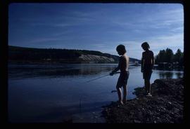
Image depicts two youths fishing from the bank of the Nechako River on Cottonwood Island.
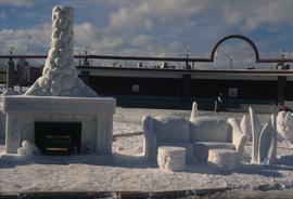
Image depicts a snow sculpted fire place and couch on a skating rink, possibly during the Winter City Conference, in Prince George, B.C. Taken at the Prince George Civic Center. Map coordinates 53°54'45.6"N 122°44'59.6"W
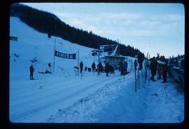
Image depicts numerous skiers standing near a finish line somewhere on Tabor Mountain in Prince George, B.C.
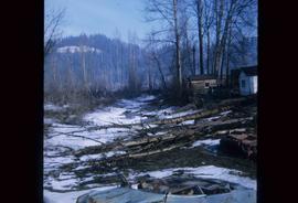
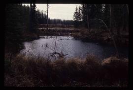
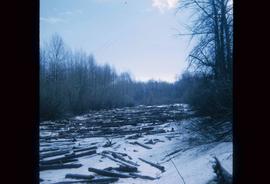
Image depicts some fallen trees at Island Cache.
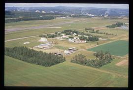
Image depicts a view of an experimental farm, possibly taken from Tabor Mountain.
Image depicts Eskers Park, near Prince George, B.C.
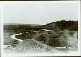
Early spring landscape with roadbed and track in foreground, river in midground, and hill in background.
Handwritten annotation on recto: “PRINCE GEORGE 4-20-13”.
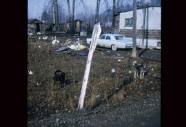
Image depicts two dogs and numerous chickens in a yard at Island Cache.
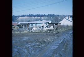
Image depicts the rubble of a demolished house at Island Cache, with several other buildings in the background.
Image depicts an area of cut trees at Island Cache.
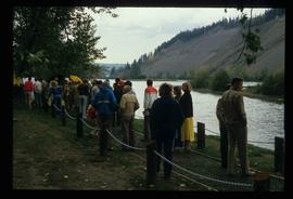
Image depicts a large crowd of people on a section of the Heritage Trail on Cottonwood Island in Prince George, B.C.
