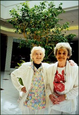
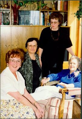
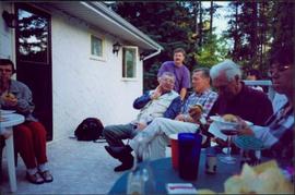
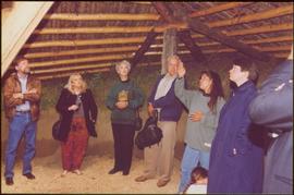
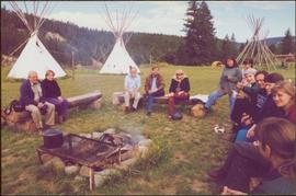
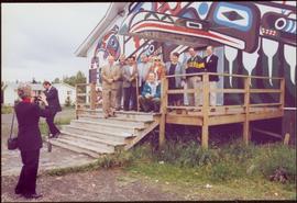
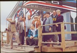
File consists of a transcript of an oral history interview with Barb Harkins. Also includes photocopies of Barb Harkins' personal records, such as photographs.
File consists of a transcript of an oral history interview with Ivan Andersen.
File consists of a transcript of an oral history interview with Jack Boudreau. Also includes photocopies of Jack Boudreau's personal records, such as the Diary of Ada (Adelia) Sykes.
File consists of an audio recording of an interview with Jack Boudreau. Includes one original recorded audio cassette and one copy.
File consists of a transcript of an oral history interview with Earl Lousier and Harry Gairns.
Image depicts the fire hall in Atlin, B.C.
This map is the Schedule A accompanying map for the City of Prince George's Soil Removal and Deposit Bylaw No. 7022 of 1999. It depicts designated soil removal areas and M.O.T.H. gravel reserves.
The group stands in front of an ornate stone wall and two Canadian flags.
Handwritten annotation on photograph enclosure reads: “8/6/99. Dear Lady, When I saw this photograph I knew there was a certain person who would truly appreciate and ‘feel’ its significance. Not many steps left to take now . . . . your unwavering support is never more appreciated. best personal regards, Peter”; handwritten annotation on verso reads: “Nisga’a”.
File consists of photocopied maps of Island Cache (Cottonwood Island) and Prince George.
Image depicts the Moose Hall in the Atlin Museum. A sign above the door reads: "In 1905 this building was the new Arctic Brotherhood Hall in Discovery. Some years later it was hauled here in two parts by horses to become the Moose Lodge and Community Hall."
Image depicts the government liquor store in Atlin, B.C.
File consists of photocopies of 1960s records from the City of Prince George related to Island Cache that were organized by researchers involved with the Island Cache Recovery Project. Includes an Urban Renewal Report and municipal memoranda.
This map depicts the City of Prince George's plan for soil removal and deposit.
This map is part of Schedule B of the 1993 Official Community Plan, Bylaw No. 5909 for the City of Prince George. This particular map reflects the 1998 amendment to the Official Community Plan.
Photograph depicts Mary John shaking hands with unidentified man at official ceremony where she was awarded the Order of Canada for outstanding service to her community. Two unidentified woman stand in background in large ornately furnished room.
Photograph depicts Moran standing in floral print dress, holding plate of food by fruit platter featuring a carved elephant and palm tree. Party decorations and tree can be seen in image. Building and unidentified men stand in background.
Photograph depicts three elderly women posing together for photograph. Six other women visible in building; second building can be seen through door in background.
Photograph depicts water in foreground, bayside village in background.
Photograph depicts sign in foreground outlining rules and restrictions for behaviour at Moricetown Canyon. Traditional fishing territory visible behind sign at waterfall in the Bulkley River, B.C. Highway and buildings can be seen in background.
Photograph depicts Mike Harcourt with arm around Moran, both in western attire. Unidentified man visible in background.
Photograph depicts Bridget Moran seated on far right, two unidentified woman on left. Vehicles and shops on street visible through windows in background.
Photograph depicts unknown lake. Moran slightly visible in far left. Village can be seen on opposite shore in background.
Photograph depicts two unidentified woman standing in front of tall plant in mall. Photo believed to have been taken in Newton, B.C.
Photograph depicts Moran standing behind three seated women in unknown room. Plants and bookshelves in background.
Photograph depicts group of men and women eating on deck attached to unknown house. Photo believed to have been taken during event held to celebrate Bridget Moran receiving an Honourary Law Degree from the University of Northern British Columbia in Prince George, B.C.
Photograph taken in Addie Milewski's driveway, police car parked behind. Neighbouring yards can be seen across street in background.
Photographer’s stamp on verso reads: “May 1994”.
Item is one of nine photographs accompanying a greeting card from Agnes Hauglak, Addie Milewski’s sister, reading: “I though you might want these photos. I had to go and send every one their family things. Thank you for being kind to my sister Addie, Agnes M Hauglak”; see also items 2009.6.1.569 - 2009.6.1.577.
Image depicts a group of individuals on the sidewalk outside Spee-Dee Printers on Brunswick Street in Prince George, B.C.
Image depicts a woman, wearing clothes reminiscent of traditional First Nations, who appears to be dancing in the street outside of a Native Friendship Centre in Prince George, B.C. A large crowd is looking on.
Image depicts a marching band with numerous other unidentified individuals. One man is carrying a Canadian flag with the depiction of men in a boat and the words "Canada Sea-to-Sea" on it.
Image depicts a marching band with numerous other unidentified individuals. One man is carrying a Canadian flag with the depiction of men in a boat and the words "Canada Sea-to-Sea" on it, and there is a mascot beside him that appears to be a chipmunk in an RCMP uniform.
Image depicts a marching band with numerous other unidentified individuals. One man is carrying a Canadian flag with the depiction of men in a boat and the words "Canada Sea-to-Sea" on it.
Image depicts a group of individuals standing on the corner of 3rd Ave in Prince George, B.C.
Two unidentified men stand in background.
Handwritten annotations on verso read: “Oct 2/1992, Faculty of Management, University of Calgary, Frank King and Iona Campagnolo,” and “from Calgary ’88 Friends”.
This map is part of Schedule B of the 1993 Official Community Plan, Bylaw No. 5909 for the City of Prince George. This particular map depicts the east area of the City of Prince George, including the Prince George Airport (YXS) and the Blackburn area.
Chancellor Campagnolo stands with man believed to be the mayor of Tumbler Ridge, President Geoffrey Weller, and Dean Fred Gilbert. Photograph was taken during the chancellor's tour of the Peace-Liard Region, 1993.
Chancellor Campagnolo stands with Chetwynd Mayor Charlie Lasser, President Geoffrey Weller, an unidentified man, and Fred Gilbert. Photograph was taken during the chancellor's tour of the Peace-Liard Region, 1993.
Handwritten annotation on verso reads: "chetwynd".
Chancellor Campagnolo stands with five unidentified Quick Start students, Fred Gilbert, and Nick Petraryszak. Photograph was taken during the chancellor's tour of the Peace-Liard Region, 1993.
This map is part of Schedule B of the 1993 Official Community Plan, Bylaw No. 5909 for the City of Prince George. This particular map depicts the northeast area of the City of Prince George, including the industrial areas on Prince George Pulpmill Road and Northwood Pulpmill Road along the Fraser River.
This map is part of Schedule B of the 1993 Official Community Plan, Bylaw No. 5909 for the City of Prince George. This particular map depicts the central area of the City of Prince George, including the Bowl area, the VLA, the Crescents, South Fort George, Heritage, and Peden Hill.
This map is part of Schedule B of the 1993 Official Community Plan, Bylaw No. 5909 for the City of Prince George. This particular map depicts the northwest area of the City of Prince George, including the North Nechako neighbourhood and the Hart.
This map is part of Schedule B of the 1993 Official Community Plan, Bylaw No. 5909 for the City of Prince George. This particular map depicts the southwest area of the City of Prince George, including College Heights, UNBC, University Heights, and Vanway.
Unidentified woman stands third from right, with arm raised. Photograph was taken during the chancellor's tour of Xats'ull Heritage Village, Soda Creek First Nation, Williams Lake, B.C.
Left to right: Charles Jago and unidentified woman, David Fish, Dennis Macknak, Deborah Poff, unidentified woman and child, Iona Campagnolo, Lee Morrison, Ellen Facey, two unidentified women. Teepees visible in background. Photograph was taken during the chancellor's tour of Xats'ull Heritage Village, Soda Creek First Nation, Williams Lake, B.C.
Group features Charles Jago, Mike Hammar, Jacob McKay, Bert McKay, Deborah Poff, Alex Michalos, Dennis Macknak, Margaret Anderson, David Fish, Dean Doug Nord, and Fred Beil. Photograph was taken during the chancellor's tour of Nass Valley, ca. 1992.
Group features Charles Jago, Mike Hammar, Jacob McKay, Bert McKay, Deborah Poff, Alex Michalos, Dennis Macknak, Margaret Anderson, David Fish, Dean Doug Nord, Fred Beil, and Chancellor Iona Campagnolo. Photograph was taken during the chancellor's tour of Nass Valley, ca. 1992.
Two unidentified woman are also visible with the group, on far left and in centre with arm raised. Young girl sits on post in foreground. Photograph was taken during the chancellor's tour of Xats'ull Heritage Village, Soda Creek First Nation, Williams Lake, B.C.
Photograph features UNBC Provost Deborah Poff, UNBC President Dr. Charles Jago, an unidentified man, Chancellor Iona Campagnolo and Reverend Ian MacKenzie signing papers. Photograph was taken during the chancellor's tour of Nass Valley, ca. 1992.
"The Cassiar Courier" is a newspaper that documents the community and work life of the residents of Cassiar BC. Content includes text and photographs, as well as jokes, comics, and games.