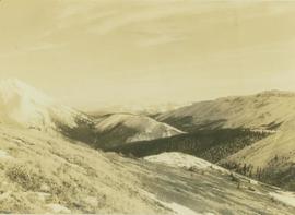
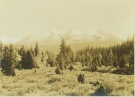
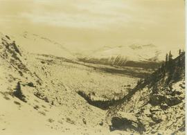
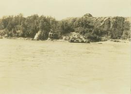
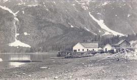
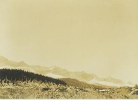
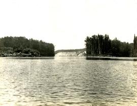
2000.13.1.130
·
Item
·
[between 1962 and 1967].
Part of Ray Williston fonds
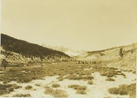
Item is a photograph of construction of the W.A.C. Bennett Dam.