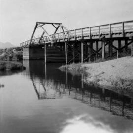
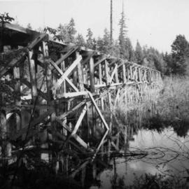
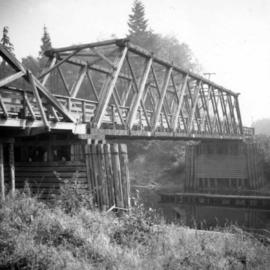
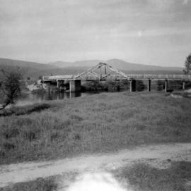
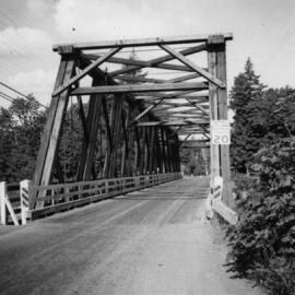
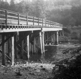
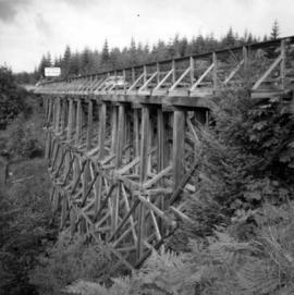
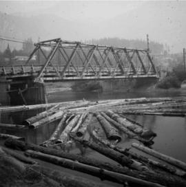
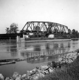
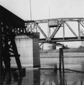
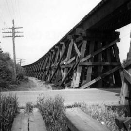
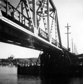
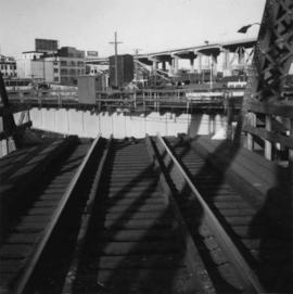
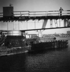
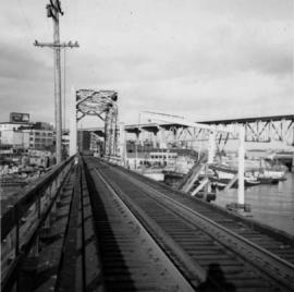
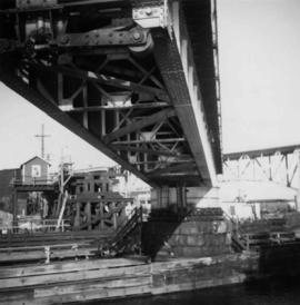
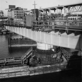
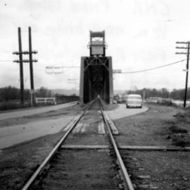
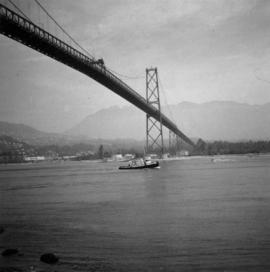
Photograph depicts the Lions Gate Bridge in Vancouver, BCfrom the southeast side.
Photograph depicts a bridge over the Alouette River, 3.5 miles north of Port Hammond in the Fraser Valley.
Photograph depicts a former logging railroad trestle west of Port Alberni, BC
Photograph depicts a wooden bridge over the Salmon River near Sayward, near Kelsey Bay, on North Vancouver Island.
Photograph depicts bridge over the Alouette River, 3.5 miles north of Port Hammond and close to Dewdney Truck Road in the Fraser Valley.
Photograph depicts a bridge over the Nanaimo River on the road between Nanaimo and Cedar-by-the-Sea, looking west, downstream to river.
Photograph depicts bridge crossing over the Campbell River, 1 mile west of downtown Campbell River.
Photograph depicts a road trestle bridge for cars about halfway between south Wellington and Nanaimo Lake, southwest of Nanaimo.
Photograph depicts a road bridge at Squamish B.C. from the north bank.
Photograph depicts a truss bridge over the Salmon River near Kelsey Bay, North Vancouver Island.
Photograph depicts a wooden bridge crossing a stream on the north side of Vedder Mountain near Belrose.
Photograph depicts a C.N.R. swing bridge over the north arm of the Fraser River, approximately 5 miles southeast of New Westminster, looking north.
Photograph depicts a trestle on the south bank of the north arm of the Fraser River leading from the C.N.R. swing bridge, approximately 5 miles southeast of New Westminster, looking south.
Photograph depicts the B.C. Electric Railway swing bridge connecting Lulu Island to the mainland at New Westminster, looking north and taken from Lulu Island. The swinging span is left open except for the passage of freight trains.
Photograph depicts a wooden bridge over the Salmon River near Sayward, near Kelsey Bay, North Vancouver Island.
Photograph depicts a C.N.R. swing bridge over the north arm of the Fraser River, approximately 5 miles southeast of New Westminster, looking northeast.
Photograph depicts a wooden truss bridge in north Washington, probably somewhere east of Everett.
Photograph depicts the C.N.R. rail swing bridge on the north arm of the Fraser River, approximately 5 miles southeast of New Westminster, looking north.
Photograph depicts a trestle of the Great Northern Railway, main line to Blaine, curving towards the southwest from the south end of the New Westminster rail bridge.
Photograph depicts the fixed span of the B.C. Electric Railway swing bridge at False Creek looking south.
Photograph depicts the B.C. Electric Railway trestle bridge swinging span at False Creek.
Photograph depicts the B.C. Electric Railway swing bridge at False Creek on the west side looking east as it is about to swing open.
Photograph depicts the B.C. Electric Railway trestle bridge over False Creek looking north at the fixed span. The fixed span can be removed by floating it onto a scow on rising tide to allow large and newly launched ships to get out to sea.
Photograph depicts the under face of the B.C. Electric Railway swing bridge at False Creek looking north.
Photograph depicts the False Creek Trestle bridge open and the Granville Bridge looking east.
Photograph depicts the B.C. Electric Railway swing bridge at False Creek.
Photograph depicts a former C.N.R. station at Youbou on Lake Cowichan on Vancouver Island. The track is still used to serve the plywood lumber mill at Youbou.
Postcard depicts the Canadian Pacific Railway line where the Great Divide between BC and Alberta.
Postcard taken along the CPR line, at a camp in Yoho Valley.
Postcard depicts the Great Divide between Alberta and British Columbia, along the CPR line.
Photograph depicts an airplane belonging to the 407 Squadron of the Royal Canadian Air Force. It is located in Nanton in southwest Alberta, standing beside the highway at the edge of town.
Photograph shows a portable engine at Gang Ranch on the Fraser River. The engine was made by Robert Bell Engine and Thresher Company, Seaforth, Ontario.
Photograph depicts a northbound 4 unit Budd passenger train at the flag stop in Australian, BC.
Photograph taken in the Okanagan Subdivision, 19.7 rail miles north of Kelowna.
Photograph depicts a rail bridge over the Fraser River. Canter levelled on both sides were vehicle roadways which ceased to be used in 1987 when a new road bridge was supposed to be completed. The right lane took cars into the city of Prince George.
Photograph depicts the Kamloops Indian Reserve spur on the north side of the Thompson River. Looking south of the Red Bridge. Image displays part of the depot line built in 1915.
Photograph depicts a sawmill yard at CPR yard adjacent to barge slip at the end of the branch line. Slocan Lake is in the distance.
Photograph depicts a car at the Revelstoke yards. It was built in 1948 for newsprint only and painted green
Photograph depicts a CPR roundhouse at the False Creek yards in Vancouver. The tender of stored locomotive #2860 is protruding, as the house cannot taken the length of this locomotive. Locomotive #2860 is a 4-6-4 Royal Hudson, built in 1940 at the Montreal Locomotive Works. It is now owned by Mr. J. Hussey of West Vancouver.
Photograph depicts the three long distance westbound freights being held by the Super Continetal, a westbound train.
Photograph depicts a C.P.R. train switching at Osoyoos, B.C.
Photograph depicts a velocipede north of C.P.R. track and immediately west of Port Hammond in the Fraser Valley. These three-wheeled hand/foot powered track vehicles were mostly used by track patrolmen.
Photograph depicts a Canadian National Railway (CN) steam pile driver and steam generator used to make pile bridge over Mosquito Creek in North Vancouver, to increase the Pacific Great eastern trackage by one more set of tracks.
Photograph depicts an old type of boxcar (#71139) at Canadian National Railway (CN) Kamloops Junction. It was left right beside the station to hold coal and had no building date marked on it.
Photograph depicts a Canadian National Railway (CN) service car at Chilliwack.
Photograph depicts the Canadian National Railway (CN) line in Kelowna. In the background are freight yards and a loading ramp to rail scows on Lake Okanagan.
Photograph depicts the combined Canadian National Railway (CN) and C.P.R. wharf at Summerland on Okanagan Lake. The trackage extends behind the camera for about 150 yards. It is used mainly for summer fruit traffic.
Photograph depicts the Canadian National Railway (CN) line at Penticton. The wharf at the lake head is for loading rail scows.
Photograph depicts a disused Canadian National Railway (CN) passenger depot at Kelowna. The offices still used for parcels, ticket sales, etc. There is still good freight traffic.
Photograph depicts the Canadian National Railway (CN) Peachland on Okanagan Lake. It was used for the lumber trade mainly, but also fruit in season. The track stops at the foreground of the photo.