2012.13.2.21.05
·
File
·
1972-1999
Part of J. Kent Sedgwick fonds
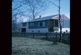
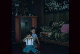
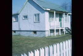
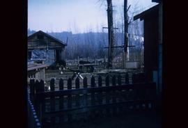
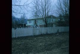
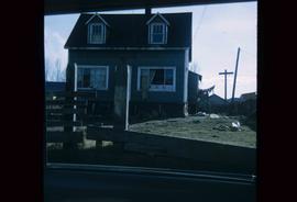
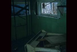
File consists of original and photocopied newspaper clippings regarding Cottonwood Island and Island Cache, predominantly from the Prince George Citizen.