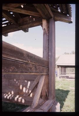
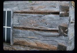
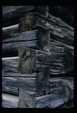
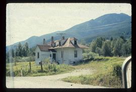
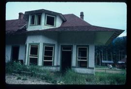
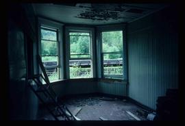
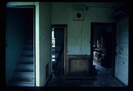
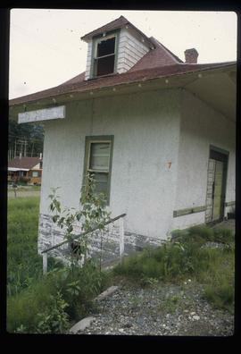
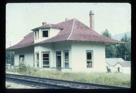
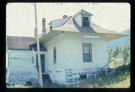
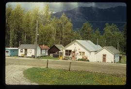
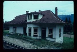
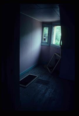
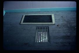
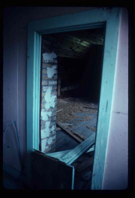
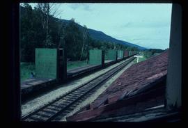
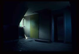
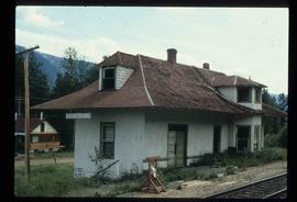
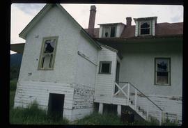
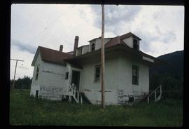
Image depicts a wooden Ranch House at an uncertain location.
Image depicts a shed somewhere in Kitwancool Lake, B.C.
Image depicts a wooden fence at somewhere in Meldrum Creek, B.C.
Image depicts a wooden fence at an uncertain location, perhaps somewhere in the Chilcotin region.
Image depicts a cabin at an unknown location.
Image depicts a cabin at Fraser Lake, B.C. which is labelled on the slide as an example of a "square log" dovetail joint.
Image depicts the corner of a log house, the slide itself labels the picture as being from Barkerville, B.C. and also indicates the corner is an example of a "round log" dovetail joint.
File contains slides depicting items and photographs in a museum.
File contains slides depicting geomorhp diagrams.
File contains slides depicting a Doukabour community at an unknown location.
File contains slides depicting quotations and sketched images.
File contains slides depicting closeups of flowers at unknown locations.
File contains slides depicting maps of Canada's former boundaries.
File contains slides depicting birds and wildlife at unknown locations.
File contains slides depicting views of numerous B.C. Mountains.
File contains slides depicting maps from the B.C. Atlas.
File contains slides depicting various places located across Canada.
Image depicts the old Dunster Station in Dunster, B.C.
Image depicts the town of Dunster, B.C.
Image depicts the old Dunster Station in Dunster, B.C.
Image depicts the interior of the old Dunster Station in Dunster, B.C.
Image depicts the train tracks at the old Dunster Station in Dunster, B.C.
Image depicts the interior of the old Dunster Station in Dunster, B.C.
Image depicts the old Dunster Station in Dunster, B.C.
File contains slides depicting places in and around Yellowstone and the Snake Plain in the USA.
File contains slides depicting various places in the USA.
File contains slides depicting places in Wyoming, USA.
File contains slides depicting places along Route 80 in the USA.
File contains slides depicting places in Idaho, Wyoming, and Montana, USA.
File contains slides depicting Premier Mine in Hyder, Alaska.
File contains slides depicting the Columbia River in Interior Washington, USA.
File contains slides depicting a caving group in various places in West Virgina, USA.
File contains slides depicting places in California, USA.
Image depicts a grave somewhere along the White Pass railway.
Image depicts a view over a forested, mountainous area and a river towards the vicinity of Skagway, Alaska.
Image depicts an old trestle along the White Pass railway, and the White pass Train on the left of the image.
Image depicts the White Pass Train crossing over a railway bridge at an uncertain location in the mountains.
Image depicts a patch of snow-covered ground with a sign that reads "Trail of 98," somewhere along the White Pass railway.