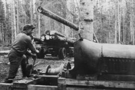
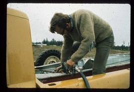
Photograph depicts a male worker operating a gin pole, winch and jammer to hoist logs onto a logging truck at Peden Hill sawmill.
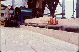
Item is a photograph of a worker operating a Chip-n-Saws.
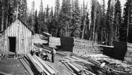
Photograph depicts a male worker standing amid stacks of lumber in a lumber yard at Peden Hill sawmill.
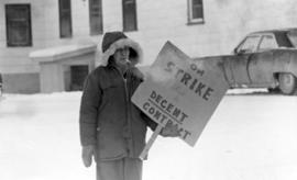
Photograph depicts a worker holding "On Strike for a Decent Contract" sign during the 1970 U.S.W.A. Local 6536 strike at Cassiar.
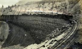
Photograph depicts a Pacific Great Eastern Railway work train on a trestle located near Sallus Creek in the area around Lillooet, Fountain, and Pavilion. The work train appears to be carrying railway ties. Railway workers work on the track behind the train with piles of unused rail ties nearby.
Photographs 2020.08.68, 2020.08.69, and 2020.08.70 are three views of track laying on the Sallus Creek trestle. These form a sequence: 2020.08.68, 2020.08.70, 2020.08.69 in order as track laying proceeds from the South end of the trestle toward the North end. The piece of equipment at the North end of the train in all three images is a track laying machine that lifted a piece of rail and delivered it to the workmen ahead of the machine. "Canadian Railway and Marine World" reported that track had been laid to 14 miles North of Lillooet by July 30, 1915 (CR&MW , Sept 1915, p341, c2). 14 miles North of Lillooet is approximately 20 rail lengths beyond the North end of this trestle, leading to a "best estimate" of late July 1915 as the date for this photograph.
The ca. 1921-1927 “PGE Bridge List” from the notebook of William H. Hewlett (1914-1968) references a Mile 13.7, 14 Mile Creek, frame trestle, 905 ft. long, 182 ft. high, 61 spans of 14.8 feet in the Lillooet Subdivision. A “PGE Track Profile” drawing shows this trestle was on a 1.55% grade and a 12 degree left hand curve. While the drawing had been revised at least twice (with an unknown date for the most recent revision), the pre-“Lillooet Diversion of 1931" mileage figures confirm that the 1915 “Mile 13.7" was in agreement with a more recent hand written note “Sallus Creek”. The trestle appears to have gone by the names "14 Mile" trestle, "13.7 Mile Trestle", and "Sallus Creek" trestle.
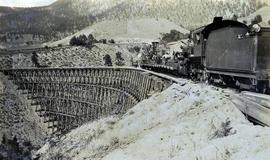
Photograph depicts a Pacific Great Eastern Railway work train on a trestle located near Sallus Creek in the area around Lillooet, Fountain, and Pavilion. The work train appears to be carrying railway workers and a load of rails.
Photographs 2020.08.68, 2020.08.69, and 2020.08.70 are three views of track laying on the Sallus Creek trestle. These form a sequence: 2020.08.68, 2020.08.70, 2020.08.69 in order as track laying proceeds from the South end of the trestle toward the North end. The piece of equipment at the North end of the train in all three images is a track laying machine that lifted a piece of rail and delivered it to the workmen ahead of the machine. "Canadian Railway and Marine World" reported that track had been laid to 14 miles North of Lillooet by July 30, 1915 (CR&MW , Sept 1915, p341, c2). 14 miles North of Lillooet is approximately 20 rail lengths beyond the North end of this trestle, leading to a "best estimate" of late July 1915 as the date for this photograph.
The ca. 1921-1927 “PGE Bridge List” from the notebook of William H. Hewlett (1914-1968) references a Mile 13.7, 14 Mile Creek, frame trestle, 905 ft. long, 182 ft. high, 61 spans of 14.8 feet in the Lillooet Subdivision. A “PGE Track Profile” drawing shows this trestle was on a 1.55% grade and a 12 degree left hand curve. While the drawing had been revised at least twice (with an unknown date for the most recent revision), the pre-“Lillooet Diversion of 1931" mileage figures confirm that the 1915 “Mile 13.7" was in agreement with a more recent hand written note “Sallus Creek”. The trestle appears to have gone by the names "14 Mile" trestle, "13.7 Mile Trestle", and "Sallus Creek" trestle.
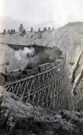
Photograph depicts a Pacific Great Eastern Railway work train on a trestle located near Sallus Creek in the area around Lillooet, Fountain, and Pavilion. The work train appears to be carrying railway ties.
Photographs 2020.08.68, 2020.08.69, and 2020.08.70 are three views of track laying on the Sallus Creek trestle. These form a sequence: 2020.08.68, 2020.08.70, 2020.08.69 in order as track laying proceeds from the South end of the trestle toward the North end. The piece of equipment at the North end of the train in all three images is a track laying machine that lifted a piece of rail and delivered it to the workmen ahead of the machine. In this photograph, the machine is at the current end of track and is ready to advance the next length of rail."Canadian Railway and Marine World" reported that track had been laid to 14 miles North of Lillooet by July 30, 1915 (CR&MW , Sept 1915, p341, c2). 14 miles North of Lillooet is approximately 20 rail lengths beyond the North end of this trestle, leading to a "best estimate" of late July 1915 as the date for this photograph.
The ca. 1921-1927 “PGE Bridge List” from the notebook of William H. Hewlett (1914-1968) references a Mile 13.7, 14 Mile Creek, frame trestle, 905 ft. long, 182 ft. high, 61 spans of 14.8 feet in the Lillooet Subdivision. A “PGE Track Profile” drawing shows this trestle was on a 1.55% grade and a 12 degree left hand curve. While the drawing had been revised at least twice (with an unknown date for the most recent revision), the pre-“Lillooet Diversion of 1931" mileage figures confirm that the 1915 “Mile 13.7" was in agreement with a more recent hand written note “Sallus Creek”. The trestle appears to have gone by the names "14 Mile" trestle, "13.7 Mile Trestle", and "Sallus Creek" trestle.
Photograph depicts a work crew train on the B.C. Electric Railway trackage, just south of the north arm crossing of the Fraser River on Lulu Island. The crews are working on re-routing the track to Steveston at this point.
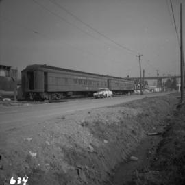
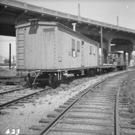
Photograph depicts a work car, flat car, and ex-electric stock snow plow at the B.C. Electric Railway Kitsilano workshop yards in Vancouver.
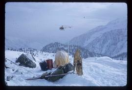
Image depicts a helicopter flying over the Woolsey Glacier.
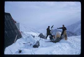
Image depicts two unknown individuals at the Woolsey Glacier.
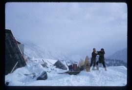
Image depicts two unknown individuals at the Woolsey Glacier.
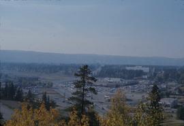
Image depicts Parkwood Place taken from Connaught Hill looking west with the hospital in the background. Map coordinates 53°54'39.9"N 122°45'02.5"W
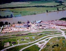
An aerial view of Shelley Sawmill with the Fraser River in the background and the mill complex in the foreground.
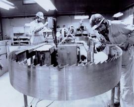
Saw filer, R. Thomessen works on a saw in the Prince George Sawmill.
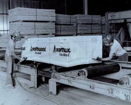
Two unidentified employees wrap a stack of Northwood lumber.
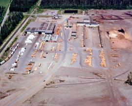
An aerial perspective of the Prince George Sawmill.
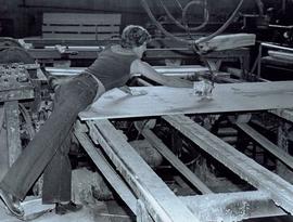
Unidentified female employee filing holes in plywood sheeting.
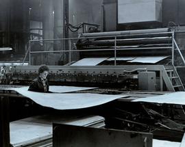
Unidentified female employee stacking veneer before gluing.
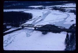
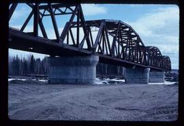
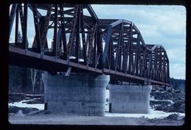
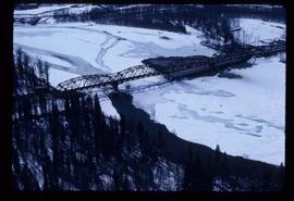
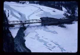
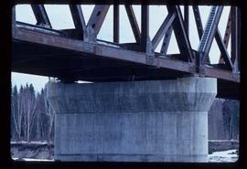
Woods Division - Fraser River Bridge Project.
Woods Division - Fraser River Bridge Project.
Woods Division - Fraser River Bridge Project.
Woods Division - Fraser River Bridge Project.
Woods Division - Fraser River Bridge Project.
Woods Division - Fraser River Bridge Project.
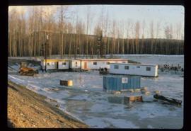
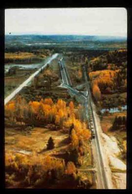
Woods Division
Woods Division.
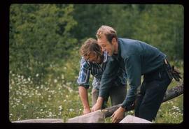
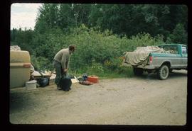
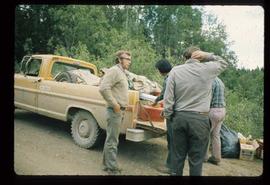
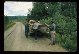
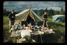
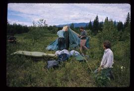
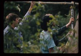
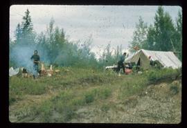
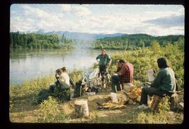
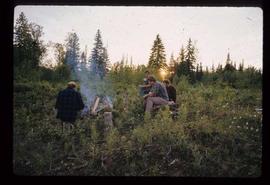
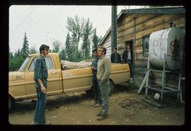
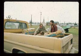
Woods Division - Timbercruising.
Woods Division - Timbercruising.
Woods Division - Timbercruising.
Woods Division - Timbercruising.
Woods Division - Timbercruising.
Woods Division - Timbercruising.
Woods Division - Timbercruising.
Woods Division - Timbercruising.
Woods Division - Timbercruising.
Woods Division - Timbercruising.
Woods Division - Timbercruising.
Woods Division - Timbercruising.
Woods Division - Timbercruising.
Woods Division - Timbercruising.
Woods Division - Timbercruising.
Woods Division - Timbercruising.
Woods Division - Timbercruising.
Woods Division - Timbercruising.
Woods Division - Timbercruising.
Woods Division - Timbercruising.
Woods Division - Timbercruising.
Woods Division - Timbercruising.
Woods Division - Timbercruising.
